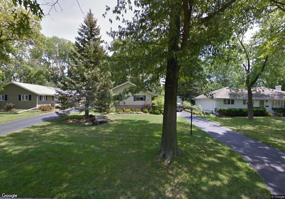
219 Shirley Ct Wheaton, IL 60187
West Wheaton NeighborhoodEstimated Value: $409,662 - $445,000
4
Beds
2
Baths
1,617
Sq Ft
$260/Sq Ft
Est. Value
About This Home
This home is located at 219 Shirley Ct, Wheaton, IL 60187 and is currently estimated at $419,916, approximately $259 per square foot. 219 Shirley Ct is a home located in DuPage County with nearby schools including Clarence E Culver School, Emerson Elementary School, and Monroe Middle School.
Ownership History
Date
Name
Owned For
Owner Type
Purchase Details
Closed on
Mar 14, 2007
Sold by
Hvale Richard E and Hvale Dorothy
Bought by
Lang Timothy E and Lang Hillary B
Current Estimated Value
Home Financials for this Owner
Home Financials are based on the most recent Mortgage that was taken out on this home.
Original Mortgage
$225,600
Outstanding Balance
$136,103
Interest Rate
6.2%
Mortgage Type
Purchase Money Mortgage
Estimated Equity
$283,813
Create a Home Valuation Report for This Property
The Home Valuation Report is an in-depth analysis detailing your home's value as well as a comparison with similar homes in the area
Home Values in the Area
Average Home Value in this Area
Purchase History
| Date | Buyer | Sale Price | Title Company |
|---|---|---|---|
| Lang Timothy E | $282,000 | Baird & Warner Title Service |
Source: Public Records
Mortgage History
| Date | Status | Borrower | Loan Amount |
|---|---|---|---|
| Open | Lang Timothy E | $225,600 |
Source: Public Records
Tax History Compared to Growth
Tax History
| Year | Tax Paid | Tax Assessment Tax Assessment Total Assessment is a certain percentage of the fair market value that is determined by local assessors to be the total taxable value of land and additions on the property. | Land | Improvement |
|---|---|---|---|---|
| 2024 | $6,692 | $111,823 | $29,854 | $81,969 |
| 2023 | $6,415 | $102,930 | $27,480 | $75,450 |
| 2022 | $6,322 | $97,280 | $25,970 | $71,310 |
| 2021 | $6,297 | $94,970 | $25,350 | $69,620 |
| 2020 | $6,276 | $94,080 | $25,110 | $68,970 |
| 2019 | $6,128 | $91,600 | $24,450 | $67,150 |
| 2018 | $5,628 | $83,710 | $23,030 | $60,680 |
| 2017 | $5,538 | $80,620 | $22,180 | $58,440 |
| 2016 | $5,457 | $77,400 | $21,290 | $56,110 |
| 2015 | $5,407 | $73,840 | $20,310 | $53,530 |
| 2014 | $5,774 | $77,210 | $18,840 | $58,370 |
| 2013 | $5,626 | $77,450 | $18,900 | $58,550 |
Source: Public Records
Map
Nearby Homes
- 200 N Erie St
- 615 Polo Dr
- 1321 W Liberty Dr
- 119 N Dorchester Ave
- 2059 W Roosevelt Rd
- 1785 Grosvenor Cir Unit A
- 1489 Woodcutter Ln Unit A
- 505 S Knollwood Dr
- 904 Dartmouth Dr
- 0S015 Cottonwood Dr
- 620 Crest St
- 906 W Roosevelt Rd
- 1970 Wexford Cir
- 26W278 Harrison Ave
- 0N042 Nepil Ave
- 0S064 Calvin Ct
- 1223 Westhaven Dr
- 2042 Wexford Cir
- 1s050 Shaffner Rd
- 27W031 Cooley Ave