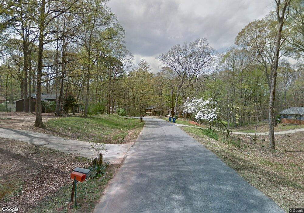
219 Tall Tree Rd Bogart, GA 30622
Estimated Value: $266,000 - $299,000
--
Bed
--
Bath
1,200
Sq Ft
$230/Sq Ft
Est. Value
About This Home
This home is located at 219 Tall Tree Rd, Bogart, GA 30622 and is currently estimated at $275,903, approximately $229 per square foot. 219 Tall Tree Rd is a home located in Clarke County with nearby schools including Cleveland Road Elementary School, Burney-Harris-Lyons Middle School, and Clarke Central High School.
Ownership History
Date
Name
Owned For
Owner Type
Purchase Details
Closed on
Feb 7, 2019
Sold by
Sapphire Properties Lp
Bought by
Reincheld Nathan Allen and Reincheld Stacy Lynn
Current Estimated Value
Home Financials for this Owner
Home Financials are based on the most recent Mortgage that was taken out on this home.
Original Mortgage
$144,496
Outstanding Balance
$126,779
Interest Rate
4.4%
Estimated Equity
$149,124
Purchase Details
Closed on
Nov 15, 2018
Sold by
Farmer Melissa W
Bought by
Sapphire Properties Lp
Purchase Details
Closed on
Jun 8, 2015
Sold by
Walley Richard Willis
Bought by
Farmer Melissa W
Create a Home Valuation Report for This Property
The Home Valuation Report is an in-depth analysis detailing your home's value as well as a comparison with similar homes in the area
Home Values in the Area
Average Home Value in this Area
Purchase History
| Date | Buyer | Sale Price | Title Company |
|---|---|---|---|
| Reincheld Nathan Allen | $140,000 | -- | |
| Sapphire Properties Lp | $75,000 | -- | |
| Farmer Melissa W | -- | -- |
Source: Public Records
Mortgage History
| Date | Status | Borrower | Loan Amount |
|---|---|---|---|
| Open | Reincheld Nathan Allen | $144,496 |
Source: Public Records
Tax History Compared to Growth
Tax History
| Year | Tax Paid | Tax Assessment Tax Assessment Total Assessment is a certain percentage of the fair market value that is determined by local assessors to be the total taxable value of land and additions on the property. | Land | Improvement |
|---|---|---|---|---|
| 2024 | $2,657 | $99,370 | $12,000 | $87,370 |
| 2023 | $1,877 | $95,056 | $12,000 | $83,056 |
| 2022 | $2,314 | $82,542 | $10,400 | $72,142 |
| 2021 | $1,907 | $66,579 | $8,000 | $58,579 |
| 2020 | $1,550 | $61,585 | $8,000 | $53,585 |
| 2019 | $1,019 | $56,634 | $8,000 | $48,634 |
| 2018 | $1,161 | $34,186 | $8,000 | $26,186 |
| 2017 | $1,109 | $32,652 | $8,000 | $24,652 |
| 2016 | $988 | $29,110 | $8,000 | $21,110 |
| 2015 | $897 | $26,379 | $8,000 | $18,379 |
| 2014 | $1,027 | $30,156 | $8,000 | $22,156 |
Source: Public Records
Map
Nearby Homes
- 219 Tall Tree Rd
- 225 Tall Tree Rd
- 225 Tall Tree Rd
- 215 Tall Tree Rd
- 0 Tall Tree Rd Unit 8687797
- 0 Tall Tree Rd
- 235 Tall Tree Rd
- 220 Tall Tree Rd
- 211 Tall Tree Rd
- 230 Tall Tree Rd
- 210 Tall Tree Rd
- 245 Tall Tree Rd
- 238 Tall Tree Rd
- 205 Tall Tree Rd
- 255 Tall Tree Rd
- 198 Fairfield Cir
- 248 Tall Tree Rd
- 182 Fairfield Cir
- 182 Fairfield Cir
- 190 Fairfield Cir