219 Threatt Rd Jefferson, GA 30549
Estimated Value: $305,000 - $435,000
--
Bed
1
Bath
1,452
Sq Ft
$239/Sq Ft
Est. Value
About This Home
This home is located at 219 Threatt Rd, Jefferson, GA 30549 and is currently estimated at $346,888, approximately $238 per square foot. 219 Threatt Rd is a home located in Jackson County with nearby schools including East Jackson Elementary School, Satilla Elementary School, and East Jackson Middle School.
Ownership History
Date
Name
Owned For
Owner Type
Purchase Details
Closed on
Jul 14, 2010
Sold by
Wells John W
Bought by
Gaddis Gary
Current Estimated Value
Home Financials for this Owner
Home Financials are based on the most recent Mortgage that was taken out on this home.
Original Mortgage
$41,714
Interest Rate
4.74%
Mortgage Type
Future Advance Clause Open End Mortgage
Purchase Details
Closed on
Sep 16, 1998
Bought by
Wells John W
Create a Home Valuation Report for This Property
The Home Valuation Report is an in-depth analysis detailing your home's value as well as a comparison with similar homes in the area
Home Values in the Area
Average Home Value in this Area
Purchase History
| Date | Buyer | Sale Price | Title Company |
|---|---|---|---|
| Gaddis Gary | $50,023 | -- | |
| Wells John W | $115,000 | -- |
Source: Public Records
Mortgage History
| Date | Status | Borrower | Loan Amount |
|---|---|---|---|
| Closed | Gaddis Gary | $41,714 |
Source: Public Records
Tax History Compared to Growth
Tax History
| Year | Tax Paid | Tax Assessment Tax Assessment Total Assessment is a certain percentage of the fair market value that is determined by local assessors to be the total taxable value of land and additions on the property. | Land | Improvement |
|---|---|---|---|---|
| 2024 | $2,459 | $96,172 | $37,720 | $58,452 |
| 2023 | $2,459 | $89,292 | $37,720 | $51,572 |
| 2022 | $1,608 | $55,292 | $15,000 | $40,292 |
| 2021 | $1,591 | $55,292 | $15,000 | $40,292 |
| 2020 | $1,488 | $47,172 | $15,000 | $32,172 |
| 2019 | $1,510 | $47,172 | $15,000 | $32,172 |
| 2018 | $1,500 | $46,200 | $15,000 | $31,200 |
| 2015 | $1,425 | $43,074 | $14,284 | $28,790 |
| 2014 | $1,298 | $39,569 | $14,284 | $25,286 |
| 2013 | -- | $42,325 | $14,283 | $28,041 |
Source: Public Records
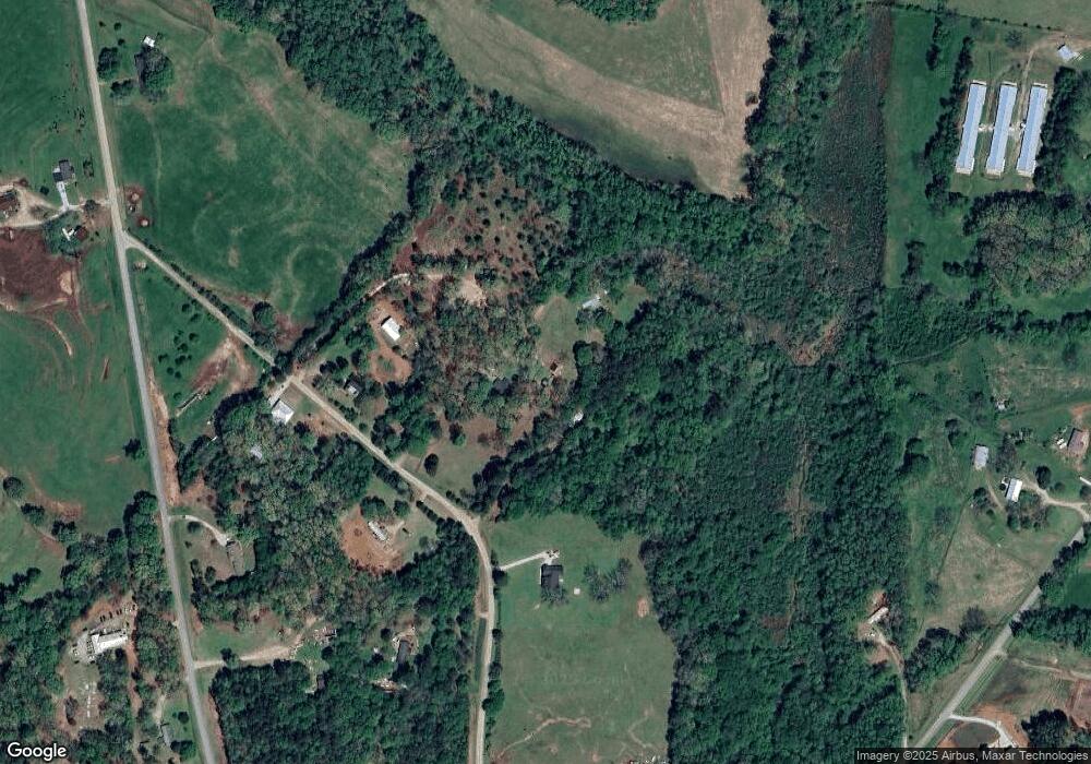
Map
Nearby Homes
- 829 River Fall Dr
- 410 Wilson Cemetery Rd
- 537 Forest Path
- 750 Staghorn Trail
- 303 River Mansion Dr
- 6587 Brockton Rd
- 331 River Mansion Dr
- 1136 Hoods Mill Rd
- 192 Plantation Crossing
- 268 Old Hoods Mill Rd
- 687 Hoods Academy Rd
- 301 Summit Heights Dr
- 698 Ivy Creek Dr
- 334 Summit Heights Dr
- Lot 6 Stewart Loop
- 151 Threatt Rd
- 0 Threatt Rd
- 283 Threatt Rd
- 218 Threatt Rd
- 132 Threatt Rd
- 4705 Waterworks Rd
- 5057 Waterworks Rd
- 1832 Cabin Creek Rd
- 4807 Waterworks Rd
- 432 Threatt Rd
- 2172 Cabin Creek Rd
- 1584 Cabin Creek Rd
- 1951 Cabin Creek Rd
- 5231 Waterworks Rd
- 0 Staghorn Trail Unit 5881225
- 0 Staghorn Trail Unit 8227245
- 0 Staghorn Trail Unit 172 8225900
- 0 Staghorn Trail Unit 163 7283551
- 0 Staghorn Trail Unit 163 7408623
- 0 Staghorn Trail Unit 172 7524196