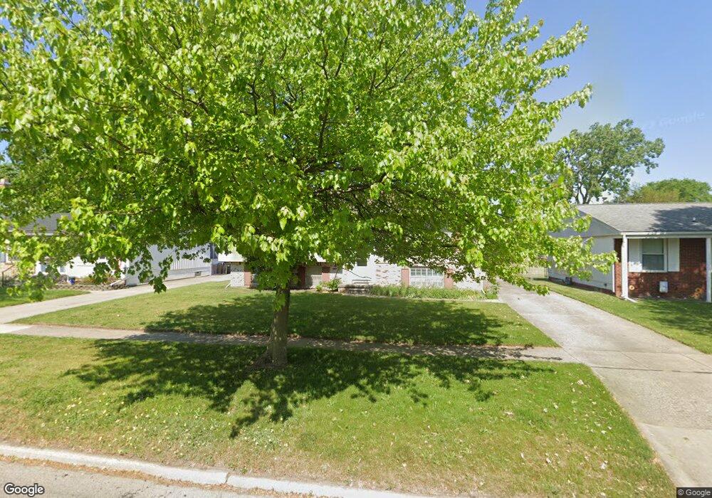
219 Toll St Monroe, MI 48162
Northwest Monroe NeighborhoodEstimated Value: $218,938 - $276,000
3
Beds
2
Baths
1,977
Sq Ft
$124/Sq Ft
Est. Value
About This Home
This home is located at 219 Toll St, Monroe, MI 48162 and is currently estimated at $244,985, approximately $123 per square foot. 219 Toll St is a home located in Monroe County with nearby schools including Monroe High School, St Mary's Catholic Elementary School, and Trinity Lutheran School.
Create a Home Valuation Report for This Property
The Home Valuation Report is an in-depth analysis detailing your home's value as well as a comparison with similar homes in the area
Home Values in the Area
Average Home Value in this Area
Tax History
| Year | Tax Paid | Tax Assessment Tax Assessment Total Assessment is a certain percentage of the fair market value that is determined by local assessors to be the total taxable value of land and additions on the property. | Land | Improvement |
|---|---|---|---|---|
| 2025 | $2,683 | $92,700 | $92,700 | $0 |
| 2024 | $2,561 | $86,050 | $0 | $0 |
| 2023 | $2,449 | $81,240 | $0 | $0 |
| 2022 | $3,262 | $81,240 | $0 | $0 |
| 2021 | $3,151 | $78,290 | $0 | $0 |
| 2020 | $2,935 | $77,190 | $0 | $0 |
| 2019 | $2,781 | $77,190 | $0 | $0 |
| 2018 | $2,702 | $75,500 | $0 | $0 |
| 2017 | $2,647 | $75,500 | $0 | $0 |
| 2016 | $2,583 | $73,610 | $0 | $0 |
| 2015 | $2,478 | $68,240 | $0 | $0 |
| 2014 | $2,478 | $68,240 | $0 | $0 |
| 2013 | -- | $66,340 | $0 | $0 |
Source: Public Records
Map
Nearby Homes
- 116 N Roessler St
- 445 Toll St
- 0 N Telegraph Rd Unit 31361948
- 0 N Telegraph Rd Unit 20230102531
- 0 N Telegraph Rd Unit 50199091
- 327 S Roessler St
- 718 W 4th St
- 309 Godfroy Ave
- 745 N Roessler St
- 704 N Telegraph Rd
- 511 John Rolfe Dr
- 625 W 5th St
- 800 N Roessler St
- 457 Donnalee Dr
- 546 Godfroy Ave
- 1703 S Custer Rd
- 1724 S Custer Rd
- 714 W 8th St
- 471 N Monroe St
- 641 Saint Marys Ave
Your Personal Tour Guide
Ask me questions while you tour the home.