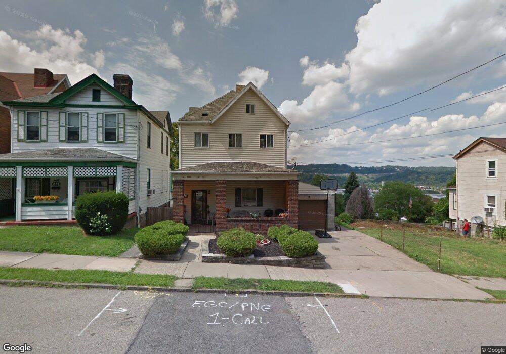
219 W 10th Ave Homestead, PA 15120
Estimated Value: $91,012 - $145,000
3
Beds
1
Bath
2,376
Sq Ft
$50/Sq Ft
Est. Value
About This Home
This home is located at 219 W 10th Ave, Homestead, PA 15120 and is currently estimated at $118,253, approximately $49 per square foot. 219 W 10th Ave is a home located in Allegheny County with nearby schools including Steel Valley Senior High School, Propel Schools - Homestead, and St. Therese School.
Ownership History
Date
Name
Owned For
Owner Type
Purchase Details
Closed on
Jun 28, 2002
Sold by
Martin Loretta
Bought by
Mcclendon Tiffany
Current Estimated Value
Purchase Details
Closed on
Jun 1, 2001
Sold by
Martin Jeffrey L and Martin Donna M
Bought by
Martin Loretta
Purchase Details
Closed on
Oct 6, 2000
Sold by
Ocwen Federal Bank Fsb
Bought by
Martin Jeffrey L
Purchase Details
Closed on
Jun 2, 2000
Sold by
Strobel Ronald F
Bought by
Ocwen Federal Bank Fsb
Purchase Details
Closed on
Aug 19, 1998
Sold by
Strobel Richard A and Strobel Dolores A
Bought by
Strobel Ronald F
Purchase Details
Closed on
Jan 1, 1900
Create a Home Valuation Report for This Property
The Home Valuation Report is an in-depth analysis detailing your home's value as well as a comparison with similar homes in the area
Home Values in the Area
Average Home Value in this Area
Purchase History
| Date | Buyer | Sale Price | Title Company |
|---|---|---|---|
| Mcclendon Tiffany | $65,000 | -- | |
| Martin Loretta | -- | -- | |
| Martin Jeffrey L | $29,000 | -- | |
| Ocwen Federal Bank Fsb | $1,705 | -- | |
| Strobel Ronald F | -- | -- | |
| -- | -- | -- |
Source: Public Records
Tax History Compared to Growth
Tax History
| Year | Tax Paid | Tax Assessment Tax Assessment Total Assessment is a certain percentage of the fair market value that is determined by local assessors to be the total taxable value of land and additions on the property. | Land | Improvement |
|---|---|---|---|---|
| 2025 | $1,356 | $32,900 | $4,700 | $28,200 |
| 2024 | $1,356 | $32,900 | $4,700 | $28,200 |
| 2023 | $1,299 | $32,900 | $4,700 | $28,200 |
| 2022 | $1,304 | $32,900 | $4,700 | $28,200 |
| 2021 | $156 | $32,900 | $4,700 | $28,200 |
| 2020 | $1,242 | $32,900 | $4,700 | $28,200 |
| 2019 | $1,218 | $32,900 | $4,700 | $28,200 |
| 2018 | $156 | $32,900 | $4,700 | $28,200 |
| 2017 | $1,169 | $32,900 | $4,700 | $28,200 |
| 2016 | $156 | $32,900 | $4,700 | $28,200 |
| 2015 | $156 | $32,900 | $4,700 | $28,200 |
| 2014 | $1,100 | $32,900 | $4,700 | $28,200 |
Source: Public Records
Map
Nearby Homes
- 225 W 10th Ave
- 315 W 12th Ave
- 402 W 8th Ave
- 407-409 W 8th Ave
- 206 W 13th Ave
- 200 E 8th Ave
- 473 New 8th Ave
- 215 E 9th Ave
- 108 Wood St
- 139 W 16th Ave
- 124 E 15th Ave
- 337 E 12th Ave
- 122 E 16th Ave
- 227 E 15th Ave
- 342 E 11th Ave
- 343 E 12th Ave
- 235 - 237 E 8th Ave
- 246 E 14th Ave
- 346 E 12th Ave
- 230 E 15th Ave