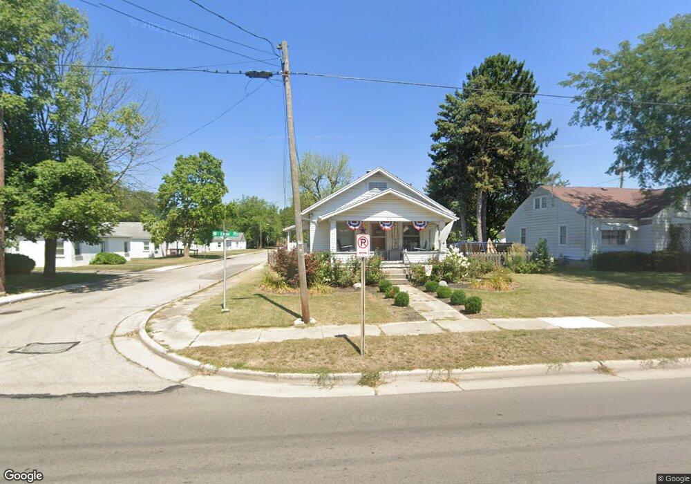
219 W Ervin Rd van Wert, OH 45891
Estimated Value: $118,000 - $209,000
3
Beds
2
Baths
1,300
Sq Ft
$120/Sq Ft
Est. Value
About This Home
This home is located at 219 W Ervin Rd, van Wert, OH 45891 and is currently estimated at $155,694, approximately $119 per square foot. 219 W Ervin Rd is a home located in Van Wert County with nearby schools including Van Wert Early Childhood Center, Van Wert High School, and Lifelinks Community School.
Ownership History
Date
Name
Owned For
Owner Type
Purchase Details
Closed on
Dec 23, 2021
Sold by
Cunningham Calib D
Bought by
Cunningham Calib D and Cunningham Kelsey
Current Estimated Value
Home Financials for this Owner
Home Financials are based on the most recent Mortgage that was taken out on this home.
Original Mortgage
$68,000
Outstanding Balance
$53,854
Interest Rate
3.12%
Mortgage Type
New Conventional
Estimated Equity
$101,840
Purchase Details
Closed on
Jan 14, 2001
Bought by
Cunningham Calib D
Create a Home Valuation Report for This Property
The Home Valuation Report is an in-depth analysis detailing your home's value as well as a comparison with similar homes in the area
Home Values in the Area
Average Home Value in this Area
Purchase History
| Date | Buyer | Sale Price | Title Company |
|---|---|---|---|
| Cunningham Calib D | -- | Butler Charles C | |
| Cunningham Calib D | -- | None Listed On Document | |
| Cunningham Calib D | $60,000 | -- |
Source: Public Records
Mortgage History
| Date | Status | Borrower | Loan Amount |
|---|---|---|---|
| Open | Cunningham Calib D | $68,000 | |
| Closed | Cunningham Calib D | $68,000 |
Source: Public Records
Tax History Compared to Growth
Tax History
| Year | Tax Paid | Tax Assessment Tax Assessment Total Assessment is a certain percentage of the fair market value that is determined by local assessors to be the total taxable value of land and additions on the property. | Land | Improvement |
|---|---|---|---|---|
| 2024 | $1,058 | $33,360 | $3,820 | $29,540 |
| 2023 | $1,132 | $33,360 | $3,820 | $29,540 |
| 2022 | $972 | $24,880 | $3,360 | $21,520 |
| 2021 | $947 | $24,880 | $3,360 | $21,520 |
| 2020 | $944 | $24,880 | $3,360 | $21,520 |
| 2019 | $901 | $23,380 | $3,360 | $20,020 |
| 2018 | $882 | $23,380 | $3,360 | $20,020 |
| 2017 | $881 | $23,380 | $3,360 | $20,020 |
| 2016 | $808 | $22,650 | $3,360 | $19,290 |
| 2015 | $496 | $22,650 | $3,360 | $19,290 |
| 2014 | $491 | $22,650 | $3,360 | $19,290 |
| 2013 | $529 | $22,650 | $3,360 | $19,290 |
Source: Public Records
Map
Nearby Homes
- 1026 Elm St
- 941 Elm St
- 138 Logan St
- 1120 Park St
- 133 Balyeat Ave
- 1060 1056 S Washington St
- 960 Glenn St
- 627 S Walnut St
- 522 South Ave
- 142 E Raymond St
- 510 Euclid Ave
- 736 Leeson Ave
- 529 S Tyler St
- 515 S Race St
- 1008 Maplewood Dr
- 729 George St
- 706 Woodland Ave
- 202 N Jefferson St
- 214 N Jefferson St
- 1006 Hughes St