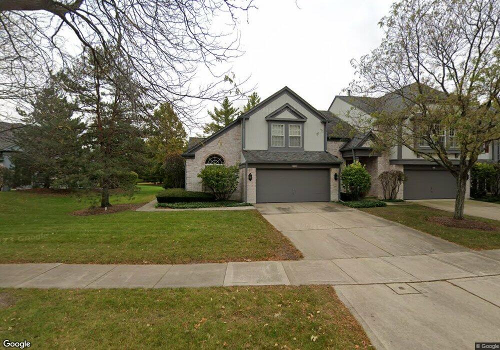
219 W Fox Hill Dr Buffalo Grove, IL 60089
Estimated Value: $447,906 - $526,000
--
Bed
3
Baths
1,994
Sq Ft
$247/Sq Ft
Est. Value
About This Home
This home is located at 219 W Fox Hill Dr, Buffalo Grove, IL 60089 and is currently estimated at $492,727, approximately $247 per square foot. 219 W Fox Hill Dr is a home located in Lake County with nearby schools including Meridian Middle School, Tripp Elementary School, and Aptakisic Junior High School.
Ownership History
Date
Name
Owned For
Owner Type
Purchase Details
Closed on
Feb 3, 2016
Sold by
Lipka Marcia E and Lipka Robert
Bought by
Lipka Marcia E and The Marcia E Lipka Trust
Current Estimated Value
Purchase Details
Closed on
Jul 23, 2015
Sold by
Lipka Marcia E
Bought by
Lipka Marcia E and Lipka Robert
Purchase Details
Closed on
Jun 19, 2001
Sold by
Lasalle Bank National Assn
Bought by
Lipka Marcia E
Create a Home Valuation Report for This Property
The Home Valuation Report is an in-depth analysis detailing your home's value as well as a comparison with similar homes in the area
Home Values in the Area
Average Home Value in this Area
Purchase History
| Date | Buyer | Sale Price | Title Company |
|---|---|---|---|
| Lipka Marcia E | -- | Attorney | |
| Lipka Marcia E | -- | None Available | |
| Lipka Marcia E | -- | -- |
Source: Public Records
Tax History Compared to Growth
Tax History
| Year | Tax Paid | Tax Assessment Tax Assessment Total Assessment is a certain percentage of the fair market value that is determined by local assessors to be the total taxable value of land and additions on the property. | Land | Improvement |
|---|---|---|---|---|
| 2024 | $6,643 | $125,109 | $34,943 | $90,166 |
| 2023 | $6,889 | $118,049 | $32,971 | $85,078 |
| 2022 | $6,889 | $114,165 | $31,886 | $82,279 |
| 2021 | $6,679 | $125,356 | $34,755 | $90,601 |
| 2020 | $6,497 | $125,784 | $34,874 | $90,910 |
| 2019 | $6,332 | $125,320 | $34,745 | $90,575 |
| 2018 | $6,482 | $113,969 | $37,781 | $76,188 |
| 2017 | $6,459 | $111,309 | $36,899 | $74,410 |
| 2016 | $6,593 | $106,587 | $35,334 | $71,253 |
| 2015 | $6,901 | $99,679 | $33,044 | $66,635 |
| 2014 | $6,952 | $104,017 | $35,489 | $68,528 |
| 2012 | $6,559 | $104,225 | $35,560 | $68,665 |
Source: Public Records
Map
Nearby Homes
- 720 Dunhill Dr
- 603 Cherbourg Ct N
- 625 Marseilles Cir
- 938 Hidden Lake Dr
- 51 W Fabish Dr
- 711 Woodhollow Ln
- 12 Aberdeen Ct
- 1113 Lockwood Dr
- 1012 Hobson Dr
- 412 Chateau Dr
- 610 Checker Dr
- 1118 Larraway Dr
- 871 Shady Grove Ln
- 1272 Sandhurst Dr
- 620 Cobblestone Ln
- 60 E Fabish Dr
- 931 Shady Grove Ln
- 148 White Branch Ct
- 15 Thompson Ct
- 455 Thorndale Dr
- 221 W Fox Hill Dr
- 213 W Fox Hill Dr Unit 2
- 553 Hawthorne Rd
- 211 W Fox Hill Dr
- 223 W Fox Hill Dr
- 209 W Fox Hill Dr
- 733 Alsace Ct
- 747 Alsace Cir
- 735 Alsace Ct
- 731 Alsace Ct
- 220 W Fox Hill Dr
- 218 W Fox Hill Dr
- 222 W Fox Hill Dr
- 745 Alsace Cir
- 207 W Fox Hill Dr
- 212 W Fox Hill Dr
- 224 W Fox Hill Dr
- 210 W Fox Hill Dr
- 208 W Fox Hill Dr
- 743 Alsace Cir