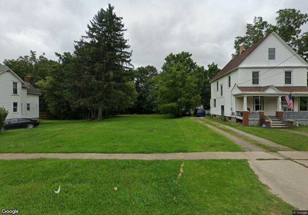
219 W River Rd N Elyria, OH 44035
Estimated Value: $122,000 - $358,000
3
Beds
1
Bath
1,112
Sq Ft
$192/Sq Ft
Est. Value
About This Home
This home is located at 219 W River Rd N, Elyria, OH 44035 and is currently estimated at $213,667, approximately $192 per square foot. 219 W River Rd N is a home located in Lorain County with nearby schools including Eastern Heights Middle School, Elyria High School, and St Mary Elementary School.
Ownership History
Date
Name
Owned For
Owner Type
Purchase Details
Closed on
Feb 24, 2021
Sold by
Lorain County Land Reutilization Corp
Bought by
Alheir Jon E
Current Estimated Value
Purchase Details
Closed on
May 13, 2004
Sold by
Brown Roland and Brown Mary
Bought by
Brown Mary
Purchase Details
Closed on
Feb 20, 2004
Sold by
Riffle Gala M and Riffle John W
Bought by
Brown Roland and Brown Mary
Home Financials for this Owner
Home Financials are based on the most recent Mortgage that was taken out on this home.
Original Mortgage
$56,800
Interest Rate
7.5%
Mortgage Type
Purchase Money Mortgage
Create a Home Valuation Report for This Property
The Home Valuation Report is an in-depth analysis detailing your home's value as well as a comparison with similar homes in the area
Home Values in the Area
Average Home Value in this Area
Purchase History
| Date | Buyer | Sale Price | Title Company |
|---|---|---|---|
| Alheir Jon E | -- | None Available | |
| Brown Mary | -- | 1St Nationwide Title Agency | |
| Brown Roland | $71,000 | 1St Nationwide Title Agency |
Source: Public Records
Mortgage History
| Date | Status | Borrower | Loan Amount |
|---|---|---|---|
| Previous Owner | Brown Roland | $56,800 | |
| Closed | Brown Roland | $14,200 |
Source: Public Records
Tax History Compared to Growth
Tax History
| Year | Tax Paid | Tax Assessment Tax Assessment Total Assessment is a certain percentage of the fair market value that is determined by local assessors to be the total taxable value of land and additions on the property. | Land | Improvement |
|---|---|---|---|---|
| 2024 | $135 | $2,779 | $2,779 | -- |
| 2023 | $124 | $2,219 | $2,219 | $0 |
| 2022 | $124 | $2,219 | $2,219 | $0 |
| 2021 | $0 | $2,219 | $2,219 | $0 |
| 2020 | $0 | $1,900 | $1,900 | $0 |
| 2019 | $0 | $1,900 | $1,900 | $0 |
| 2018 | $0 | $1,900 | $1,900 | $0 |
| 2017 | $146 | $2,330 | $2,330 | $0 |
| 2016 | $145 | $2,330 | $2,330 | $0 |
| 2015 | $141 | $2,330 | $2,330 | $0 |
| 2014 | $146 | $2,330 | $2,330 | $0 |
| 2013 | $546 | $2,330 | $2,330 | $0 |
Source: Public Records
Map
Nearby Homes
- 215 W River Rd N
- 223 W River Rd N
- 227 W River Rd N
- 210 W River Rd N
- 229 W River Rd N
- 212 W River Rd N
- 216 W River Rd N
- 216 West River
- 208 W River Rd N
- 220 W River Rd N
- 231 W River Rd N
- 235 W River Rd N
- 224 W River Rd N
- 235 N West River Rd N
- 230 W River Rd N
- 237 West River N
- 6174 Gateway Blvd S
- 122 W River Rd N
- 122 W River Rd N Unit 1
- 237 W River Rd N