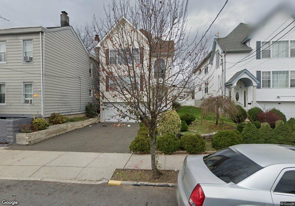
219 Walnut St Paterson, NJ 07522
Totowa Section NeighborhoodEstimated Value: $627,000 - $710,000
6
Beds
3
Baths
2,400
Sq Ft
$283/Sq Ft
Est. Value
About This Home
This home is located at 219 Walnut St, Paterson, NJ 07522 and is currently estimated at $679,041, approximately $282 per square foot. 219 Walnut St is a home located in Passaic County with nearby schools including Dale Avenue Elementary School, Edward W. Kilpatrick School of Discovery, and Paterson Public School No. 5.
Ownership History
Date
Name
Owned For
Owner Type
Purchase Details
Closed on
Jun 20, 2006
Sold by
D&G Development Inc
Bought by
Tavarez Pablo
Current Estimated Value
Home Financials for this Owner
Home Financials are based on the most recent Mortgage that was taken out on this home.
Original Mortgage
$422,750
Outstanding Balance
$248,682
Interest Rate
6.58%
Mortgage Type
New Conventional
Estimated Equity
$430,360
Create a Home Valuation Report for This Property
The Home Valuation Report is an in-depth analysis detailing your home's value as well as a comparison with similar homes in the area
Home Values in the Area
Average Home Value in this Area
Purchase History
| Date | Buyer | Sale Price | Title Company |
|---|---|---|---|
| Tavarez Pablo | $445,000 | -- |
Source: Public Records
Mortgage History
| Date | Status | Borrower | Loan Amount |
|---|---|---|---|
| Open | Tavarez Pablo | $422,750 |
Source: Public Records
Tax History
| Year | Tax Paid | Tax Assessment Tax Assessment Total Assessment is a certain percentage of the fair market value that is determined by local assessors to be the total taxable value of land and additions on the property. | Land | Improvement |
|---|---|---|---|---|
| 2025 | $14,281 | $280,300 | $45,300 | $235,000 |
| 2024 | $13,743 | $280,300 | $45,300 | $235,000 |
Source: Public Records
Map
Nearby Homes
- 183 Walnut St
- 11 Sheridan Ave
- 51 Ryle Ave
- 41-43 Paterson Ave
- 288 Totowa Ave
- 38-40 Redwood Ave Unit 4
- 38-40 Redwood Ave
- 63 Front St
- 76-78 Jasper St
- 94 Manchester Ave
- 34 James St
- 105 Marion St Unit 18
- 111 Marion St Unit 18
- 112 Sheridan Ave
- 19 Market St Unit 205
- 19 Market St Unit 405
- 18 Market St Unit 301
- 262 Union Ave
- 110-PT112 Redwood Ave
- 105-107 Coral St
- 227 Walnut St
- 215 Walnut St
- 213 Walnut St
- 242 Liberty St
- 240 Liberty St
- 238 Liberty St
- 244 Liberty St Unit 246
- 236 Liberty St
- 223 Walnut St
- 229 Walnut St Unit 233
- 209-211 Walnut St
- 232 Liberty St Unit 234
- 232-234 Liberty St
- 233-235 Walnut St
- 233 Walnut St
- 248 Liberty St Unit 250
- 250 Liberty St Unit 252
- 214 Walnut St
- 209 Walnut St Unit 211
- 212 Walnut St
Your Personal Tour Guide
Ask me questions while you tour the home.