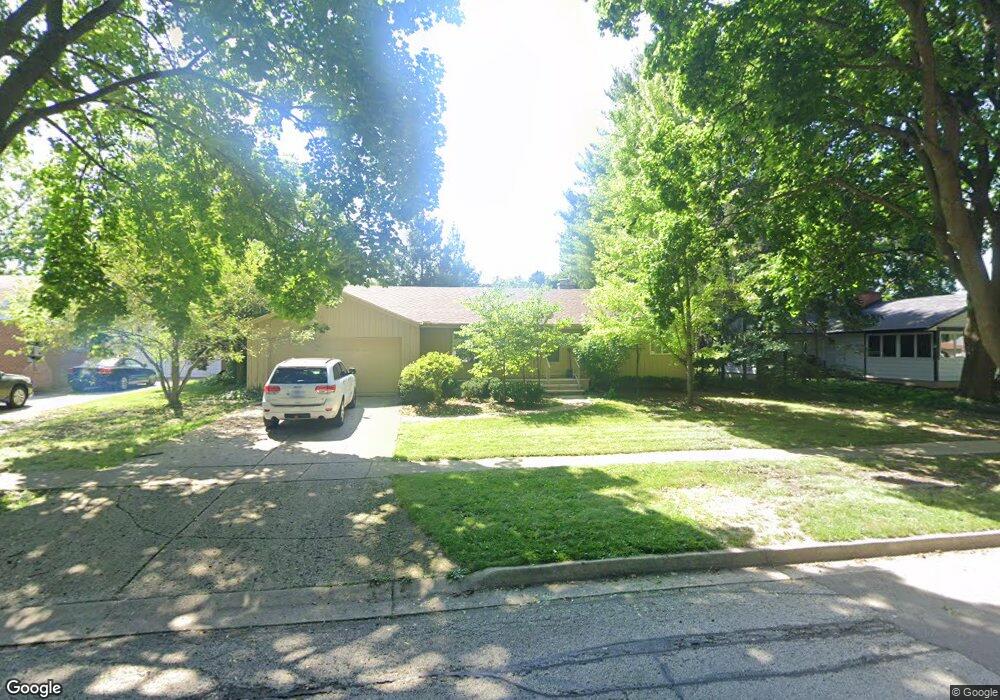
219 Woodland Rd Libertyville, IL 60048
North Mundelein NeighborhoodEstimated Value: $403,000 - $536,000
--
Bed
1
Bath
1,624
Sq Ft
$270/Sq Ft
Est. Value
About This Home
This home is located at 219 Woodland Rd, Libertyville, IL 60048 and is currently estimated at $439,072, approximately $270 per square foot. 219 Woodland Rd is a home located in Lake County with nearby schools including Butterfield School, Highland Middle School, and Libertyville High School.
Ownership History
Date
Name
Owned For
Owner Type
Purchase Details
Closed on
Mar 7, 2008
Sold by
Nicholas Earl H and Nicholas Revocable T Shirley T
Bought by
Decl Nicholas Earl H and Decl Earl H Nicholas Revocable
Current Estimated Value
Purchase Details
Closed on
Jan 22, 2004
Sold by
Nicholas Shirley T
Bought by
Nicholas Shirley T and Nicholas Revocable D Shirley T
Purchase Details
Closed on
Jan 30, 1996
Sold by
Nicholas Warren A and Nicholas Shirley T
Bought by
Nicholas Warren A and Nicholas Shirley T
Create a Home Valuation Report for This Property
The Home Valuation Report is an in-depth analysis detailing your home's value as well as a comparison with similar homes in the area
Home Values in the Area
Average Home Value in this Area
Purchase History
| Date | Buyer | Sale Price | Title Company |
|---|---|---|---|
| Decl Nicholas Earl H | -- | None Available | |
| Nicholas Shirley T | -- | -- | |
| Nicholas Warren A | -- | -- |
Source: Public Records
Tax History Compared to Growth
Tax History
| Year | Tax Paid | Tax Assessment Tax Assessment Total Assessment is a certain percentage of the fair market value that is determined by local assessors to be the total taxable value of land and additions on the property. | Land | Improvement |
|---|---|---|---|---|
| 2024 | $7,620 | $124,733 | $33,055 | $91,678 |
| 2023 | $7,791 | $110,621 | $29,315 | $81,306 |
| 2022 | $7,791 | $108,415 | $28,178 | $80,237 |
| 2021 | $7,488 | $106,081 | $27,571 | $78,510 |
| 2020 | $7,197 | $104,297 | $27,107 | $77,190 |
| 2019 | $7,020 | $103,305 | $26,849 | $76,456 |
| 2018 | $6,031 | $93,228 | $31,542 | $61,686 |
| 2017 | $5,937 | $90,285 | $30,546 | $59,739 |
| 2016 | $5,709 | $85,603 | $28,962 | $56,641 |
| 2015 | $5,615 | $80,010 | $27,070 | $52,940 |
| 2014 | $5,474 | $76,817 | $26,707 | $50,110 |
| 2012 | $5,204 | $77,484 | $26,939 | $50,545 |
Source: Public Records
Map
Nearby Homes
- 223 Kenloch Ave
- 1330 W Park Ave
- 20924 & 20902 W Park Ave
- 1137 Pine Tree Ln
- 533 Drake St
- 832 Interlaken Ln
- 551 W Park Ave Unit E
- 423 Ames St
- 0 Ames St
- 847 Mckinley Ave
- 420 W Cook Ave
- 505 Lange Ct
- 308 Mckinley Ave
- 659 E Maple Ave
- 212 Elm Ct
- 422 James Ave
- 328 Brice Ave
- 777 Garfield Ave Unit A
- 2245 Hazeltime Dr
- 747 Garfield Ave Unit C
- 211 Woodland Rd
- 227 Woodland Rd
- 207 Woodland Rd
- 237 Woodland Rd
- 203 Woodland Rd
- 214 Woodland Rd
- 222 Woodland Rd
- 212 Woodland Rd
- 230 Woodland Rd
- 204 Woodland Rd
- 163 Woodland Rd
- 238 Woodland Rd
- 245 Woodland Rd
- 219 Kenloch Ave
- 213 Kenloch Ave
- 1325 Willow Ave
- 209 Kenloch Ave
- 244 Woodland Rd
- 227 Kenloch Ave
- 205 Kenloch Ave