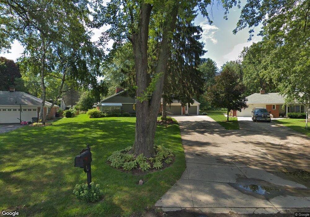
2190 Lancaster Rd Bloomfield Hills, MI 48302
Estimated Value: $361,000 - $416,000
3
Beds
1
Bath
1,492
Sq Ft
$253/Sq Ft
Est. Value
About This Home
This home is located at 2190 Lancaster Rd, Bloomfield Hills, MI 48302 and is currently estimated at $378,010, approximately $253 per square foot. 2190 Lancaster Rd is a home located in Oakland County with nearby schools including Eastover Elementary School, Bloomfield Hills High School, and Arts & Technology Academy of Pontiac.
Ownership History
Date
Name
Owned For
Owner Type
Purchase Details
Closed on
Nov 19, 2024
Sold by
Moeller Frederick J and Moeller Elizabeth A
Bought by
Moeller Frederick J and Moeller Robert F
Current Estimated Value
Purchase Details
Closed on
Oct 6, 1994
Sold by
Roabaugh Helen
Bought by
Moeller Frederick J and Moeller Elizabeth A
Home Financials for this Owner
Home Financials are based on the most recent Mortgage that was taken out on this home.
Original Mortgage
$88,000
Interest Rate
8.86%
Mortgage Type
New Conventional
Create a Home Valuation Report for This Property
The Home Valuation Report is an in-depth analysis detailing your home's value as well as a comparison with similar homes in the area
Home Values in the Area
Average Home Value in this Area
Purchase History
| Date | Buyer | Sale Price | Title Company |
|---|---|---|---|
| Moeller Frederick J | -- | None Listed On Document | |
| Moeller Frederick J | $116,000 | -- |
Source: Public Records
Mortgage History
| Date | Status | Borrower | Loan Amount |
|---|---|---|---|
| Previous Owner | Moeller Frederick J | $88,000 |
Source: Public Records
Tax History Compared to Growth
Tax History
| Year | Tax Paid | Tax Assessment Tax Assessment Total Assessment is a certain percentage of the fair market value that is determined by local assessors to be the total taxable value of land and additions on the property. | Land | Improvement |
|---|---|---|---|---|
| 2024 | $1,413 | $170,680 | $0 | $0 |
| 2023 | $1,367 | $153,710 | $0 | $0 |
| 2022 | $2,569 | $136,380 | $0 | $0 |
| 2021 | $2,551 | $131,350 | $0 | $0 |
| 2020 | $1,250 | $124,430 | $0 | $0 |
| 2019 | $2,400 | $113,460 | $0 | $0 |
| 2018 | $2,411 | $104,600 | $0 | $0 |
| 2017 | $2,181 | $95,620 | $0 | $0 |
| 2016 | $2,163 | $88,540 | $0 | $0 |
| 2015 | -- | $80,920 | $0 | $0 |
| 2014 | -- | $65,630 | $0 | $0 |
| 2011 | -- | $53,220 | $0 | $0 |
Source: Public Records
Map
Nearby Homes
- 95 Hillsdale Rd
- 00 S Berkshire
- 2449 Mulberry Square Unit 31
- 2383 Mulberry Square Unit 72
- 2449 Mulberry Square Unit 28
- 2442 Mulberry Square Unit 36
- 2665 Lahser Rd
- 136 Belroi Place
- 240 Applewood Ln
- 42160 Woodward Ave Unit 8
- 42160 Woodward Ave
- 200 Astorwood St
- 363 Sycamore Ct
- 454 N Fox Hills Dr Unit A-8
- 2625 Plum Brook Dr
- 480 Fox Hills Dr N Unit 6
- 433 Fox Hills Dr S Unit 5
- 448 Fox Hills Dr S Unit 3
- 1987 Hunters Ridge Dr
- 2724 Alveston Dr
- 2180 Lancaster Rd
- 2200 Lancaster Rd
- 2107 Devonshire Rd
- 2089 Devonshire Rd
- 2123 Devonshire Rd
- 2067 Devonshire Rd
- 2017 Devonshire Rd
- 2035 Devonshire Rd
- 2170 Lancaster Rd
- 2139 Devonshire Rd
- 2199 Lancaster Rd
- 2160 Lancaster Rd
- 1979 Devonshire Rd
- 2220 Lancaster Rd
- 2175 Lancaster Rd
- 2155 Devonshire Rd
- 0 Lancaster Rd
- 2211 Lancaster Rd
- 2124 Devonshire Rd
- 2150 Lancaster Rd