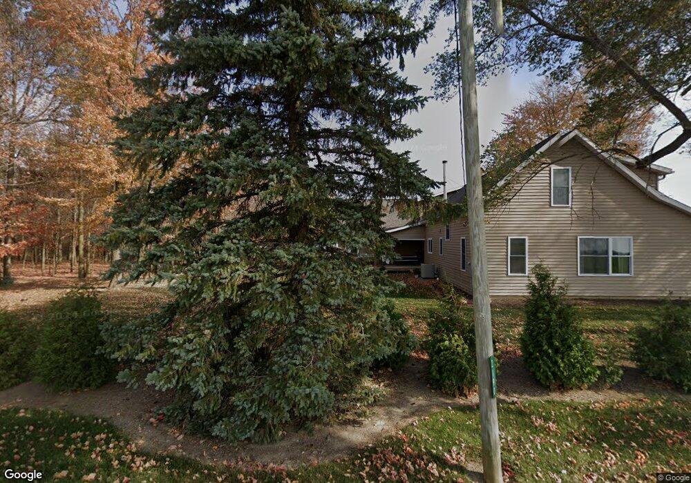
2190 Mcbride Rd Delphos, OH 45833
Estimated Value: $141,000 - $247,025
3
Beds
3
Baths
1,939
Sq Ft
$106/Sq Ft
Est. Value
About This Home
This home is located at 2190 Mcbride Rd, Delphos, OH 45833 and is currently estimated at $204,756, approximately $105 per square foot. 2190 Mcbride Rd is a home located in Allen County with nearby schools including Elida Elementary School, Elida Middle School, and Elida High School.
Ownership History
Date
Name
Owned For
Owner Type
Purchase Details
Closed on
Jun 12, 2017
Sold by
Bear Country Enterprise Llc
Bought by
Layman Travis J and Layman Megan L
Current Estimated Value
Purchase Details
Closed on
Jun 25, 2014
Sold by
Bear Nathan
Bought by
Bear Country Enterprises Llc
Purchase Details
Closed on
Jul 27, 2006
Sold by
Bear Stanley J and Bear Willis E
Bought by
Bear Nathan
Home Financials for this Owner
Home Financials are based on the most recent Mortgage that was taken out on this home.
Original Mortgage
$50,000
Interest Rate
6.7%
Mortgage Type
Unknown
Create a Home Valuation Report for This Property
The Home Valuation Report is an in-depth analysis detailing your home's value as well as a comparison with similar homes in the area
Home Values in the Area
Average Home Value in this Area
Purchase History
| Date | Buyer | Sale Price | Title Company |
|---|---|---|---|
| Layman Travis J | $85,000 | None Available | |
| Bear Country Enterprises Llc | $75,000 | None Available | |
| Bear Nathan | $55,000 | None Available |
Source: Public Records
Mortgage History
| Date | Status | Borrower | Loan Amount |
|---|---|---|---|
| Previous Owner | Bear Nathan | $50,000 |
Source: Public Records
Tax History Compared to Growth
Tax History
| Year | Tax Paid | Tax Assessment Tax Assessment Total Assessment is a certain percentage of the fair market value that is determined by local assessors to be the total taxable value of land and additions on the property. | Land | Improvement |
|---|---|---|---|---|
| 2024 | $2,362 | $59,680 | $16,030 | $43,650 |
| 2023 | $2,000 | $45,890 | $12,320 | $33,570 |
| 2022 | $2,047 | $45,890 | $12,320 | $33,570 |
| 2021 | $2,058 | $45,890 | $12,320 | $33,570 |
| 2020 | $2,200 | $46,590 | $11,550 | $35,040 |
| 2019 | $2,200 | $46,170 | $11,130 | $35,040 |
| 2018 | $1,476 | $30,730 | $11,130 | $19,600 |
| 2017 | $1,302 | $28,640 | $10,820 | $17,820 |
| 2016 | $1,302 | $28,640 | $10,820 | $17,820 |
| 2015 | $1,311 | $28,530 | $10,820 | $17,710 |
| 2014 | $1,311 | $27,550 | $9,490 | $18,060 |
| 2013 | $1,271 | $27,550 | $9,490 | $18,060 |
Source: Public Records
Map
Nearby Homes
- 1784 Woodberry Creek Dr
- 1734 Woodberry Creek Dr
- 5825 Poling Rd
- 3838 Kemp Rd N
- 6726 Elida Rd
- 5280 Lobo St
- 2733 Lilly Dr
- 2922 Dutch Hollow Rd
- 5126 Pheasant St
- 5103 Hummingbird St
- 213 Johns Ave
- 4917 Pheasant St
- 4901 Hummingbird St
- 2048 Morning Glory Dr
- 7180 W State Rd
- 4723 Amaryllis St
- 1069 S Kemp Rd
- 4540 East Rd
- 5550 Hartman Rd
- 200 Fraunfelter Rd S
- 2255 Mcbride Rd
- 2332 Mcbride Rd
- 2400 Mcbride Rd
- 7999 Davidson Rd
- XXXX Mcbride Rd
- 7777 Zion Church Rd
- 7998 Davidson Rd
- 7900 Davidson Rd
- 7805 Davidson Rd
- 2550 Mcbride Rd
- 0000 Grubb Zion Church Rd
- 7810 Davidson Rd
- 2581 Mcbride Rd
- 2610 Mcbride Rd
- 8360 Zion Church Rd
- 2626 Mcbride Rd
- 2637 Mcbride Rd
- 7635 Zion Church Rd
- 2665 Mcbride Rd