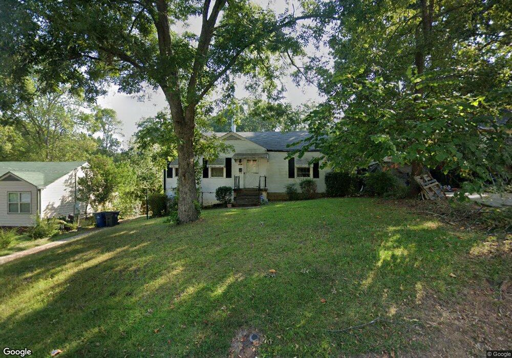
2190 Pinehurst Dr Atlanta, GA 30344
DeLowe-Connally NeighborhoodEstimated Value: $157,000 - $216,000
2
Beds
1
Bath
1,062
Sq Ft
$179/Sq Ft
Est. Value
About This Home
This home is located at 2190 Pinehurst Dr, Atlanta, GA 30344 and is currently estimated at $190,031, approximately $178 per square foot. 2190 Pinehurst Dr is a home located in Fulton County with nearby schools including Hamilton E. Holmes Elementary School, Paul D. West Middle School, and Tri-Cities High School.
Ownership History
Date
Name
Owned For
Owner Type
Purchase Details
Closed on
Jul 6, 2004
Sold by
Mangham Lilla B
Bought by
Mangham Lilla B and Mangham Carla
Current Estimated Value
Purchase Details
Closed on
Apr 11, 2003
Sold by
Mangham Lilla B
Bought by
On Ramp Dev Inc
Purchase Details
Closed on
Sep 24, 1999
Sold by
Evans Kenneth I and Evans Jacqueline B
Bought by
Mangham Lilla B
Home Financials for this Owner
Home Financials are based on the most recent Mortgage that was taken out on this home.
Original Mortgage
$54,550
Interest Rate
7.85%
Mortgage Type
FHA
Create a Home Valuation Report for This Property
The Home Valuation Report is an in-depth analysis detailing your home's value as well as a comparison with similar homes in the area
Home Values in the Area
Average Home Value in this Area
Purchase History
| Date | Buyer | Sale Price | Title Company |
|---|---|---|---|
| Mangham Lilla B | -- | -- | |
| On Ramp Dev Inc | $40,000 | -- | |
| Mangham Lilla B | $54,900 | -- |
Source: Public Records
Mortgage History
| Date | Status | Borrower | Loan Amount |
|---|---|---|---|
| Previous Owner | Mangham Lilla B | $54,550 |
Source: Public Records
Tax History
| Year | Tax Paid | Tax Assessment Tax Assessment Total Assessment is a certain percentage of the fair market value that is determined by local assessors to be the total taxable value of land and additions on the property. | Land | Improvement |
|---|---|---|---|---|
| 2025 | $937 | $72,040 | $26,240 | $45,800 |
| 2023 | $2,202 | $78,000 | $45,240 | $32,760 |
| 2022 | $3 | $69,160 | $33,640 | $35,520 |
| 2021 | $503 | $35,200 | $9,880 | $25,320 |
| 2020 | $449 | $30,640 | $8,440 | $22,200 |
| 2019 | $439 | $30,120 | $8,280 | $21,840 |
| 2018 | $3 | $21,640 | $5,120 | $16,520 |
| 2017 | $0 | $10,360 | $4,000 | $6,360 |
| 2016 | $0 | $10,360 | $4,000 | $6,360 |
| 2015 | $186 | $10,360 | $4,000 | $6,360 |
| 2014 | $163 | $9,120 | $4,040 | $5,080 |
Source: Public Records
Map
Nearby Homes
- 2213 Westover Dr
- 2019 Connally Dr
- 2153 Pinehurst Dr
- 2190 Westover Dr
- 2146 Pinehurst Dr
- 2132 Penrose Dr
- 2259 Fernwood Dr
- 2254 Fernwood Dr
- 1891 Connally Dr
- 2181 Delowe Dr
- 2169 Delowe Dr
- 2357 Lumpkin St
- 2370 Lumpkin St
- 2177 Connally Dr
- 2364 Farley St
- 0 Lumpkin St Unit 10683890
- 0 Lumpkin St Unit 7629466
- 0 Lumpkin St Unit 10581058
- 0 Lumpkin St Unit 7727201
- 0 Lumpkin St Unit 7712669
- 2184 Pinehurst Dr
- 2196 Pinehurst Dr
- 2204 Pinehurst Dr
- 2176 Pinehurst Dr
- 2210 Pinehurst Dr
- 2197 Westover Dr
- 2191 Pinehurst Dr
- 2191 Westover Dr
- 2197 Pinehurst Dr
- 2185 Pinehurst Dr
- 2164 Pinehurst Dr
- 2205 Westover Dr
- 2205 Pinehurst Dr
- 2177 Pinehurst Dr
- 2218 Pinehurst Dr
- 2211 Pinehurst Dr
- 2183 Westover Dr
- 2158 Pinehurst Dr
- 2224 Pinehurst Dr
- 2224 Pinehurst Dr Unit Acres
Your Personal Tour Guide
Ask me questions while you tour the home.