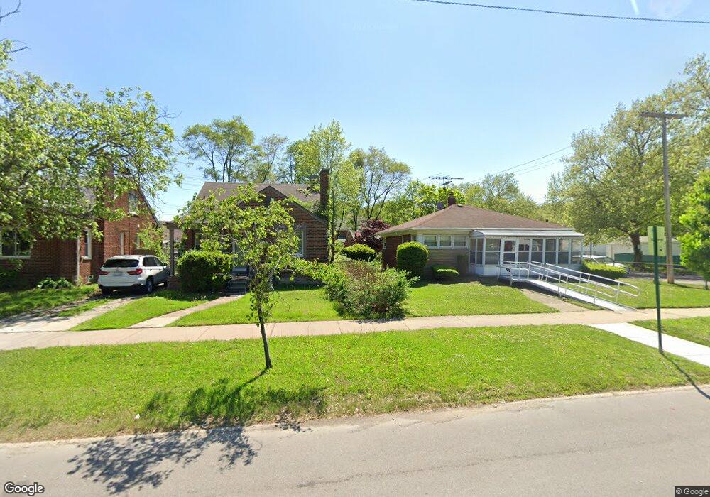
21900 Moross Rd Grosse Pointe, MI 48236
Cornerstone Village NeighborhoodEstimated Value: $88,014 - $133,000
Studio
1
Bath
961
Sq Ft
$122/Sq Ft
Est. Value
About This Home
This home is located at 21900 Moross Rd, Grosse Pointe, MI 48236 and is currently estimated at $117,254, approximately $122 per square foot. 21900 Moross Rd is a home located in Wayne County with nearby schools including Marquette Elementary-Middle School, Edward 'Duke' Ellington Conservatory of Music and Art, and Charles L. Spain Elementary-Middle School.
Ownership History
Date
Name
Owned For
Owner Type
Purchase Details
Closed on
May 16, 2013
Sold by
Mccuish James S and Mc Cuish Suzanne B
Bought by
Mccuish James S and Mccuish Suzanne B
Current Estimated Value
Home Financials for this Owner
Home Financials are based on the most recent Mortgage that was taken out on this home.
Original Mortgage
$58,950
Interest Rate
3.38%
Mortgage Type
New Conventional
Create a Home Valuation Report for This Property
The Home Valuation Report is an in-depth analysis detailing your home's value as well as a comparison with similar homes in the area
Home Values in the Area
Average Home Value in this Area
Purchase History
| Date | Buyer | Sale Price | Title Company |
|---|---|---|---|
| Mccuish James S | -- | None Available |
Source: Public Records
Mortgage History
| Date | Status | Borrower | Loan Amount |
|---|---|---|---|
| Closed | Mccuish James S | $58,950 |
Source: Public Records
Tax History
| Year | Tax Paid | Tax Assessment Tax Assessment Total Assessment is a certain percentage of the fair market value that is determined by local assessors to be the total taxable value of land and additions on the property. | Land | Improvement |
|---|---|---|---|---|
| 2025 | $1,376 | $42,800 | $0 | $0 |
| 2024 | $1,357 | $36,900 | $0 | $0 |
| 2023 | $1,318 | $27,500 | $0 | $0 |
| 2022 | $1,405 | $23,400 | $0 | $0 |
| 2021 | $1,367 | $18,400 | $0 | $0 |
| 2020 | $1,366 | $16,500 | $0 | $0 |
| 2019 | $1,345 | $14,200 | $0 | $0 |
| 2018 | $1,179 | $12,200 | $0 | $0 |
| 2017 | $237 | $12,500 | $0 | $0 |
| 2016 | $1,539 | $17,200 | $0 | $0 |
| 2015 | $1,720 | $17,200 | $0 | $0 |
| 2013 | $2,457 | $24,571 | $0 | $0 |
| 2010 | -- | $36,023 | $1,288 | $34,735 |
Source: Public Records
Map
Nearby Homes
- 21820 Moross Rd
- 21806 Moross Rd
- 21800 Moross Rd
- 21756 Moross Rd
- 21718 Moross Rd
- 19217 Linville St
- 5228 Hillcrest St
- 5514 Ashley St
- 5231 Lannoo St
- 19299 Raymond St
- 19196 Berden St
- 18904 Mallina St
- 19134 Mallina St
- 6144 Radnor St
- 5951 Radnor St
- 5056 Lafontaine St
- 5754 Farmbrook St
- 21602 Newcastle Rd
- 5007 Ashley St
- 6300 Radnor St
- 21916 Moross Rd
- 21922 Moross Rd
- 21828 Moross Rd
- 5716 Hillcrest St
- 5708 Hillcrest St Unit Bldg-Unit
- 5708 Hillcrest St
- 21930 Moross Rd
- 5700 Hillcrest St
- 5900 Hillcrest St
- 21814 Moross Rd
- 21938 Moross Rd
- 5690 Hillcrest St
- 5684 Hillcrest St
- 21946 Moross Rd
- 5678 Hillcrest St
- 5920 Hillcrest St
- 21802 Moross Rd
- 21954 Moross Rd
- 5670 Hillcrest St
- 5928 Hillcrest St
Your Personal Tour Guide
Ask me questions while you tour the home.