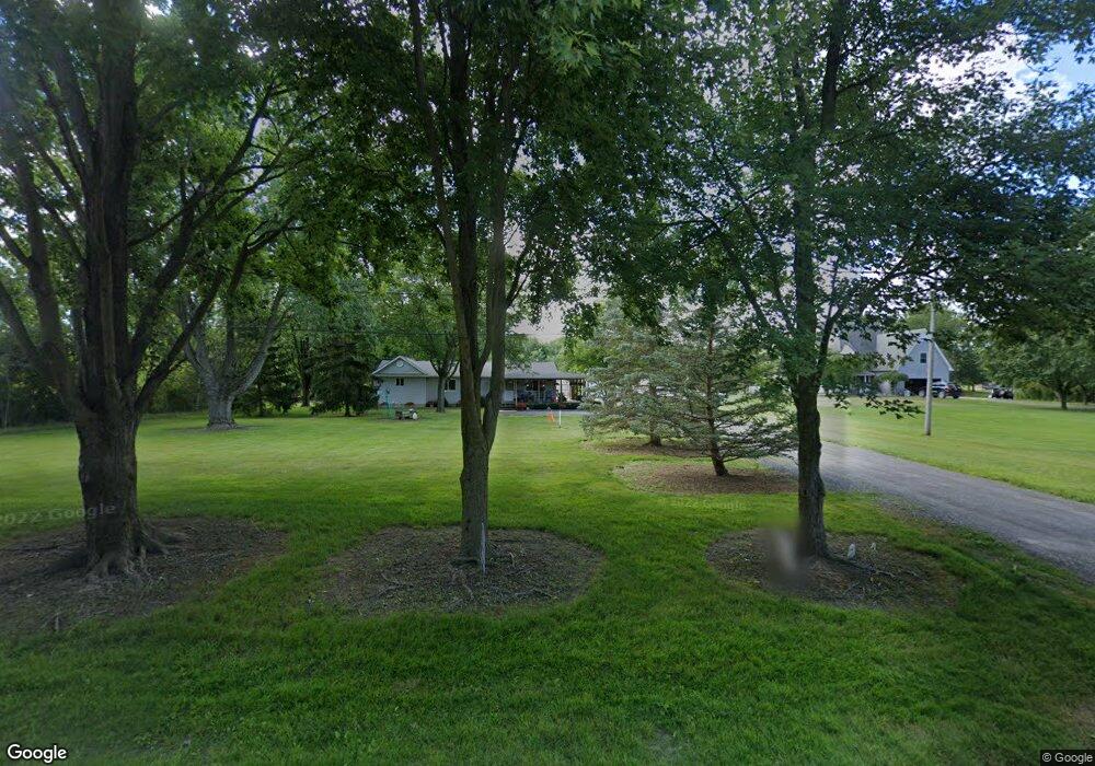
21900 Pratt Rd Armada, MI 48005
Estimated Value: $285,000 - $369,000
Studio
1
Bath
1,338
Sq Ft
$236/Sq Ft
Est. Value
About This Home
This home is located at 21900 Pratt Rd, Armada, MI 48005 and is currently estimated at $315,667, approximately $235 per square foot. 21900 Pratt Rd is a home located in Macomb County with nearby schools including Orville C. Krause Elementary School, Armada Middle School, and Armada High School.
Ownership History
Date
Name
Owned For
Owner Type
Purchase Details
Closed on
Jul 30, 2004
Sold by
Kaltz Colleen D and Price Joey
Bought by
Rivard Steven M
Current Estimated Value
Purchase Details
Closed on
Oct 23, 2000
Sold by
Krizmanich Nicholas
Bought by
Price Joey
Home Financials for this Owner
Home Financials are based on the most recent Mortgage that was taken out on this home.
Original Mortgage
$107,000
Interest Rate
7.87%
Mortgage Type
Purchase Money Mortgage
Create a Home Valuation Report for This Property
The Home Valuation Report is an in-depth analysis detailing your home's value as well as a comparison with similar homes in the area
Home Values in the Area
Average Home Value in this Area
Purchase History
| Date | Buyer | Sale Price | Title Company |
|---|---|---|---|
| Rivard Steven M | $167,000 | Metropolitan Title Company | |
| Price Joey | $142,000 | -- |
Source: Public Records
Mortgage History
| Date | Status | Borrower | Loan Amount |
|---|---|---|---|
| Previous Owner | Price Joey | $107,000 |
Source: Public Records
Tax History
| Year | Tax Paid | Tax Assessment Tax Assessment Total Assessment is a certain percentage of the fair market value that is determined by local assessors to be the total taxable value of land and additions on the property. | Land | Improvement |
|---|---|---|---|---|
| 2025 | $1,813 | $140,000 | $0 | $0 |
| 2024 | $18 | $135,600 | $0 | $0 |
| 2023 | $1,671 | $120,100 | $0 | $0 |
| 2022 | $2,531 | $109,300 | $0 | $0 |
| 2021 | $2,461 | $105,500 | $0 | $0 |
| 2020 | $1,537 | $101,800 | $0 | $0 |
| 2019 | $2,085 | $90,300 | $0 | $0 |
| 2018 | $1,883 | $84,700 | $0 | $0 |
| 2017 | $1,857 | $77,400 | $27,200 | $50,200 |
| 2016 | $1,844 | $77,400 | $0 | $0 |
| 2015 | -- | $56,100 | $0 | $0 |
| 2011 | -- | $51,527 | $25,175 | $26,352 |
Source: Public Records
Map
Nearby Homes
- 21830 Bordman Rd
- 23100 Pratt Rd
- 23335 McPhall Rd
- 0 Fox Ridge 1-A Unit 50200438
- 14150 Hough Rd
- 76845 North Ave
- 0 Irwin Unit 20251018591
- 00 Irwin Rd
- 408 Howell Rd
- 75901 North Ave
- 73763 Coon Creek Rd
- 2.0 Acres Vacant Lan Coon Creek Rd
- 5414 Bordman Rd
- TBD Bordman Rd
- 00 33 Mile Rd
- 22601 W Main St
- 27780 Pratt Rd
- 73615 Church St
- 0 Parcel D Almont Rd
- 0 Parcel E Almont Rd
- 21890 Pratt Rd
- 21820 Pratt Rd
- 21800 Pratt Rd
- 21881 Pratt Rd
- 22025 Pratt Rd
- 21750 Pratt Rd
- 21815 Pratt Rd
- 22125 Pratt Rd
- 21600 Pratt Rd
- 22255 Pratt Rd
- 22175 Pratt Rd
- 21799 McPhall Rd
- 21578 Pratt Rd
- 21881 McPhall Rd
- 21841 McPhall Rd
- 22345 Pratt Rd
- 21901 McPhall Rd
- 21500 Pratt Rd
- 00 Pratt Rd Parcel A
- 21505 Pratt Rd
Your Personal Tour Guide
Ask me questions while you tour the home.