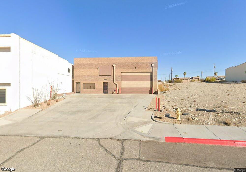
2191 Acoma Blvd W Lake Havasu City, AZ 86403
Estimated Value: $864,386
--
Bed
--
Bath
2,884
Sq Ft
$300/Sq Ft
Est. Value
About This Home
This home is located at 2191 Acoma Blvd W, Lake Havasu City, AZ 86403 and is currently estimated at $864,386, approximately $299 per square foot. 2191 Acoma Blvd W is a home located in Mohave County with nearby schools including Havasupai Elementary School, Thunderbolt Middle School, and Lake Havasu High School.
Ownership History
Date
Name
Owned For
Owner Type
Purchase Details
Closed on
Dec 19, 2019
Sold by
Galati James Patrick and Galati Anthony James
Bought by
Mackaig Steven R
Current Estimated Value
Purchase Details
Closed on
Jun 9, 2011
Sold by
New Generation Ltd Family Partnership
Bought by
The Alfred Anthony Galati Living Trust
Purchase Details
Closed on
Jan 21, 2004
Sold by
Ball Todd V and Ball Donna L
Bought by
New Generation Family Lp #1
Purchase Details
Closed on
Sep 10, 2002
Sold by
Mcgovern Calvin D and Mcgovern Linda L
Bought by
Ball Todd and Ball Donna L
Purchase Details
Closed on
Nov 27, 2000
Sold by
Coady Andy and Coady Lori M
Bought by
Mcgovern Calvin D and Mcgovern Linda L
Home Financials for this Owner
Home Financials are based on the most recent Mortgage that was taken out on this home.
Original Mortgage
$13,000
Interest Rate
7.66%
Mortgage Type
Seller Take Back
Create a Home Valuation Report for This Property
The Home Valuation Report is an in-depth analysis detailing your home's value as well as a comparison with similar homes in the area
Home Values in the Area
Average Home Value in this Area
Purchase History
| Date | Buyer | Sale Price | Title Company |
|---|---|---|---|
| Mackaig Steven R | $519,750 | Premier Title Agency | |
| The Alfred Anthony Galati Living Trust | -- | None Available | |
| New Generation Family Lp #1 | $105,000 | First American Title Ins Co | |
| Ball Todd | $47,500 | First American Title Ins Co | |
| Mcgovern Calvin D | $33,000 | Capital Title Agency Inc |
Source: Public Records
Mortgage History
| Date | Status | Borrower | Loan Amount |
|---|---|---|---|
| Previous Owner | Mcgovern Calvin D | $13,000 |
Source: Public Records
Tax History Compared to Growth
Tax History
| Year | Tax Paid | Tax Assessment Tax Assessment Total Assessment is a certain percentage of the fair market value that is determined by local assessors to be the total taxable value of land and additions on the property. | Land | Improvement |
|---|---|---|---|---|
| 2026 | -- | -- | -- | -- |
| 2025 | $5,666 | $154,443 | $0 | $0 |
| 2024 | $5,666 | $123,788 | $0 | $0 |
| 2023 | $5,666 | $93,384 | $0 | $0 |
| 2022 | $5,582 | $95,115 | $0 | $0 |
| 2021 | $6,006 | $65,023 | $0 | $0 |
| 2019 | $5,689 | $77,368 | $0 | $0 |
| 2018 | $5,485 | $71,544 | $0 | $0 |
| 2017 | $5,429 | $59,879 | $0 | $0 |
| 2016 | $4,887 | $57,086 | $0 | $0 |
| 2015 | $4,795 | $49,593 | $0 | $0 |
Source: Public Records
Map
Nearby Homes
- 2100 Chaparral Dr
- 2301 Sahara Dr
- 2200 Clarke Dr
- 2090 San Juan Dr
- 640 Acoma Blvd N
- 1911 Holly Ave
- 1901 Holly Ave
- 1541 Holly Ave
- 1986 Bahama Ave
- 2021 Industrial
- 2257 Barranca Dr
- 2030 Commander Dr
- 1960 Pirate Ln
- 675 Knobhill Ln
- 2285 Pennant Ln
- 583 Robin Ln
- 2349 Clarke Dr
- 2264 Barranca Dr
- 2272 Barranca Dr
- 2091 Holly Ave
- 2197 Acoma Blvd W
- 2185 Acoma Blvd W
- 2213 W Acoma Blvd
- 2170 Sahara Dr
- 2160 Sahara Dr
- 2160 Sahara Dr
- 2180 Sahara Dr
- 2150 Sahara Dr
- 2150 Sahara Dr
- 2180 Sahara Dr
- 2200 Sahara Dr
- 2200 Sahara Dr Unit 2
- 2140 Sahara
- 2200 Sahara Dr
- 2220 Sahara Dr
- 2160 Acoma Blvd W Unit 101
- 2130 Sahara Dr Unit 2
- 2130 Sahara Dr Unit 4
- 2130 Sahara Dr Unit 3
- 2130 Sahara Dr