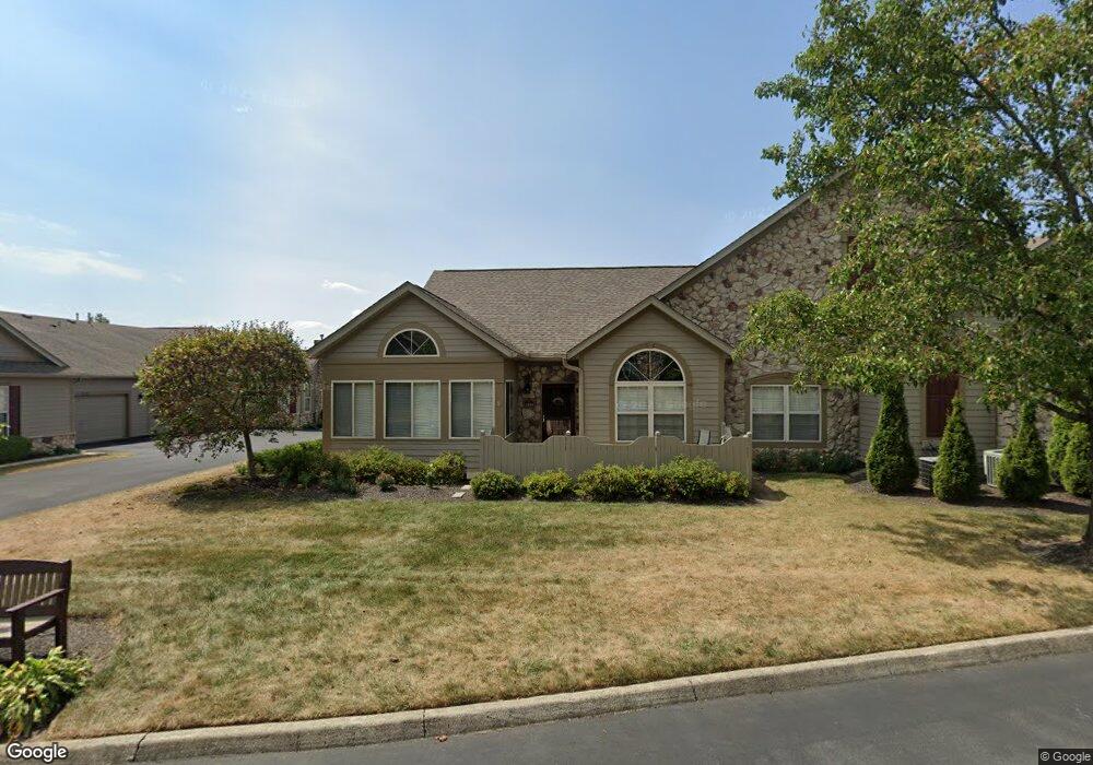
2191 William T Cir Lancaster, OH 43130
Estimated Value: $296,780 - $353,000
2
Beds
2
Baths
1,552
Sq Ft
$208/Sq Ft
Est. Value
About This Home
This home is located at 2191 William T Cir, Lancaster, OH 43130 and is currently estimated at $322,695, approximately $207 per square foot. 2191 William T Cir is a home located in Fairfield County with nearby schools including Medill Elementary School, Thomas Ewing Junior High School, and Lancaster High School.
Ownership History
Date
Name
Owned For
Owner Type
Purchase Details
Closed on
Apr 29, 2013
Sold by
Honsberger Marylynn
Bought by
Combs Richard B
Current Estimated Value
Purchase Details
Closed on
Jun 8, 2004
Sold by
Dovel Ltd
Bought by
Eppley Alfred E and Eppley Donna M
Home Financials for this Owner
Home Financials are based on the most recent Mortgage that was taken out on this home.
Original Mortgage
$70,000
Interest Rate
6.06%
Mortgage Type
Purchase Money Mortgage
Create a Home Valuation Report for This Property
The Home Valuation Report is an in-depth analysis detailing your home's value as well as a comparison with similar homes in the area
Home Values in the Area
Average Home Value in this Area
Purchase History
| Date | Buyer | Sale Price | Title Company |
|---|---|---|---|
| Combs Richard B | $160,000 | Sas Title Ag Ltd | |
| Eppley Alfred E | $171,900 | Hocking Valley Title Agency |
Source: Public Records
Mortgage History
| Date | Status | Borrower | Loan Amount |
|---|---|---|---|
| Previous Owner | Eppley Alfred E | $70,000 |
Source: Public Records
Tax History
| Year | Tax Paid | Tax Assessment Tax Assessment Total Assessment is a certain percentage of the fair market value that is determined by local assessors to be the total taxable value of land and additions on the property. | Land | Improvement |
|---|---|---|---|---|
| 2025 | $6,795 | $87,770 | $17,500 | $70,270 |
| 2024 | $6,795 | $75,580 | $11,760 | $63,820 |
| 2023 | $2,749 | $75,580 | $11,760 | $63,820 |
| 2022 | $2,760 | $75,580 | $11,760 | $63,820 |
| 2021 | $2,276 | $58,390 | $11,760 | $46,630 |
| 2020 | $2,181 | $58,390 | $11,760 | $46,630 |
| 2019 | $2,073 | $58,390 | $11,760 | $46,630 |
| 2018 | $1,959 | $50,020 | $11,760 | $38,260 |
| 2017 | $1,960 | $52,410 | $11,760 | $40,650 |
| 2016 | $1,909 | $52,410 | $11,760 | $40,650 |
| 2015 | $1,899 | $50,610 | $11,760 | $38,850 |
| 2014 | $1,809 | $50,610 | $11,760 | $38,850 |
| 2013 | $1,809 | $50,610 | $11,760 | $38,850 |
Source: Public Records
Map
Nearby Homes
- 2135 William T Cir
- 1916 Country Place
- 245 Rainbow Dr NE
- 0 Stringtown Rd NW
- 1189 Ridge Rd NE
- 0 Old Millersport Rd NE Unit 225010386
- 0 Tschopp Rd NE Unit Lot 17 225027320
- 0 Tschopp Rd NE Unit Lot 33 225027324
- 0 Tiki Ln
- 245 Overlook Dr NE
- 17 Red Bud Ln
- 1804 Pleasantville Rd
- 0 Lucille Dr NE
- 1179 N High St
- 1306 Shumaker Ave
- 1434 Pleasantville Rd
- 1285 Huffer Ave
- 831 Franklin Ave
- 0 Wacker Dr Unit 225036189
- 1836 Glenmar Dr
- 2193 William T Cir
- 2197 William T Cir
- 2223 William T Cir
- 2221 William T Cir
- 2181 William T Cir
- 2194 William T Cir
- 2225 William T Cir
- 2192 William T Cir
- 2185 William T Cir
- 2182 William T Cir
- 2183 William T Cir
- 2187 William T Cir
- 2202 William T Cir Unit 92202
- 2235 William T Cir Unit 52235
- 2184 William T Cir
- 2231 William T Cir Unit 52231
- 2196 William T Cir Unit 11219
- 2200 William T Cir Unit 92200
- 2088 William T Cir
- 2086 William T Cir
Your Personal Tour Guide
Ask me questions while you tour the home.