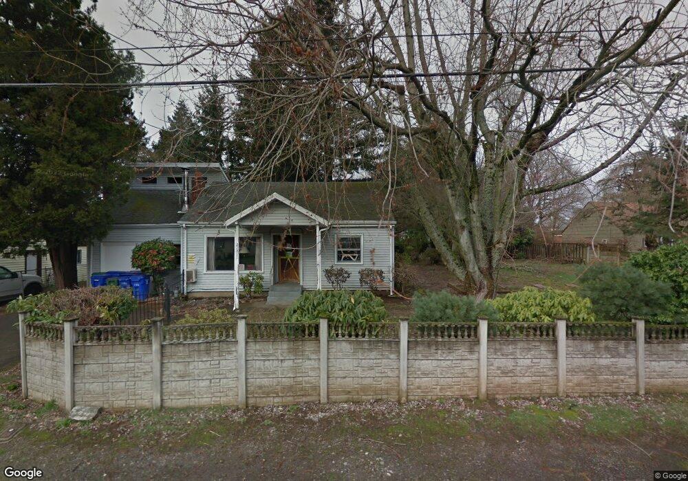
21911 SE Ash St Gresham, OR 97030
North Central NeighborhoodEstimated Value: $336,000 - $404,000
3
Beds
1
Bath
1,200
Sq Ft
$311/Sq Ft
Est. Value
About This Home
This home is located at 21911 SE Ash St, Gresham, OR 97030 and is currently estimated at $372,635, approximately $310 per square foot. 21911 SE Ash St is a home located in Multnomah County with nearby schools including North Gresham Elementary School, Clear Creek Middle School, and Gresham High School.
Ownership History
Date
Name
Owned For
Owner Type
Purchase Details
Closed on
Feb 20, 2017
Sold by
Ramage Emmabelle J and Ramage Ronald F
Bought by
Sado Negussie
Current Estimated Value
Purchase Details
Closed on
Apr 13, 2016
Sold by
Ramage Michael
Bought by
Northwest Real Estate Group Llc
Purchase Details
Closed on
Oct 7, 1996
Sold by
Ramage Emmabelle J
Bought by
Ramage Ronald F
Create a Home Valuation Report for This Property
The Home Valuation Report is an in-depth analysis detailing your home's value as well as a comparison with similar homes in the area
Home Values in the Area
Average Home Value in this Area
Purchase History
| Date | Buyer | Sale Price | Title Company |
|---|---|---|---|
| Sado Negussie | $143,000 | None Available | |
| Northwest Real Estate Group Llc | $1,000 | None Available | |
| Ramage Ronald F | $30,000 | -- |
Source: Public Records
Tax History
| Year | Tax Paid | Tax Assessment Tax Assessment Total Assessment is a certain percentage of the fair market value that is determined by local assessors to be the total taxable value of land and additions on the property. | Land | Improvement |
|---|---|---|---|---|
| 2025 | $3,580 | $175,940 | -- | -- |
| 2024 | $3,427 | $170,820 | -- | -- |
| 2023 | $3,123 | $165,850 | $0 | $0 |
| 2022 | $2,054 | $108,980 | $0 | $0 |
| 2021 | $2,821 | $149,070 | $0 | $0 |
| 2020 | $2,655 | $144,730 | $0 | $0 |
| 2019 | $2,585 | $140,520 | $0 | $0 |
| 2018 | $2,465 | $136,430 | $0 | $0 |
| 2017 | $2,365 | $132,460 | $0 | $0 |
| 2016 | $2,416 | $128,610 | $0 | $0 |
Source: Public Records
Map
Nearby Homes
- 210 SE 218th Ave
- 21553 SE Ankeny Terrace
- 21525 SE Oak St
- 132 SE 214th Ave
- 209 SE 214th Ave
- 21532 SE Alder St
- 21400 SE Stark St Unit 2
- 21260 SE Stark St
- 1035 SE 225th Ave
- 21016 SE Stark St Unit 71
- 21016 SE Stark St Unit 69
- 760 NE Pacific Dr
- 22285 NE Park Ln
- 1305 NE Village St
- 1367 NE Market Dr
- 2775 NE Linden Ave
- 1405 NE Village St
- 1510 NE Village St
- 535 NE 24th St
- 21033 SE Clay Ct
- 21891 SE Ash St
- 21931 SE Ash St
- 21912 SE Ankeny St
- 21881 SE Ash St
- 21860 SE Ankeny St
- 21916 SE Ankeny St
- 21852 SE Ankeny St
- 141 SE 220th Ave
- 21916 SE Ash St
- 21953 SE Ash St
- 21904 SE Ash St
- 21846 SE Ankeny St
- 129 SE 220th Ave
- 21861 SE Ash St
- 21932 SE Ash St
- 21856 SE Ash St
- 21834 SE Ankeny St
- 121 SE 220th Ave
- 211 SE 220th Ave
- 21844 SE Ash St
Your Personal Tour Guide
Ask me questions while you tour the home.