21918 Michael Dr Magnolia, TX 77355
Estimated Value: $528,000 - $976,000
--
Bed
4
Baths
4,224
Sq Ft
$194/Sq Ft
Est. Value
About This Home
This home is located at 21918 Michael Dr, Magnolia, TX 77355 and is currently estimated at $817,377, approximately $193 per square foot. 21918 Michael Dr is a home located in Montgomery County with nearby schools including J.L. Lyon Elementary School, Magnolia Sixth Grade Campus, and Magnolia Junior High School.
Ownership History
Date
Name
Owned For
Owner Type
Purchase Details
Closed on
Jun 11, 1998
Sold by
Frazier E P Inc
Bought by
Carter Brian I and Carter Jacque L
Current Estimated Value
Purchase Details
Closed on
Aug 21, 1997
Sold by
Mcgoldrick R L
Bought by
Carter Brian I and Carter Jacque L
Purchase Details
Closed on
Jul 11, 1997
Sold by
Stuart & Hill Inc
Bought by
Sampson Ava M and Sampson I A
Purchase Details
Closed on
Jul 9, 1997
Sold by
Sampson Ava M and Sampson L A
Bought by
Mcgoldrick R L
Create a Home Valuation Report for This Property
The Home Valuation Report is an in-depth analysis detailing your home's value as well as a comparison with similar homes in the area
Home Values in the Area
Average Home Value in this Area
Purchase History
| Date | Buyer | Sale Price | Title Company |
|---|---|---|---|
| Carter Brian I | -- | -- | |
| Carter Brian I | -- | -- | |
| E P Frazier Inc | -- | -- | |
| Sampson Ava M | -- | -- | |
| Mcgoldrick R L | -- | -- |
Source: Public Records
Tax History Compared to Growth
Tax History
| Year | Tax Paid | Tax Assessment Tax Assessment Total Assessment is a certain percentage of the fair market value that is determined by local assessors to be the total taxable value of land and additions on the property. | Land | Improvement |
|---|---|---|---|---|
| 2025 | $4,254 | $648,896 | $177,480 | $471,416 |
| 2024 | $4,206 | $619,806 | -- | -- |
| 2023 | $4,206 | $563,460 | $177,480 | $521,090 |
| 2022 | $9,039 | $512,240 | $178,020 | $399,700 |
| 2021 | $8,655 | $465,670 | $102,900 | $381,810 |
| 2020 | $8,567 | $423,340 | $102,900 | $326,010 |
| 2019 | $7,751 | $384,850 | $102,900 | $338,020 |
| 2018 | $6,230 | $349,860 | $80,640 | $338,020 |
| 2017 | $6,744 | $318,050 | $80,640 | $278,270 |
| 2016 | $6,131 | $289,140 | $80,640 | $298,800 |
| 2015 | $3,322 | $181,360 | $80,640 | $201,700 |
| 2014 | $3,322 | $164,870 | $2,500 | $180,330 |
Source: Public Records
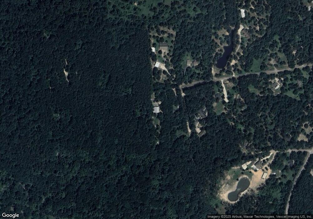
Map
Nearby Homes
- 21405 Roberts Cemetery Rd
- 21802 Lindheimer Rd
- 22323 Roberts Cemetery Rd
- 21701 Glenmont Blvd
- 000 Bergman Dr
- 25340 Brushby Creek Dr
- 25308 Brushby Creek Dr
- 25304 Brushby Creek Dr
- 24519 Panther Branch Rd
- 24520 Panther Branch Rd
- 24515 Panther Branch Rd
- 25327 Brushby Creek Dr
- 24516 Panther Branch Rd
- 24512 Panther Branch Rd
- 24507 Panther Branch Rd
- 25311 Brushby Creek Dr
- 25306 Stoneham Creek Dr
- Glimmer Plan at Spring Creek Trails
- Falcon Plan at Spring Creek Trails
- Radiance Plan at Spring Creek Trails
- 0 Michael
- 21925 Michael Dr
- 21919 Michael Dr
- 21902 Michael Dr
- 21819 Michael Dr
- 21910 Michael Dr
- 21819 Rose Cir
- TBD Michael Dr
- 0 Micheal Dr
- 21815 Rose Cir
- 21818 Michael Dr
- 21815 Michael Dr
- 21806 Rose Cir
- Lot 32C and 33A Rose Cir
- 00 Rose Cir
- Lot 34B Rose Cir
- 22123 Glenmont Estates Blvd
- 21807 Michael Dr
- 21806 Michael Dr
- 0000 Rose Cir