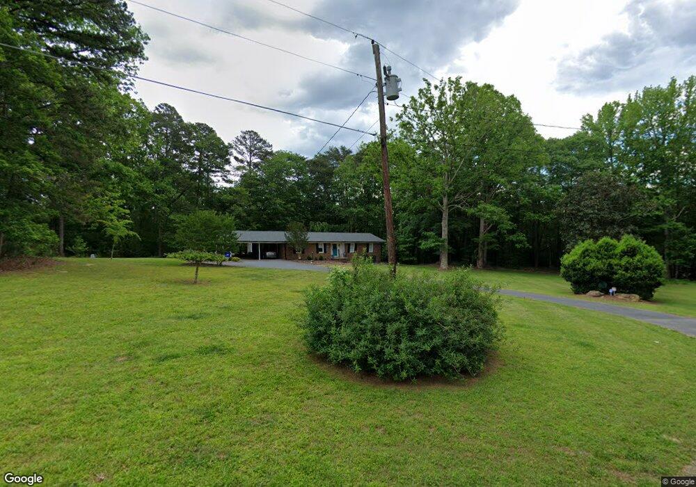
2192 Davidson Rd Asheboro, NC 27205
Estimated Value: $245,124 - $322,000
--
Bed
2
Baths
1,484
Sq Ft
$190/Sq Ft
Est. Value
About This Home
This home is located at 2192 Davidson Rd, Asheboro, NC 27205 and is currently estimated at $281,281, approximately $189 per square foot. 2192 Davidson Rd is a home located in Randolph County with nearby schools including Charles W. McCrary Elementary School, North Asheboro Middle School, and Asheboro High School.
Ownership History
Date
Name
Owned For
Owner Type
Purchase Details
Closed on
Apr 18, 2017
Sold by
Stout Davidson Stephen Jerome and Stout Davidson Beth
Bought by
Bunting Hillary Mcdowell and Bunting Aaron Bradley
Current Estimated Value
Home Financials for this Owner
Home Financials are based on the most recent Mortgage that was taken out on this home.
Original Mortgage
$139,194
Outstanding Balance
$121,476
Interest Rate
6.25%
Mortgage Type
FHA
Estimated Equity
$159,805
Create a Home Valuation Report for This Property
The Home Valuation Report is an in-depth analysis detailing your home's value as well as a comparison with similar homes in the area
Home Values in the Area
Average Home Value in this Area
Purchase History
| Date | Buyer | Sale Price | Title Company |
|---|---|---|---|
| Bunting Hillary Mcdowell | $152,000 | None Available |
Source: Public Records
Mortgage History
| Date | Status | Borrower | Loan Amount |
|---|---|---|---|
| Open | Bunting Hillary Mcdowell | $139,194 |
Source: Public Records
Tax History Compared to Growth
Tax History
| Year | Tax Paid | Tax Assessment Tax Assessment Total Assessment is a certain percentage of the fair market value that is determined by local assessors to be the total taxable value of land and additions on the property. | Land | Improvement |
|---|---|---|---|---|
| 2025 | $1,459 | $187,500 | $41,180 | $146,320 |
| 2024 | $1,440 | $187,500 | $41,180 | $146,320 |
| 2023 | $1,440 | $187,500 | $41,180 | $146,320 |
| 2022 | $1,221 | $131,190 | $29,260 | $101,930 |
| 2021 | $1,221 | $131,190 | $29,260 | $101,930 |
| 2020 | $1,194 | $131,190 | $29,260 | $101,930 |
| 2019 | $1,194 | $131,190 | $29,260 | $101,930 |
| 2018 | $1,120 | $119,690 | $22,960 | $96,730 |
| 2016 | $0 | $119,689 | $21,680 | $98,009 |
Source: Public Records
Map
Nearby Homes
- 2589 Northmont Lake Dr
- 2004 Northmont Dr
- 2193 Berkley Ln
- 1086 Wilson Dr
- 1475 Fawn Dr
- 1821 Back Creek Ct
- 1847 Saddlewood Ct
- 1142 Westover Terrace
- 223 Mclaurin Dr
- 1025 Neely Dr
- 1374 W Lake Dr
- 1011 Westmont Dr
- 0 English St
- 1582 Westmont Dr
- 0 Highwood Dr
- 1273 Cedar Creek Dr
- 2087 Old Lexington Rd
- 1110 Park Dr
- 866 Mountain Rd
- 405 Saunders Dr
- 2429 Northmont Dr
- 2197 Davidson Rd
- 2439 Northmont Dr
- 2405 Northmont Dr
- 2361 Northmont Dr
- 2258 Davidson Rd
- 2243 Davidson Rd
- 2436 Northmont Dr
- 894 Wellington Place
- 2497 Northmont Dr
- 2358 Mountain Lake Rd
- 1008 Mountain Valley Dr
- 2378 Mountain Lake Rd
- 2012 Davidson Rd
- 2507 Northmont Dr
- 2242 Davidson Rd
- 2204 Davidson Rd
- 2276 Davidson Rd
- 2346 Mountain Lake Rd
- 2331 Northmont Dr