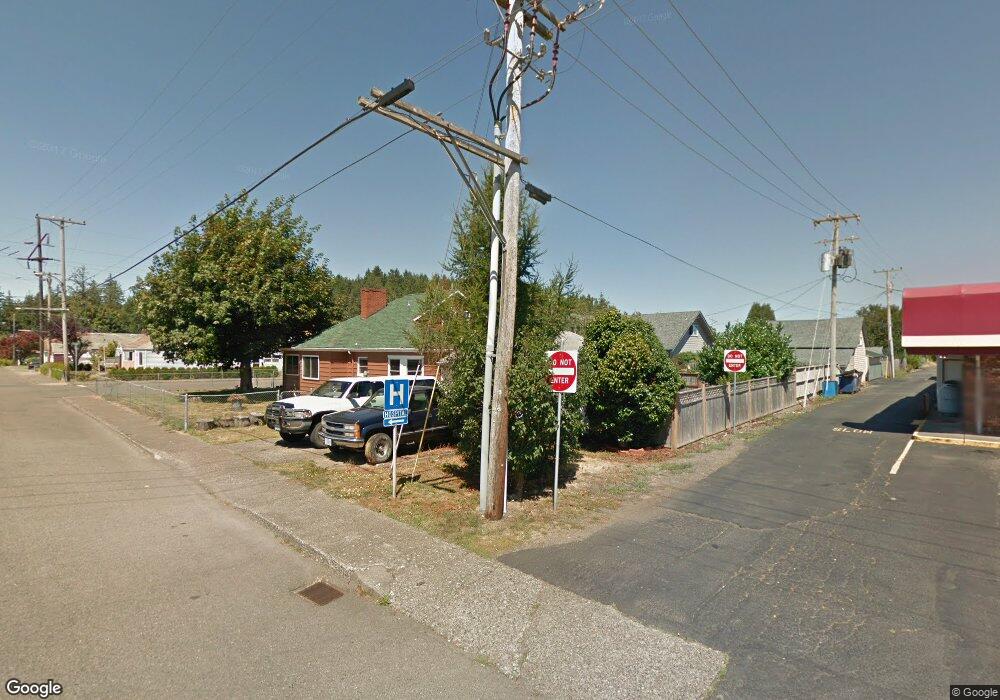
2192 Fir Ave Reedsport, OR 97467
Estimated Value: $264,000 - $373,000
4
Beds
2
Baths
2,452
Sq Ft
$129/Sq Ft
Est. Value
About This Home
This home is located at 2192 Fir Ave, Reedsport, OR 97467 and is currently estimated at $316,669, approximately $129 per square foot. 2192 Fir Ave is a home located in Douglas County with nearby schools including Highland Elementary School and Reedsport Community Charter School.
Ownership History
Date
Name
Owned For
Owner Type
Purchase Details
Closed on
Sep 22, 2025
Sold by
Bedard Karen
Bought by
Bedard Nicklaus Walt
Current Estimated Value
Purchase Details
Closed on
Aug 6, 2009
Sold by
Petersen Kenneth A
Bought by
Bedard Karen and Bedard William Mark
Home Financials for this Owner
Home Financials are based on the most recent Mortgage that was taken out on this home.
Original Mortgage
$67,500
Interest Rate
5.37%
Mortgage Type
Purchase Money Mortgage
Purchase Details
Closed on
Jan 23, 2009
Sold by
Endicott Daniel J and Hooper Christopher J
Bought by
Clark Bruce
Create a Home Valuation Report for This Property
The Home Valuation Report is an in-depth analysis detailing your home's value as well as a comparison with similar homes in the area
Home Values in the Area
Average Home Value in this Area
Purchase History
| Date | Buyer | Sale Price | Title Company |
|---|---|---|---|
| Bedard Nicklaus Walt | -- | None Listed On Document | |
| Bedard Karen | $90,000 | Western Title & Escrow | |
| Clark Bruce | -- | None Available |
Source: Public Records
Mortgage History
| Date | Status | Borrower | Loan Amount |
|---|---|---|---|
| Previous Owner | Bedard Karen | $67,500 |
Source: Public Records
Tax History Compared to Growth
Tax History
| Year | Tax Paid | Tax Assessment Tax Assessment Total Assessment is a certain percentage of the fair market value that is determined by local assessors to be the total taxable value of land and additions on the property. | Land | Improvement |
|---|---|---|---|---|
| 2024 | $3,243 | $171,742 | -- | -- |
| 2023 | $3,152 | $166,740 | $0 | $0 |
| 2022 | $3,059 | $161,884 | $0 | $0 |
| 2021 | $2,544 | $157,169 | $0 | $0 |
| 2020 | $2,919 | $153,177 | $0 | $0 |
| 2019 | $2,387 | $126,239 | $0 | $0 |
| 2018 | $2,282 | $122,563 | $0 | $0 |
| 2017 | $2,003 | $118,994 | $0 | $0 |
| 2016 | $1,957 | $115,529 | $0 | $0 |
| 2015 | $1,884 | $112,165 | $0 | $0 |
| 2014 | $1,814 | $108,899 | $0 | $0 |
| 2013 | -- | $105,728 | $0 | $0 |
Source: Public Records
Map
Nearby Homes
- 2136 Greenwood Ave
- 241 N 21st St
- 2111 Greenwood Ave
- 460 N 20th St
- 800 Masters Ct
- 611 Hulton Way
- 2795 Ridgeway Dr
- 8 Masters Way
- 856 Masters Ct
- 2220 Arthur Dr
- 245 S 18th St
- 550 S 19th St
- 2950 Greenbriar St
- 2690 Gardens Ave
- 847 Vista Ct
- 3000 Frontage Rd
- 729 Ranch Rd
- 905 Bellevue Dr
- 3381 Ridgeway Dr
- 920 Ranch Rd
- 2164 Fir Ave
- 2150 Fir Ave
- 2161 Winchester Ave
- 217 N 22nd St
- 2173 Fir Ave
- 2207 Winchester Ave
- 2136 Fir Ave
- 2157 Fir Ave
- 2149 Fir Ave
- 2122 Fir Ave
- 2125 Fir Ave
- 2192 Greenwood Ave
- 2110 Fir Ave
- 2156 Greenwood Ave
- 2107 Fir Ave
- 2211 Winchester Ave
- 2120 Greenwood Ave
- 175 S 22nd St
- 2179 Elm Ave
- 2149 Elm Ave