21920 Hoover Bault Rd Raymond, OH 43067
Estimated Value: $371,000 - $513,000
4
Beds
3
Baths
2,296
Sq Ft
$183/Sq Ft
Est. Value
About This Home
This home is located at 21920 Hoover Bault Rd, Raymond, OH 43067 and is currently estimated at $420,030, approximately $182 per square foot. 21920 Hoover Bault Rd is a home located in Union County with nearby schools including Raymond Elementary School, Creekview Intermediate Elementary School, and Bunsold Middle School.
Ownership History
Date
Name
Owned For
Owner Type
Purchase Details
Closed on
Aug 2, 2024
Sold by
Mullaney Glenda L
Bought by
Glenda L Mullaney Irrevocable Trust and Mullaney
Current Estimated Value
Purchase Details
Closed on
Apr 5, 2006
Sold by
Mullaney Mark T and Mullaney Glenda L
Bought by
Mullaney Jack and Mullaney Michael
Create a Home Valuation Report for This Property
The Home Valuation Report is an in-depth analysis detailing your home's value as well as a comparison with similar homes in the area
Home Values in the Area
Average Home Value in this Area
Purchase History
| Date | Buyer | Sale Price | Title Company |
|---|---|---|---|
| Glenda L Mullaney Irrevocable Trust | -- | None Listed On Document | |
| Mullaney Jack | -- | None Available |
Source: Public Records
Tax History Compared to Growth
Tax History
| Year | Tax Paid | Tax Assessment Tax Assessment Total Assessment is a certain percentage of the fair market value that is determined by local assessors to be the total taxable value of land and additions on the property. | Land | Improvement |
|---|---|---|---|---|
| 2024 | $4,001 | $93,050 | $28,360 | $64,690 |
| 2023 | $4,001 | $93,050 | $28,360 | $64,690 |
| 2022 | $3,768 | $93,050 | $28,360 | $64,690 |
| 2021 | $3,544 | $76,730 | $21,820 | $54,910 |
| 2020 | $3,387 | $76,730 | $21,820 | $54,910 |
| 2019 | $3,485 | $76,730 | $21,820 | $54,910 |
| 2018 | $3,056 | $64,120 | $18,710 | $45,410 |
| 2017 | $2,884 | $64,120 | $18,710 | $45,410 |
| 2016 | $2,874 | $64,120 | $18,710 | $45,410 |
| 2015 | $2,657 | $57,230 | $14,990 | $42,240 |
| 2014 | $2,657 | $57,230 | $14,990 | $42,240 |
| 2013 | $2,504 | $57,230 | $14,990 | $42,240 |
Source: Public Records
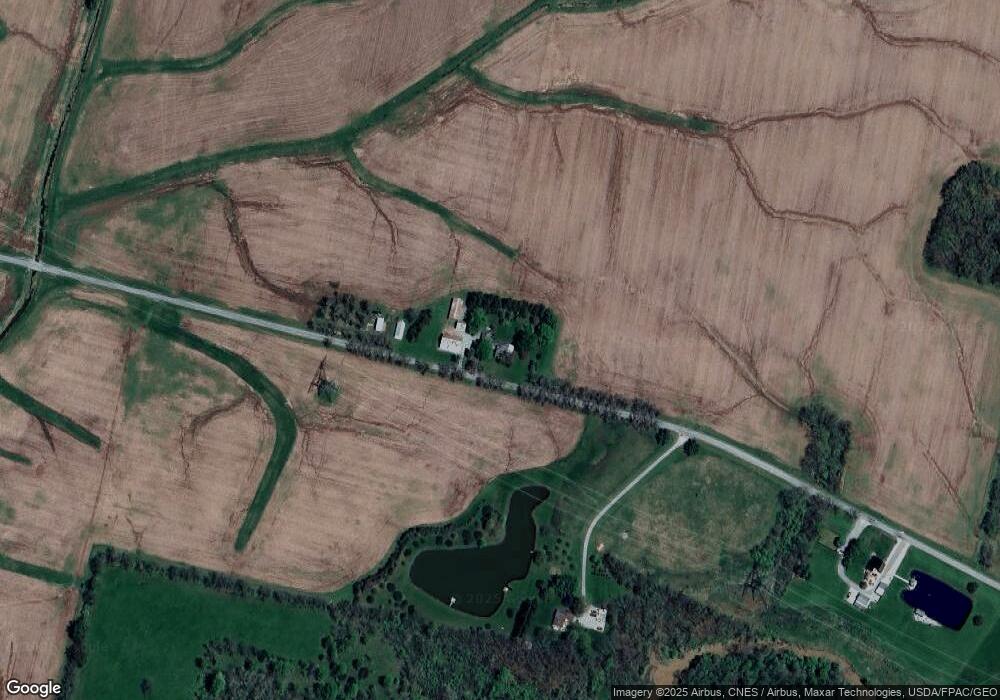
Map
Nearby Homes
- 0 Powder Lick Rd Unit 1016484
- 21630 Main St
- 25400 Storms Rd
- 23156 State Route 739
- 25883 Lunda Rd
- 24097 Lunda Rd
- 21875 Liberty Rd W
- 20971 Peoria Loop Rd
- 0 Liberty Rd W Unit 225028227
- 24805 Rapp Dean Rd
- 19250 Powder Lick Rd
- 0 Johnson Rd Unit 225027964
- 0 Johnson Rd Unit 222024368
- 0 Johnson Rd Unit Lot 2 222024351
- 20499 Bear Swamp Rd
- 20350 Bear Swamp Rd
- 1299 Forest Edge Dr
- 1322 Forest Edge Dr
- 28370 State Route 739
- 828 County Road 142 S
- 21805 Hoover Bault Rd
- 0 Powder Lick Rd Unit 19720752
- 0 Powder Lick Rd Unit 2739845
- 0 Liberty Rd W Unit 9905474
- 0 State Route 739 Unit 2703361
- 0 Liberty Rd W Unit 2628432
- 0 Phelps Rd Unit 2544305
- 0 Powder Lick Rd Unit 2312787
- 0 Powder Lick Rd Unit 2016214
- 0 Powder Lick Rd Unit 2016215
- 0 Liberty Rd W Unit L H 9818477
- 0 Powder Lick Rd Unit 9911788
- 0 Powder Lick Rd Unit 9924691
- 0 Powder Lick Rd Unit 9829052
- 0 Liberty Rd W Unit 9809799
- 0 Liberty Rd W Unit 2241352
- 0 Liberty Rd W Unit 96424
- 0 State Route 739 Unit 2826702
- 0 Phelps Rd Unit 2925967
- 0 Powder Lick Rd Unit Lot 5 & 6 2941269