Estimated Value: $395,930 - $505,000
2
Beds
1
Bath
1,200
Sq Ft
$373/Sq Ft
Est. Value
About This Home
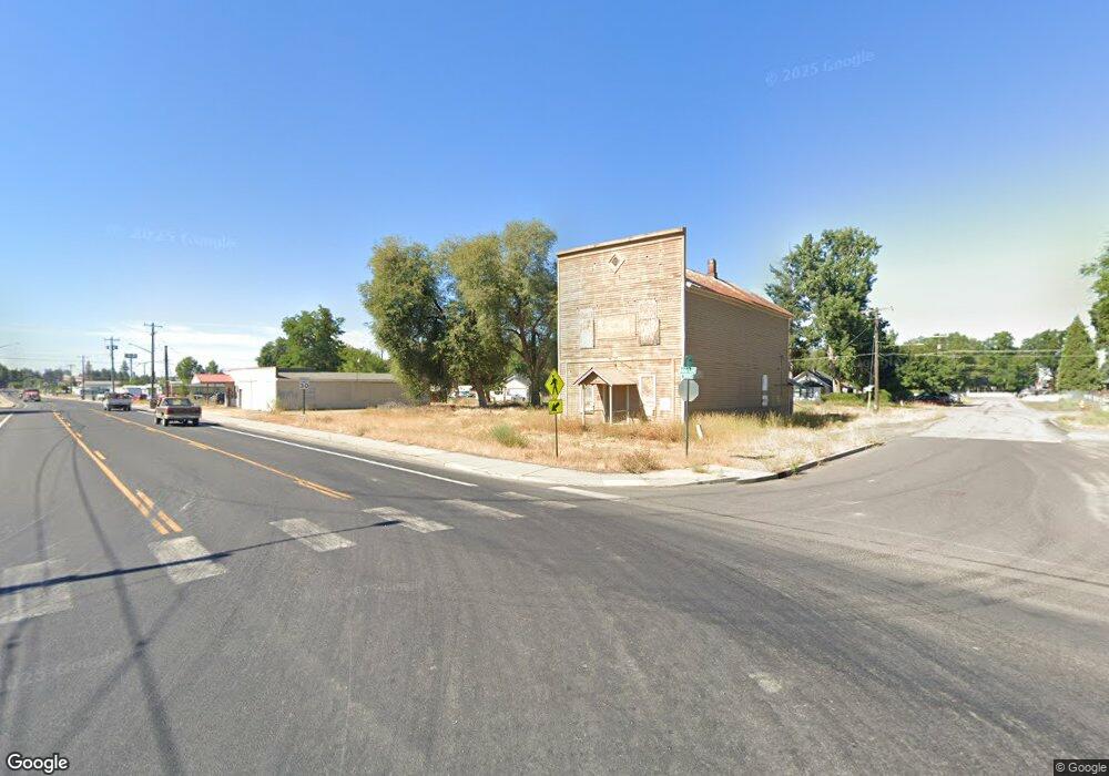
This home is located at 21921 N Unassigned Address Rd, Mead, WA 99021 and is currently estimated at $447,977, approximately $373 per square foot. 21921 N Unassigned Address Rd is a home with nearby schools including Colbert Elementary School, Mountainside Middle School, and Mt. Spokane High School.
Ownership History
Date
Name
Owned For
Owner Type
Purchase Details
Closed on
Mar 24, 2022
Sold by
Carlton Wical Scott
Bought by
Wical Living Trust
Current Estimated Value
Purchase Details
Closed on
Apr 27, 2016
Sold by
Wical Virginia E
Bought by
Wical Scott C
Purchase Details
Closed on
Jul 16, 1997
Sold by
Iller Virginia M
Bought by
The Virginia M Iller Revocable Living Tr
Purchase Details
Closed on
Jun 26, 1996
Sold by
Blood William H
Bought by
Iller Virginia M
Create a Home Valuation Report for This Property
The Home Valuation Report is an in-depth analysis detailing your home's value as well as a comparison with similar homes in the area
Home Values in the Area
Average Home Value in this Area
Purchase History
| Date | Buyer | Sale Price | Title Company |
|---|---|---|---|
| Wical Living Trust | $313 | None Listed On Document | |
| Wical Scott C | -- | None Available | |
| The Virginia M Iller Revocable Living Tr | -- | -- | |
| Iller Virginia M | -- | -- |
Source: Public Records
Tax History Compared to Growth
Tax History
| Year | Tax Paid | Tax Assessment Tax Assessment Total Assessment is a certain percentage of the fair market value that is determined by local assessors to be the total taxable value of land and additions on the property. | Land | Improvement |
|---|---|---|---|---|
| 2025 | $3,598 | $357,400 | $156,500 | $200,900 |
| 2024 | $3,598 | $354,600 | $156,000 | $198,600 |
| 2023 | $3,359 | $354,600 | $156,000 | $198,600 |
| 2022 | $2,527 | $368,400 | $178,000 | $190,400 |
| 2021 | $2,231 | $209,900 | $67,700 | $142,200 |
| 2020 | $2,170 | $193,600 | $67,700 | $125,900 |
| 2019 | $1,952 | $175,800 | $67,700 | $108,100 |
| 2018 | $2,091 | $158,100 | $57,700 | $100,400 |
| 2017 | $1,975 | $150,300 | $57,700 | $92,600 |
| 2016 | $1,832 | $136,350 | $56,150 | $80,200 |
| 2015 | $1,804 | $137,980 | $62,780 | $75,200 |
| 2014 | -- | $130,480 | $62,780 | $67,700 |
| 2013 | -- | $0 | $0 | $0 |
Source: Public Records
Map
Nearby Homes
- XXX N Madison Rd
- 21XXX N Madison Rd
- 196xx N Madison Rd
- 000 N Northwood Dr
- 20012 N Halliday Rd
- NNA N Madison Rd
- 20016 N Sands Rd
- 8818 E Little Deep Creek Rd
- 23303 N Madison Rd
- 194XX N Holcomb Rd
- NKA E Day Mt Spokane Rd Unit North Parcel
- 24808 N Day Mount Spokane Rd
- NKA N Day Mount Spokane Rd
- 24xxx N Orchard Rd
- 0 E Orchard Bluff Rd Lot A Rd
- 17816 N Day Mt Spokane Rd
- 0 N Mt Carlton Apn 47131 9081 Rd
- 17310 N Sands Rd
- 25512 N Orchard Bluff Rd
- 21307 N Mt Carlton Rd
- 21815 N Day Mt Spokane Rd
- 12101 E Randall Rd
- 12311 E Randall Rd
- 21921 N Day Mount Spokane Rd
- XX N Day Mt Spokane Rd
- 0 N Day Mt Spokane Rd Unit SAR201123316
- 0 N Day Mt Spokane Rd Unit SAR201123313
- 16600 N Day Mount Spokane Rd
- 0 N Day Mt Spokane Rd Unit SAR201026811
- 0 N Day Mt Spokane Rd Unit SAR201026809
- 0 N Day Mt Spokane Rd Unit SAR201026810
- 0 N Day Mt Spokane Rd Unit SAR201010278
- 0 N Day Mt Spokane Rd Unit SAR201010291
- 0 N Day Mt Spokane Rd Unit SAR201010269
- 0 N Day Mt Spokane Rd Unit SAR29028459
- 0 N Day Mt Spokane Rd Unit SAR29018839
- 0 N Day Mt Spokane Rd Unit SAR29018846
- 0 N Day Mt Spokane Rd Unit SAR25019305
- 0 N Day Mt Spokane Rd Unit SAR25010149
- 0 N Day Mt Spokane Rd Unit 12-3556