21922 State Highway 74 Purcell, OK 73080
Estimated Value: $258,000 - $436,000
3
Beds
2
Baths
2,451
Sq Ft
$137/Sq Ft
Est. Value
About This Home
This home is located at 21922 State Highway 74, Purcell, OK 73080 and is currently estimated at $337,008, approximately $137 per square foot. 21922 State Highway 74 is a home located in McClain County with nearby schools including Purcell Elementary School, Purcell Intermediate School, and Purcell Junior High School.
Ownership History
Date
Name
Owned For
Owner Type
Purchase Details
Closed on
Jun 28, 2018
Sold by
Suchy Carolyn J
Bought by
Suchy William Mark and Suchy Jacqueline L
Current Estimated Value
Purchase Details
Closed on
Dec 5, 2011
Sold by
Fredell Mary Diane and Fredell John A
Bought by
Suchy Fred and Suchy Carolyn
Purchase Details
Closed on
Dec 2, 2011
Sold by
Campbll Lisa Gail and Campbell Douglas J
Bought by
Suchy Fred and Suchy Carolyn
Create a Home Valuation Report for This Property
The Home Valuation Report is an in-depth analysis detailing your home's value as well as a comparison with similar homes in the area
Home Values in the Area
Average Home Value in this Area
Purchase History
| Date | Buyer | Sale Price | Title Company |
|---|---|---|---|
| Suchy William Mark | -- | None Available | |
| Suchy Fred | $20,000 | None Available | |
| Suchy Fred | $20,000 | None Available | |
| Suchy Fred | $20,000 | None Available |
Source: Public Records
Tax History Compared to Growth
Tax History
| Year | Tax Paid | Tax Assessment Tax Assessment Total Assessment is a certain percentage of the fair market value that is determined by local assessors to be the total taxable value of land and additions on the property. | Land | Improvement |
|---|---|---|---|---|
| 2025 | $1,581 | $16,019 | $4,686 | $11,333 |
| 2024 | $1,581 | $15,552 | $4,549 | $11,003 |
| 2023 | $1,581 | $15,099 | $4,524 | $10,575 |
| 2022 | $1,467 | $14,660 | $4,518 | $10,142 |
| 2021 | $1,438 | $14,232 | $4,489 | $9,743 |
| 2020 | $1,380 | $13,818 | $4,489 | $9,329 |
| 2019 | $1,361 | $13,416 | $5,126 | $8,290 |
| 2018 | $1,360 | $13,026 | $4,573 | $8,453 |
| 2017 | $1,288 | $13,126 | $3,848 | $9,278 |
| 2016 | $1,262 | $12,744 | $3,183 | $9,561 |
| 2015 | $1,242 | $12,373 | $2,616 | $9,757 |
| 2014 | $1,190 | $12,012 | $2,526 | $9,486 |
Source: Public Records
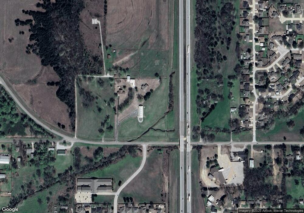
Map
Nearby Homes
- 937 Luglena Ln
- 933 Luglena Ln
- 1203 Mayes St
- 1068 Westbrook Blvd
- 1064 Westbrook Blvd
- 1060 Westbrook Blvd
- 1027 W Windsor Way
- 1085 Blue Ridge Dr
- 1081 Blue Ridge Dr
- 1077 Blue Ridge Dr
- 1073 Blue Ridge Dr
- 1069 Blue Ridge Dr
- 1065 Blue Ridge Dr
- 1061 Blue Ridge Dr
- 1057 Blue Ridge Dr
- 1053 Blue Ridge Dr
- Rc Mitchell Plan at Southbrook
- Rc Cooper Plan at Southbrook
- Rc Keswick Plan at Southbrook
- RC Ridgeland Plan at Southbrook
- 21918 State Highway 74
- 1035 W Grant St
- 1705 Anthony Ave
- 1711 Anthony Ave
- 1703 Anthony Ave
- 1015 Luglena Ln
- 1715 Anthony Ave
- 1023 Luglena Ln
- 1723 Anthony Ave
- 1033 Luglena Ln
- 1033 Luglena Ln
- 1729 Anthony Ave
- 1035 Luglena Ln
- 0 Anthony Ave
- 1801 Anthony Ave
- 1022 W Grant St
- 26454 220th St
- 1807 Anthony Ave
- 939 Luglena Ln
- 939 Luglena Ln