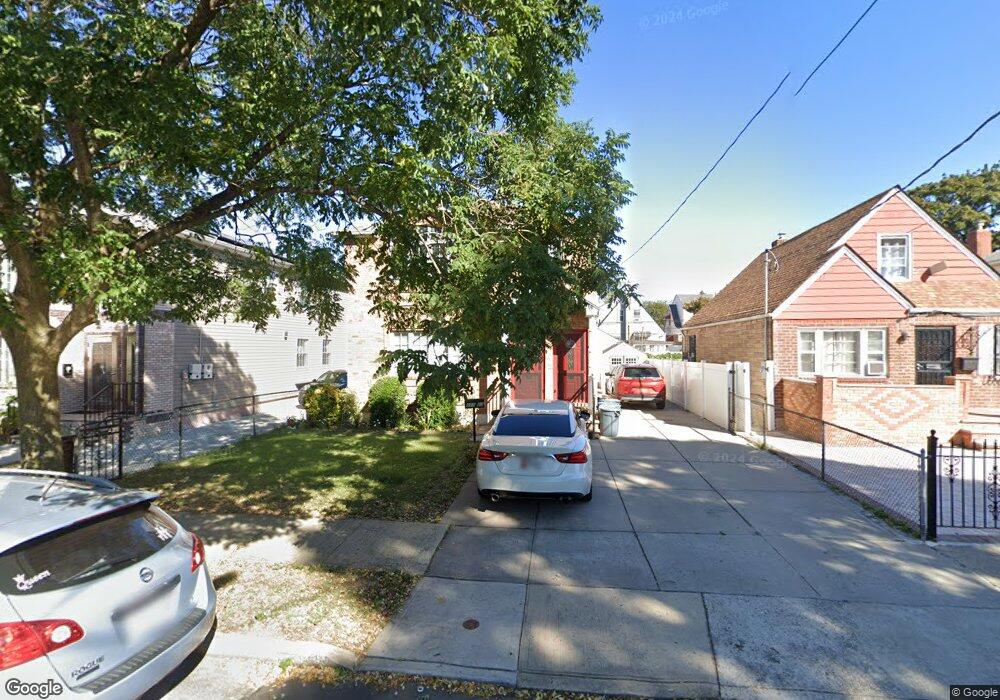
21923 113th Ave Queens Village, NY 11429
Queens Village NeighborhoodEstimated Value: $727,468 - $904,000
--
Bed
--
Bath
1,680
Sq Ft
$493/Sq Ft
Est. Value
About This Home
This home is located at 21923 113th Ave, Queens Village, NY 11429 and is currently estimated at $828,867, approximately $493 per square foot. 21923 113th Ave is a home located in Queens County with nearby schools including P.S./M.S. 147 Ronald Mcnair, I.S. 192 The Linden, and Ss Joachim & Anne School.
Ownership History
Date
Name
Owned For
Owner Type
Purchase Details
Closed on
Oct 7, 2011
Sold by
Club Holding Corp
Bought by
Devonish Leyon
Current Estimated Value
Home Financials for this Owner
Home Financials are based on the most recent Mortgage that was taken out on this home.
Original Mortgage
$448,000
Outstanding Balance
$306,289
Interest Rate
4.15%
Mortgage Type
Purchase Money Mortgage
Estimated Equity
$522,578
Purchase Details
Closed on
Jan 20, 2011
Sold by
Sargent Albert Ernest
Bought by
Club Holding Corp
Create a Home Valuation Report for This Property
The Home Valuation Report is an in-depth analysis detailing your home's value as well as a comparison with similar homes in the area
Home Values in the Area
Average Home Value in this Area
Purchase History
| Date | Buyer | Sale Price | Title Company |
|---|---|---|---|
| Devonish Leyon | $560,000 | -- | |
| Club Holding Corp | $225,000 | -- |
Source: Public Records
Mortgage History
| Date | Status | Borrower | Loan Amount |
|---|---|---|---|
| Open | Devonish Leyon | $448,000 |
Source: Public Records
Tax History Compared to Growth
Tax History
| Year | Tax Paid | Tax Assessment Tax Assessment Total Assessment is a certain percentage of the fair market value that is determined by local assessors to be the total taxable value of land and additions on the property. | Land | Improvement |
|---|---|---|---|---|
| 2025 | $5,973 | $33,006 | $6,811 | $26,195 |
| 2024 | $5,985 | $31,138 | $6,613 | $24,525 |
| 2023 | $5,619 | $29,376 | $6,694 | $22,682 |
| 2022 | $3,967 | $42,900 | $10,500 | $32,400 |
| 2021 | $5,583 | $38,580 | $10,500 | $28,080 |
| 2020 | $3,291 | $42,420 | $10,500 | $31,920 |
| 2019 | $2,900 | $42,480 | $10,500 | $31,980 |
| 2018 | $4,693 | $24,480 | $7,582 | $16,898 |
| 2017 | $4,446 | $23,280 | $7,236 | $16,044 |
| 2016 | $4,344 | $23,280 | $7,236 | $16,044 |
| 2015 | $1,746 | $22,921 | $10,175 | $12,746 |
| 2014 | $1,746 | $21,624 | $10,282 | $11,342 |
Source: Public Records
Map
Nearby Homes
- 22117 Murdock Ave
- 112-29 219th St
- 219-47 112th Ave
- 21531 Murdock Ave
- 22324 Murdock Ave
- 21739 114th Rd
- 217-39 114th Rd
- 22343 113th Dr
- 114-36 220th St
- 21438 112th Rd
- 214-38 113th Ave
- 215-28 112th Ave
- 109-15 221st St
- 225-23 Murdock Ave
- 22524 Murdock Ave
- 21867 110th Ave
- 224-06 114th Rd
- 113-66 Springfield Blvd
- 215-11 112th Ave
- 22533 Murdock Ave
- 21927 113th Ave
- 219-19 113th Ave
- 21919 113th Ave
- 21927 113th Ave
- 21915 113th Ave
- 21929 113th Ave
- 21922 112th Rd
- 21926 112th Rd
- 219-27 113th Ave
- 21916 112th Rd
- 21930 112th Rd
- 21931 113th Ave
- 21931 113th Ave
- 21909 113th Ave
- 21912 112th Rd
- 21934 112th Rd
- 21939 113th Ave
- 21924 113th Ave
- 21939 113th Ave
- 21928 113th Ave