21925 60th Ave N Port Byron, IL 61275
Estimated Value: $306,000 - $451,055
--
Bed
--
Bath
1,680
Sq Ft
$232/Sq Ft
Est. Value
About This Home
This home is located at 21925 60th Ave N, Port Byron, IL 61275 and is currently estimated at $390,352, approximately $232 per square foot. 21925 60th Ave N is a home located in Rock Island County with nearby schools including Riverdale Elementary School, Riverdale Middle School, and Riverdale Senior High School.
Create a Home Valuation Report for This Property
The Home Valuation Report is an in-depth analysis detailing your home's value as well as a comparison with similar homes in the area
Home Values in the Area
Average Home Value in this Area
Tax History Compared to Growth
Tax History
| Year | Tax Paid | Tax Assessment Tax Assessment Total Assessment is a certain percentage of the fair market value that is determined by local assessors to be the total taxable value of land and additions on the property. | Land | Improvement |
|---|---|---|---|---|
| 2024 | $9,471 | $142,211 | $17,435 | $124,776 |
| 2023 | $9,471 | $133,281 | $16,340 | $116,941 |
| 2022 | $7,883 | $116,052 | $15,583 | $100,469 |
| 2021 | $7,756 | $110,949 | $14,898 | $96,051 |
| 2020 | $7,651 | $109,525 | $14,707 | $94,818 |
| 2019 | $7,527 | $107,536 | $14,440 | $93,096 |
| 2018 | $6,253 | $91,954 | $20,208 | $71,746 |
| 2017 | $5,846 | $90,239 | $19,831 | $70,408 |
| 2016 | $5,838 | $89,790 | $19,732 | $70,058 |
| 2015 | $5,430 | $83,329 | $18,312 | $65,017 |
| 2014 | $1,002 | $78,726 | $17,853 | $60,873 |
| 2013 | $1,002 | $78,726 | $17,853 | $60,873 |
Source: Public Records
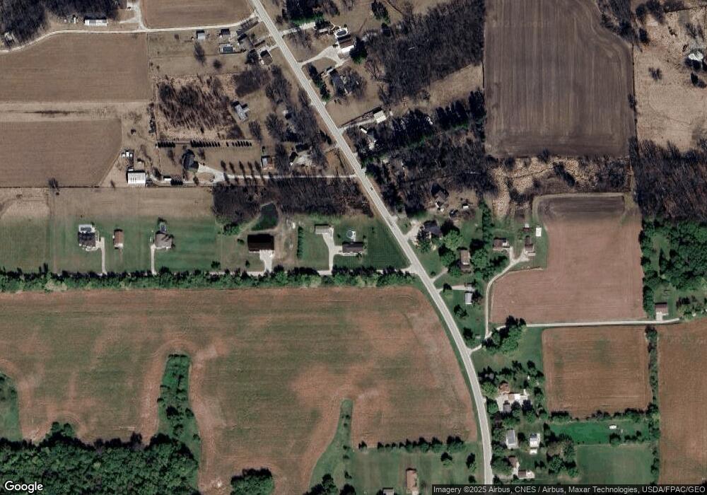
Map
Nearby Homes
- 22220 60th Ave N
- 6103 221st St N
- 6125 221st St N
- 21827 60th Ave N
- 6204 221st St N
- 6117 221st St N
- 6201 221st St N
- 6023 221st St N
- 6019 221st St N
- 6212 221st St N
- 6223 221st St N
- 21727 60th Ave N
- 6304 221st St N
- 5921 221st St N
- 6307 221st St N
- 5917 221st St N
- 5810 221st St N
- 5909 221st St N
- 6308 221st St N
- 6321 221st St N