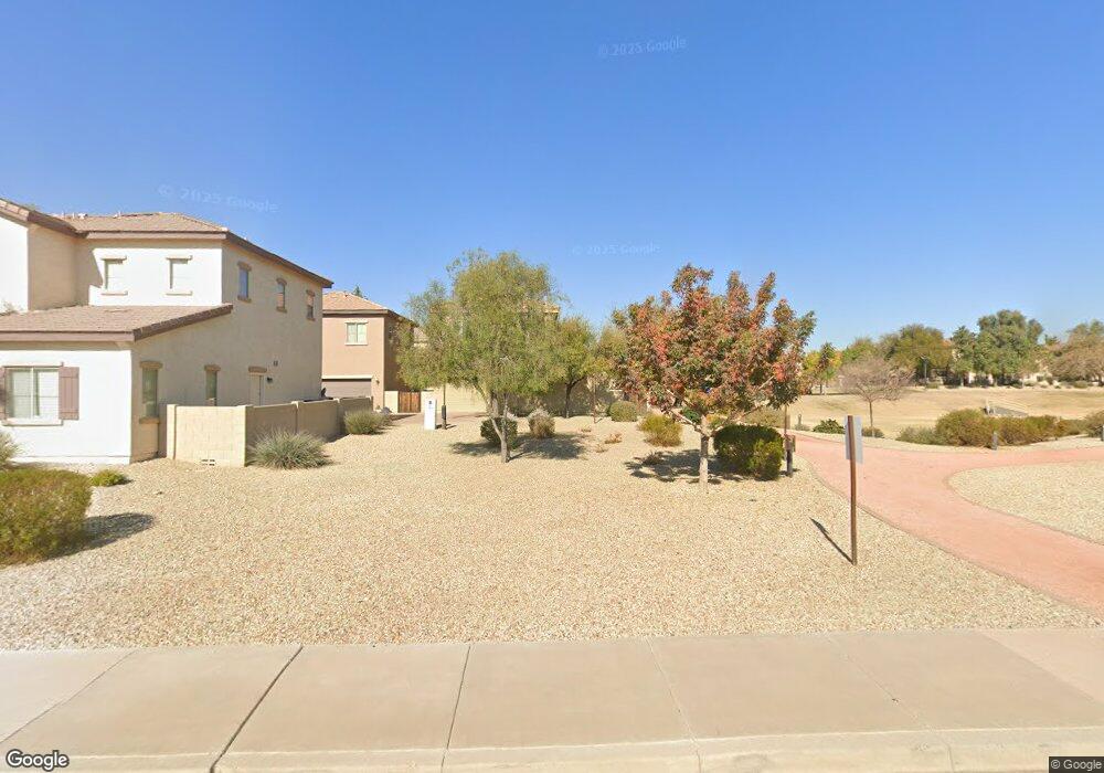
21925 N 103rd Ln Unit 434 Peoria, AZ 85383
Estimated Value: $320,007 - $374,000
--
Bed
3
Baths
1,375
Sq Ft
$256/Sq Ft
Est. Value
About This Home
This home is located at 21925 N 103rd Ln Unit 434, Peoria, AZ 85383 and is currently estimated at $352,252, approximately $256 per square foot. 21925 N 103rd Ln Unit 434 is a home located in Maricopa County with nearby schools including Sunset Heights Elementary School, Liberty High School, and Candeo Peoria.
Ownership History
Date
Name
Owned For
Owner Type
Purchase Details
Closed on
Dec 7, 2007
Sold by
Engle/Sunbelt Llc
Bought by
Vail Christopher J and Vail Karen E
Current Estimated Value
Home Financials for this Owner
Home Financials are based on the most recent Mortgage that was taken out on this home.
Original Mortgage
$181,980
Outstanding Balance
$114,947
Interest Rate
6.26%
Mortgage Type
New Conventional
Estimated Equity
$237,305
Create a Home Valuation Report for This Property
The Home Valuation Report is an in-depth analysis detailing your home's value as well as a comparison with similar homes in the area
Home Values in the Area
Average Home Value in this Area
Purchase History
| Date | Buyer | Sale Price | Title Company |
|---|---|---|---|
| Vail Christopher J | $181,980 | Universal Land Title Agency |
Source: Public Records
Mortgage History
| Date | Status | Borrower | Loan Amount |
|---|---|---|---|
| Open | Vail Christopher J | $181,980 |
Source: Public Records
Tax History Compared to Growth
Tax History
| Year | Tax Paid | Tax Assessment Tax Assessment Total Assessment is a certain percentage of the fair market value that is determined by local assessors to be the total taxable value of land and additions on the property. | Land | Improvement |
|---|---|---|---|---|
| 2025 | $1,093 | $13,717 | -- | -- |
| 2024 | $1,074 | $13,064 | -- | -- |
| 2023 | $1,074 | $27,600 | $5,520 | $22,080 |
| 2022 | $1,051 | $20,700 | $4,140 | $16,560 |
| 2021 | $1,123 | $19,080 | $3,810 | $15,270 |
| 2020 | $1,134 | $17,380 | $3,470 | $13,910 |
| 2019 | $1,099 | $16,410 | $3,280 | $13,130 |
| 2018 | $1,054 | $14,830 | $2,960 | $11,870 |
| 2017 | $1,055 | $13,560 | $2,710 | $10,850 |
| 2016 | $1,025 | $11,770 | $2,350 | $9,420 |
| 2015 | $975 | $12,060 | $2,410 | $9,650 |
Source: Public Records
Map
Nearby Homes
- 10370 W Sands Dr Unit 463
- 10296 W Sands Dr Unit 485
- 21635 N 102nd Ave
- 10328 W Carlota Ln
- 10456 W Los Gatos Dr
- 21479 N 104th Dr
- 10446 W Lone Cactus Dr
- 10172 W Carlota Ln
- 22173 N 101st Dr
- 22488 N 104th Ln
- 21978 N 100th Ave
- 10226 W Country Club Trail
- 22729 N 103rd Ln
- 10549 W Albert Ln
- 22341 N 100th Ln
- 22760 N 103rd Ln
- 00000 W Westwind Dr Unit 201-08-428
- 10368 W Ross Ave
- 10806 W Adam Ave
- 9978 W Sugar Sand Ln
- 21925 N 103rd Ln
- 21925 N 103rd Ln Unit 433
- 21925 N 103rd Ln Unit 437
- 21925 N 103rd Ln Unit 436
- 21925 N 103rd Ln Unit 435
- 21926 N 103rd Ln
- 21926 N 103rd Ln Unit 365
- 21926 N 103rd Ln Unit 366
- 21926 N 103rd Ln Unit 370
- 21926 N 103rd Ln Unit 368
- 21926 N 103rd Ln Unit 369
- 21926 N 103rd Ln Unit 367
- 21975 N 103rd Ln Unit 438
- 21975 N 103rd Ln Unit 443
- 21975 N 103rd Ln Unit 439
- 21975 N 103rd Ln Unit 442
- 21975 N 103rd Ln Unit 440
- 21975 N 103rd Ln Unit 441
- 21975 N 103rd Ln
- 21976 N 103rd Ln