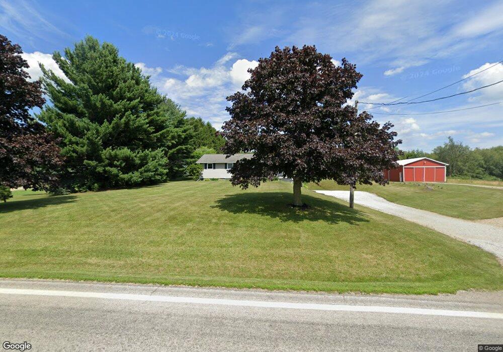
2193 State Route 511 Perrysville, OH 44864
Estimated Value: $286,000 - $372,000
4
Beds
2
Baths
1,365
Sq Ft
$238/Sq Ft
Est. Value
About This Home
This home is located at 2193 State Route 511, Perrysville, OH 44864 and is currently estimated at $324,288, approximately $237 per square foot. 2193 State Route 511 is a home located in Ashland County with nearby schools including Hillsdale Elementary School, Hillsdale Middle School, and Hillsdale High School.
Ownership History
Date
Name
Owned For
Owner Type
Purchase Details
Closed on
Apr 7, 2016
Sold by
Killey Robert E and Killey Joanne
Bought by
Holmes James L and Holmes Wendy
Current Estimated Value
Purchase Details
Closed on
Apr 14, 2006
Sold by
Smeltzer Jason S
Bought by
Killey Robert E
Purchase Details
Closed on
Aug 1, 2002
Sold by
Watson Alfred M
Bought by
Smeltzer Jason S
Purchase Details
Closed on
Dec 6, 1994
Sold by
Stake James L
Bought by
Stake James L
Create a Home Valuation Report for This Property
The Home Valuation Report is an in-depth analysis detailing your home's value as well as a comparison with similar homes in the area
Purchase History
| Date | Buyer | Sale Price | Title Company |
|---|---|---|---|
| Holmes James L | -- | Attorney Only | |
| Killey Robert E | $150,000 | -- | |
| Smeltzer Jason S | $125,000 | -- | |
| Stake James L | -- | -- |
Source: Public Records
Tax History
| Year | Tax Paid | Tax Assessment Tax Assessment Total Assessment is a certain percentage of the fair market value that is determined by local assessors to be the total taxable value of land and additions on the property. | Land | Improvement |
|---|---|---|---|---|
| 2025 | $2,512 | $77,140 | $14,990 | $62,150 |
| 2024 | $2,512 | $77,140 | $14,990 | $62,150 |
| 2023 | $2,512 | $77,140 | $14,990 | $62,150 |
| 2022 | $2,187 | $53,200 | $10,340 | $42,860 |
| 2021 | $2,190 | $53,200 | $10,340 | $42,860 |
| 2020 | $2,050 | $53,200 | $10,340 | $42,860 |
| 2019 | $1,962 | $49,900 | $9,830 | $40,070 |
| 2018 | $1,950 | $49,900 | $9,830 | $40,070 |
| 2017 | $1,704 | $49,900 | $9,830 | $40,070 |
| 2016 | $1,704 | $43,390 | $8,550 | $34,840 |
| 2015 | $1,683 | $43,390 | $8,550 | $34,840 |
| 2013 | $1,919 | $48,510 | $8,920 | $39,590 |
Source: Public Records
Map
Nearby Homes
- 946 Township Road 2206
- 1117 County Road 2075
- 1172 County Road 2075
- 87 N Mechanic St
- 150 E Main St
- 0 Mount Zion Rd Unit 226009674
- 0 Mount Zion Rd Unit 9072801
- 2119 County Road 2175
- 1105 Township Road 1806
- 609 Ohio 95
- 3390 Muskie Dr
- 0 County Road 1754
- 754 Touby Ln
- 1015 Township Road 1696
- 1727 1/2 State Route 60
- 1727 1/2 Ohio 60
- 4281 Lucas Perrysville Rd
- 3386 Trumpower Rd
- 496 Township Road 2402
- 174 W 2nd St
- 2193 Ohio 511
- 2189 Ohio 511
- 2189 State Route 511
- 994 Township Road 2206
- 2185 Ohio 511
- 2204 State Route 511
- 2185 State Route 511
- 986 Township Road 2206
- 978 Township Road 2206
- 2173 State Route 511
- 2163 State Route 511
- 2163A State Route 511
- 2220 State Route 511
- 2159 State Route 511
- 2159 Ohio 511
- 962 Township Road 2206
- 2156 State Route 511
- 2234 Ohio 511
- 2156 Ohio 511
- 955 Township Road 2206
Your Personal Tour Guide
Ask me questions while you tour the home.