Estimated Value: $404,000 - $626,000
4
Beds
4
Baths
1,220
Sq Ft
$421/Sq Ft
Est. Value
About This Home
This home is located at 2194 Clarkston Ln, Union, KY 41091 and is currently estimated at $513,926, approximately $421 per square foot. 2194 Clarkston Ln is a home located in Boone County with nearby schools including Erpenbeck Elementary School, Ockerman Middle School, and Randall K. Cooper High School.
Ownership History
Date
Name
Owned For
Owner Type
Purchase Details
Closed on
Jul 31, 2012
Sold by
Federal National Mortgage Association
Bought by
Crone Kevin and Broeg Eva
Current Estimated Value
Home Financials for this Owner
Home Financials are based on the most recent Mortgage that was taken out on this home.
Original Mortgage
$248,900
Outstanding Balance
$164,793
Interest Rate
2.75%
Mortgage Type
Adjustable Rate Mortgage/ARM
Estimated Equity
$349,133
Purchase Details
Closed on
Jan 10, 2012
Sold by
Meiman James E and Estate Of William A Chestnut
Bought by
Federal National Mortgage Association
Purchase Details
Closed on
Feb 28, 2006
Sold by
Martin Thelma and Martin David W
Bought by
Chestnut William A
Home Financials for this Owner
Home Financials are based on the most recent Mortgage that was taken out on this home.
Original Mortgage
$244,000
Interest Rate
6.04%
Mortgage Type
New Conventional
Create a Home Valuation Report for This Property
The Home Valuation Report is an in-depth analysis detailing your home's value as well as a comparison with similar homes in the area
Home Values in the Area
Average Home Value in this Area
Purchase History
| Date | Buyer | Sale Price | Title Company |
|---|---|---|---|
| Crone Kevin | $262,000 | Us Title | |
| Federal National Mortgage Association | -- | None Available | |
| Chestnut William A | $305,000 | Kentucky Land Title Agency |
Source: Public Records
Mortgage History
| Date | Status | Borrower | Loan Amount |
|---|---|---|---|
| Open | Crone Kevin | $248,900 | |
| Previous Owner | Chestnut William A | $244,000 |
Source: Public Records
Tax History Compared to Growth
Tax History
| Year | Tax Paid | Tax Assessment Tax Assessment Total Assessment is a certain percentage of the fair market value that is determined by local assessors to be the total taxable value of land and additions on the property. | Land | Improvement |
|---|---|---|---|---|
| 2024 | $3,463 | $375,000 | $100,000 | $275,000 |
| 2023 | $3,140 | $325,000 | $100,000 | $225,000 |
| 2022 | $3,080 | $325,000 | $100,000 | $225,000 |
| 2021 | $3,962 | $325,000 | $100,000 | $225,000 |
| 2020 | $3,152 | $325,000 | $100,000 | $225,000 |
| 2019 | $2,837 | $290,000 | $90,000 | $200,000 |
| 2018 | $2,862 | $290,000 | $90,000 | $200,000 |
| 2017 | $2,807 | $290,000 | $90,000 | $200,000 |
| 2015 | $2,784 | $328,440 | $100,000 | $228,440 |
| 2013 | -- | $290,000 | $90,000 | $200,000 |
Source: Public Records
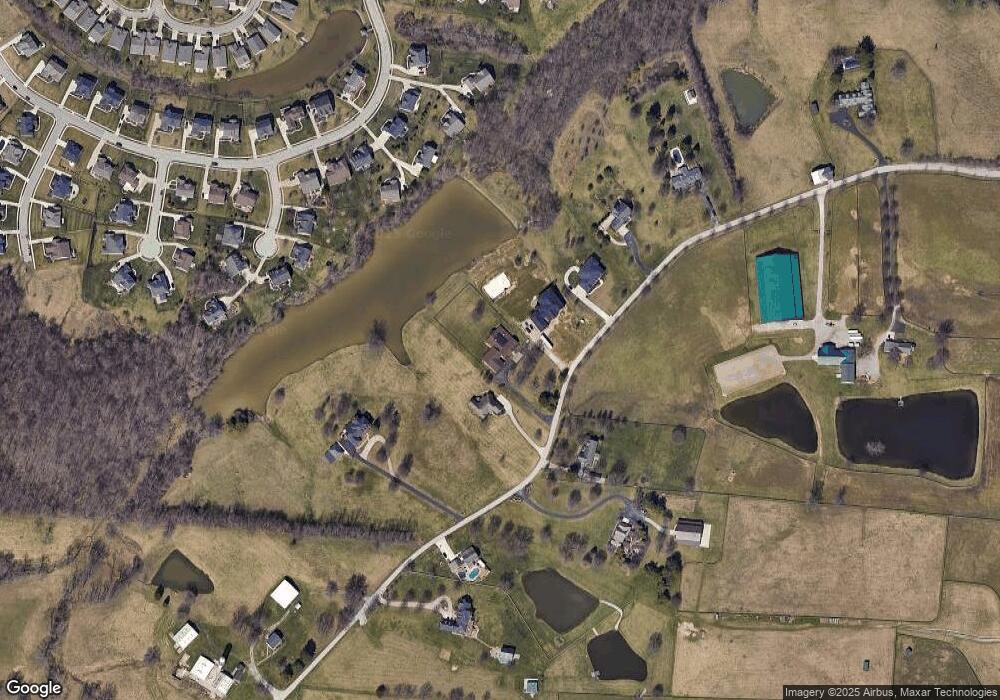
Map
Nearby Homes
- 8645 Marais Dr
- The Westchester Plan at Hunter's Ridge
- The Marietta Plan at Hunter's Ridge
- The Camden Plan at Hunter's Ridge
- The Bristol Plan at Hunter's Ridge
- The Avalon Plan at Hunter's Ridge
- The Bristol Plan at Ballyshannon
- 5005 Loch Dr
- The Courtney Plan at Hunter's Ridge
- The Ella Marie Plan at Ballyshannon
- The Camden Plan at Ballyshannon
- The Lancaster Plan at Ballyshannon
- The Kendall Plan at Ballyshannon
- The Verona Plan at Hunter's Ridge
- The Lincoln Plan at Ballyshannon
- The Jefferson Plan at Ballyshannon
- The Mariemont Plan at Hunter's Ridge
- The Westchester Plan at Ballyshannon
- The Morgan Plan at Hunter's Ridge
- The Madison Plan at Hunter's Ridge
- 2194 Clarkston Ln
- 2202 Clarkston Ln
- 2174 Clarkston Ln
- 2174 Clarkston Ln Unit Lot 3
- 32 Clarkston
- 3 Clarkston Unit Lot 3
- 23 Clarkston
- 0 Clarkston Lot #7 Unit 419687
- 0 Clarkston Lot #6 Unit 419686
- 6789 Clarkston Ln
- 678 Clarkston Ln
- 56789 Clarkston Ln
- 67 Clarkston Ln
- 12345 Clarkston Ln
- 45 Clarkston Ln
- 2 Clarkston Ln
- 1 Clarkston Ln
- 6 Clarkston Ln
- 8 Clarkston Ln
- 9 Clarkston Ln