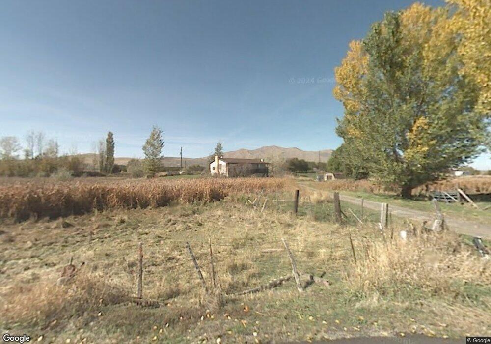
2194 W 1470 S Payson, UT 84651
Estimated Value: $558,000 - $1,408,518
3
Beds
2
Baths
1,200
Sq Ft
$819/Sq Ft
Est. Value
About This Home
This home is located at 2194 W 1470 S, Payson, UT 84651 and is currently estimated at $983,259, approximately $819 per square foot. 2194 W 1470 S is a home with nearby schools including Taylor Elementary School, Salem Junior High School, and Valley View Middle School.
Ownership History
Date
Name
Owned For
Owner Type
Purchase Details
Closed on
Oct 10, 2012
Sold by
Davenport Norma L
Bought by
Nielsen Joseph L and Nielsen Amee
Current Estimated Value
Purchase Details
Closed on
Jan 25, 2007
Sold by
Davenport Norma L
Bought by
Davenport Norma L and Norma L Davenport Trust
Create a Home Valuation Report for This Property
The Home Valuation Report is an in-depth analysis detailing your home's value as well as a comparison with similar homes in the area
Home Values in the Area
Average Home Value in this Area
Purchase History
| Date | Buyer | Sale Price | Title Company |
|---|---|---|---|
| Nielsen Joseph L | -- | Provo Land Title Co | |
| Davenport Norma L | -- | None Available |
Source: Public Records
Tax History
| Year | Tax Paid | Tax Assessment Tax Assessment Total Assessment is a certain percentage of the fair market value that is determined by local assessors to be the total taxable value of land and additions on the property. | Land | Improvement |
|---|---|---|---|---|
| 2025 | $2,548 | $260,350 | -- | -- |
| 2024 | $2,548 | $259,271 | $0 | $0 |
| 2023 | $2,627 | $268,134 | $0 | $0 |
| 2022 | $2,059 | $975,500 | $720,500 | $255,000 |
| 2021 | $1,741 | $655,200 | $463,500 | $191,700 |
| 2020 | $1,449 | $596,600 | $404,900 | $191,700 |
| 2019 | $1,306 | $474,600 | $300,300 | $174,300 |
| 2018 | $1,216 | $431,900 | $280,300 | $151,600 |
| 2017 | $1,080 | $90,395 | $0 | $0 |
| 2016 | $918 | $76,371 | $0 | $0 |
| 2015 | $886 | $73,206 | $0 | $0 |
| 2014 | $981 | $73,398 | $0 | $0 |
Source: Public Records
Map
Nearby Homes
- 2031 W 1150 S Unit 1044
- 2011 W 1150 S Unit 1042
- 1983 W 1150 S Unit 1037
- 1979 W 1150 S Unit 1036
- 1973 W 1150 S Unit 1035
- 1971 W 1150 S Unit 1034
- 1967 W 1150 S Unit 1033
- 1963 W 1150 S Unit 1032
- 1992 W 1150 S Unit 1022
- 1984 W 1150 S Unit 1024
- 1972 W 1150 S Unit 1027
- 1968 W 1150 S Unit 1028
- 1964 W 1150 S Unit 1029
- 1218 S 1740 W
- 1208 S 1740 W
- 10900 S St
- 9022 S 4400 W
- 2200 W 1130 St S
- 841 N Dryland Cir Unit BALLAR
- 841 N Dryland Cir Unit DREXEL
- 4888 W 11560 S
- 11808 S West Mountain Rd
- 11838 S West Mountain Rd
- 11480 S 4800 W
- 11515 S 4800 W
- 11495 S 4800 W
- 1417 S 1950 W
- 11411 S 4800 W
- 1367 S 1950 W
- 1298 S 1950 W
- 11397 S 4800 W
- 1425 S 1950 W
- 9335 S 1950 W
- 4850 W 11950 S
- 11356 S 4800 W
- 11328 S 4800 W
- 1252 S 1950 W
- 11315 S 4800 W
- 1412 S 1700 W
- 1235 S 1950 W
Your Personal Tour Guide
Ask me questions while you tour the home.