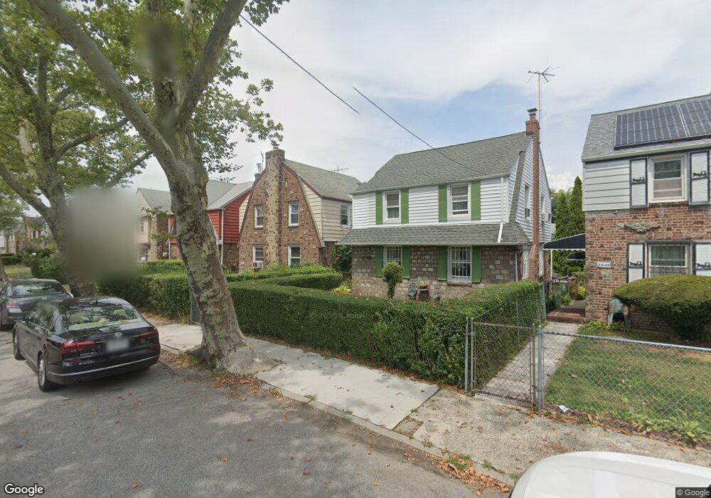
21941 113th Dr Queens Village, NY 11429
Queens Village NeighborhoodEstimated Value: $608,860 - $715,000
--
Bed
--
Bath
1,056
Sq Ft
$635/Sq Ft
Est. Value
About This Home
This home is located at 21941 113th Dr, Queens Village, NY 11429 and is currently estimated at $670,715, approximately $635 per square foot. 21941 113th Dr is a home located in Queens County with nearby schools including P.S./M.S. 147 Ronald Mcnair, I.S. 192 The Linden, and Ss Joachim & Anne School.
Ownership History
Date
Name
Owned For
Owner Type
Purchase Details
Closed on
Mar 26, 2003
Sold by
Tobias Teresa S
Bought by
Tobias Teresa S
Current Estimated Value
Home Financials for this Owner
Home Financials are based on the most recent Mortgage that was taken out on this home.
Original Mortgage
$80,000
Interest Rate
5.46%
Mortgage Type
Purchase Money Mortgage
Create a Home Valuation Report for This Property
The Home Valuation Report is an in-depth analysis detailing your home's value as well as a comparison with similar homes in the area
Home Values in the Area
Average Home Value in this Area
Purchase History
| Date | Buyer | Sale Price | Title Company |
|---|---|---|---|
| Tobias Teresa S | -- | -- | |
| Tobias Teresa S | -- | -- |
Source: Public Records
Mortgage History
| Date | Status | Borrower | Loan Amount |
|---|---|---|---|
| Closed | Tobias Teresa S | $80,000 |
Source: Public Records
Tax History Compared to Growth
Tax History
| Year | Tax Paid | Tax Assessment Tax Assessment Total Assessment is a certain percentage of the fair market value that is determined by local assessors to be the total taxable value of land and additions on the property. | Land | Improvement |
|---|---|---|---|---|
| 2025 | $4,756 | $26,582 | $6,373 | $20,209 |
| 2024 | $4,768 | $25,078 | $6,270 | $18,808 |
| 2023 | $4,471 | $23,659 | $6,218 | $17,441 |
| 2022 | $4,169 | $33,300 | $9,840 | $23,460 |
| 2021 | $4,401 | $31,320 | $9,840 | $21,480 |
| 2020 | $4,393 | $31,260 | $9,840 | $21,420 |
| 2019 | $4,079 | $30,480 | $9,840 | $20,640 |
| 2018 | $3,721 | $19,716 | $7,608 | $12,108 |
| 2017 | $3,492 | $18,600 | $9,840 | $8,760 |
| 2016 | $3,519 | $18,600 | $9,840 | $8,760 |
| 2015 | $2,090 | $18,762 | $10,875 | $7,887 |
| 2014 | $2,090 | $17,700 | $10,920 | $6,780 |
Source: Public Records
Map
Nearby Homes
- 112-29 219th St
- 21531 Murdock Ave
- 22117 Murdock Ave
- 21739 114th Rd
- 219-47 112th Ave
- 217-39 114th Rd
- 21438 112th Rd
- 214-38 113th Ave
- 114-36 220th St
- 22324 Murdock Ave
- 215-28 112th Ave
- 113-66 Springfield Blvd
- 214-10 113th Ave
- 22343 113th Dr
- 215-11 112th Ave
- 115-20 217th St
- 224-06 114th Rd
- 216-23 111th Ave
- 21231 113th Ave
- 21610 115th Ct
- 21937 113th Dr
- 21943 113th Dr
- 21935 113th Dr
- 21947 113th Dr
- 21931 113th Dr
- 21938 Murdock Ave
- 21940 Murdock Ave
- 21936 Murdock Ave
- 21942 Murdock Ave
- 21934 Murdock Ave
- 21929 113th Dr
- 21944 Murdock Ave
- 21932 Murdock Ave
- 21929 113th Dr
- 21929 113th Dr
- 21940 Murdock Ave
- 19-30 Murdock Ave
- 219-28 Murdock Ave
- 21925 113th Dr
- 21928 Murdock Ave