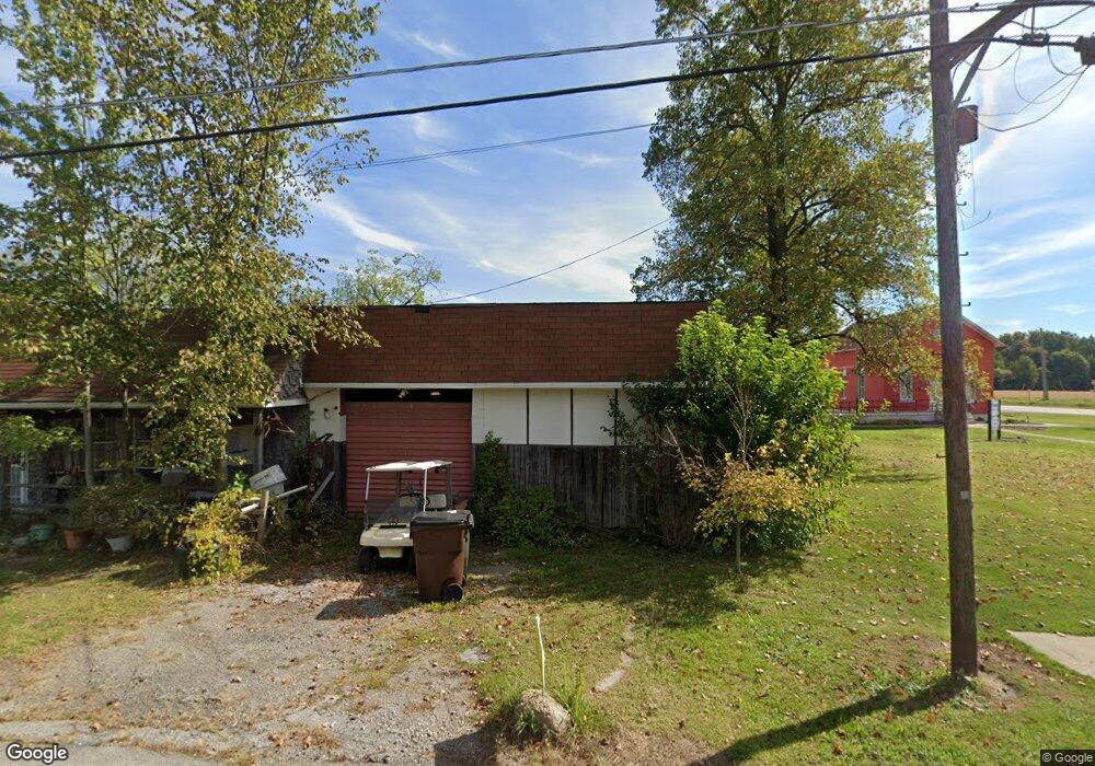
21941 State Route 511 Wellington, OH 44090
Estimated Value: $193,681 - $290,000
2
Beds
1
Bath
2,180
Sq Ft
$107/Sq Ft
Est. Value
About This Home
This home is located at 21941 State Route 511, Wellington, OH 44090 and is currently estimated at $232,670, approximately $106 per square foot. 21941 State Route 511 is a home located in Lorain County with nearby schools including Westwood Elementary School, McCormick Middle School, and Wellington High School.
Ownership History
Date
Name
Owned For
Owner Type
Purchase Details
Closed on
Aug 30, 2023
Sold by
Vargo Margie A
Bought by
Vargo Anthony S
Current Estimated Value
Purchase Details
Closed on
Mar 15, 2011
Sold by
Koutsopoulos Diana L and Clausen Diana L
Bought by
Vargo Gary S and Vargo Margie A
Create a Home Valuation Report for This Property
The Home Valuation Report is an in-depth analysis detailing your home's value as well as a comparison with similar homes in the area
Home Values in the Area
Average Home Value in this Area
Purchase History
| Date | Buyer | Sale Price | Title Company |
|---|---|---|---|
| Vargo Anthony S | -- | None Listed On Document | |
| Vargo Gary S | $31,000 | Attorney |
Source: Public Records
Tax History Compared to Growth
Tax History
| Year | Tax Paid | Tax Assessment Tax Assessment Total Assessment is a certain percentage of the fair market value that is determined by local assessors to be the total taxable value of land and additions on the property. | Land | Improvement |
|---|---|---|---|---|
| 2024 | $2,068 | $48,906 | $13,094 | $35,812 |
| 2023 | $659 | $22,365 | $13,083 | $9,282 |
| 2022 | $670 | $22,365 | $13,083 | $9,282 |
| 2021 | $669 | $22,365 | $13,083 | $9,282 |
| 2020 | $537 | $18,770 | $10,980 | $7,790 |
| 2019 | $528 | $18,770 | $10,980 | $7,790 |
| 2018 | $505 | $18,770 | $10,980 | $7,790 |
| 2017 | $482 | $17,200 | $7,340 | $9,860 |
| 2016 | $481 | $17,200 | $7,340 | $9,860 |
| 2015 | $479 | $17,200 | $7,340 | $9,860 |
| 2014 | $493 | $17,630 | $7,530 | $10,100 |
| 2013 | $492 | $17,630 | $7,530 | $10,100 |
Source: Public Records
Map
Nearby Homes
- 22697 Gore Orphanage Rd
- 20303 Mosher Rd
- 20011 Gore Orphanage Rd
- 20765 Quarry Rd
- 0 Butler Rd N
- 52025 Betts Rd
- 202 S State St
- 18315 Gifford Rd
- 21251 Pitts Rd
- 18233 Quarry Rd
- 111 S Mill St
- 1491 Vesta Rd
- 0 Peck Wadsworth Rd
- 816 Butler Rd S
- 220 Woodland St
- 428 Prospect St
- 115 Vine St
- 112 Vine St
- 238 Reserve Cir
- 208 Jones Rd
- 21861 State Route 511
- 21837 State Route 511
- 21938 State Route 511
- 21840 State Route 511
- 21799 State Route 511
- 50991 State Route 18
- 51110 State Route 18
- 51075 State Route 18
- 21750 State Route 511
- 22088 State Route 511
- 51116 Ohio 18
- 51116 State Route 18
- 21655 State Route 511
- 50850 State Route 18
- 50802 State Route 18
- 21650 State Route 511
- 50802 Ohio 18
- 51215 State Route 18
- 22190 State Route 511
- 51273 State Route 18