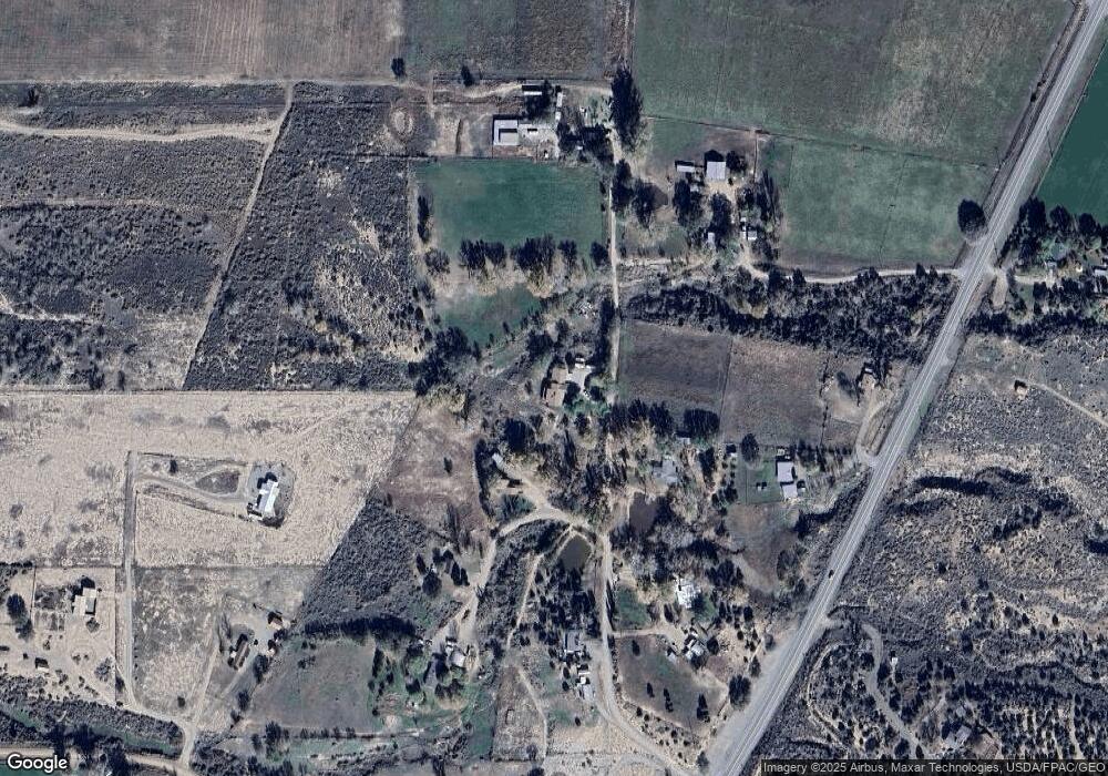
21943 Road C.1 Cortez, CO 81321
Estimated Value: $349,000 - $603,000
5
Beds
3
Baths
2,480
Sq Ft
$178/Sq Ft
Est. Value
About This Home
This home is located at 21943 Road C.1, Cortez, CO 81321 and is currently estimated at $442,388, approximately $178 per square foot. 21943 Road C.1 is a home located in Montezuma County with nearby schools including Montezuma-Cortez High School.
Ownership History
Date
Name
Owned For
Owner Type
Purchase Details
Closed on
Jul 10, 2025
Sold by
Rogers Leslie W
Bought by
Leslie William Rogers And Lois Ladawn Rogers
Current Estimated Value
Purchase Details
Closed on
Nov 29, 2012
Sold by
Fannie Mae
Bought by
Rogers Leslie W
Home Financials for this Owner
Home Financials are based on the most recent Mortgage that was taken out on this home.
Original Mortgage
$202,465
Interest Rate
3.5%
Mortgage Type
FHA
Purchase Details
Closed on
Feb 16, 2012
Sold by
Miller Jerry W
Bought by
Onewest Bank Fsb
Purchase Details
Closed on
Feb 7, 2012
Sold by
Onewest Bank Fsb
Bought by
Fannie Mae
Purchase Details
Closed on
May 24, 2004
Purchase Details
Closed on
May 7, 2004
Sold by
Rue Cheryl As Pr Of Girard J Doyon Esta
Bought by
Doyon Margurett J
Create a Home Valuation Report for This Property
The Home Valuation Report is an in-depth analysis detailing your home's value as well as a comparison with similar homes in the area
Home Values in the Area
Average Home Value in this Area
Purchase History
| Date | Buyer | Sale Price | Title Company |
|---|---|---|---|
| Leslie William Rogers And Lois Ladawn Rogers | -- | None Listed On Document | |
| Rogers Leslie W | $123,500 | None Available | |
| Onewest Bank Fsb | -- | None Available | |
| Fannie Mae | -- | None Available | |
| -- | -- | -- | |
| Doyon Margurett J | -- | -- |
Source: Public Records
Mortgage History
| Date | Status | Borrower | Loan Amount |
|---|---|---|---|
| Previous Owner | Rogers Leslie W | $202,465 |
Source: Public Records
Tax History Compared to Growth
Tax History
| Year | Tax Paid | Tax Assessment Tax Assessment Total Assessment is a certain percentage of the fair market value that is determined by local assessors to be the total taxable value of land and additions on the property. | Land | Improvement |
|---|---|---|---|---|
| 2024 | $1,215 | $23,577 | $2,191 | $21,386 |
| 2023 | $1,215 | $27,955 | $2,598 | $25,357 |
| 2022 | $1,044 | $21,504 | $2,598 | $18,906 |
| 2021 | $1,063 | $21,504 | $2,598 | $18,906 |
| 2020 | $1,043 | $21,860 | $2,598 | $19,262 |
| 2019 | $1,040 | $21,860 | $2,598 | $19,262 |
| 2018 | $1,141 | $20,740 | $2,350 | $18,390 |
| 2017 | $1,129 | $20,740 | $2,350 | $18,390 |
| 2016 | $1,016 | $19,070 | $2,600 | $16,470 |
| 2015 | $1,004 | $277,680 | $0 | $0 |
| 2014 | $980 | $19,070 | $0 | $0 |
Source: Public Records
Map
Nearby Homes
- 22088 Road C 1
- 21043 Road C 7
- 2161 Highway 160 491
- 20975 Road b
- 5200 Road 21
- 5178 Hwy 160-491
- 21424 Road F
- 6066 Road 21
- 6493 County Road 23 6
- 6597 Road 24
- 22989 Road G 5
- 24293 Road G
- 18261 Road G
- 617 Apple Dr
- 706 Apple Dr
- 623 Detroit Ave
- 915 S Broadway
- 23848 J 3 Rd
- TBD Chisholm Pl & Jarrett Ave
- TBD Jarrett Ave
- 0 Road C 1 Unit 739979
- 0 Road C 1 Unit 738712
- 0 Road C 1 Unit 730731
- 0 Road C 1 Unit 619776
- 0 Road C 1 Unit 638895
- 0 Road C 1 Unit 650915
- 0 Road C 1 Unit 666932
- 0 Road C 1 Unit 704896
- 0 Road C 1 Unit 726641
- 22009 Road C.1
- 21937 Road C.1
- 21960 Road C.1
- 0 Hwy 491 160 Unit 611951
- 21775 Road c
- 3108 Highway 160-491
- 3113 Hwy 491 160
- 3113 Highway 160-491
- 21741 Road c
- 3190 Highway 160-491
- 3450 Highway 160-491
