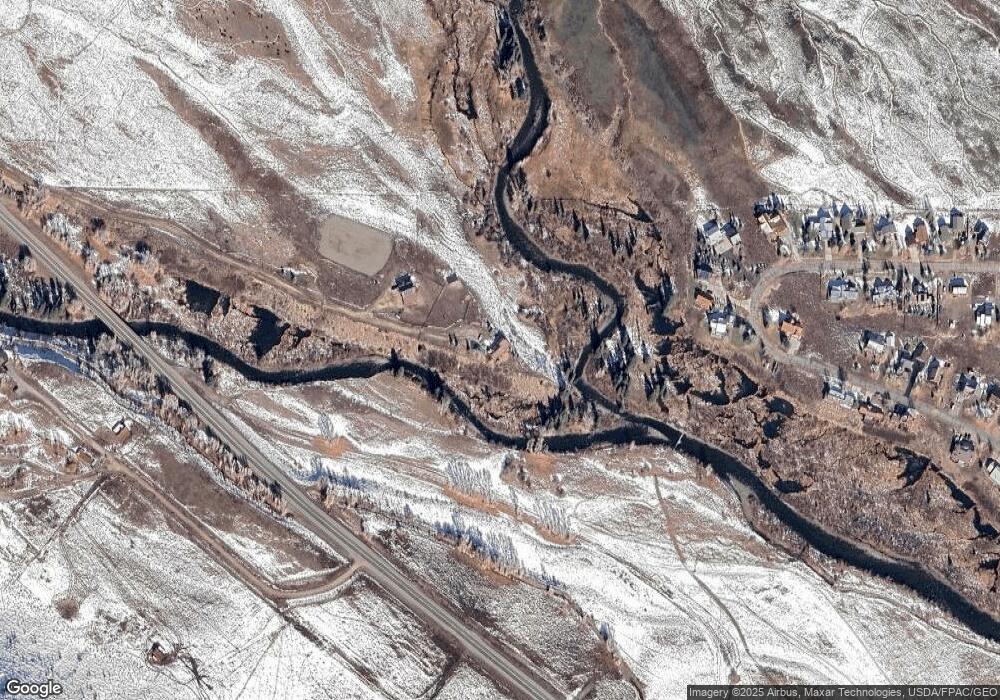
21946 State Highway 135 Crested Butte, CO 81224
Estimated Value: $1,402,000 - $2,348,000
3
Beds
4
Baths
2,083
Sq Ft
$808/Sq Ft
Est. Value
About This Home
This home is located at 21946 State Highway 135, Crested Butte, CO 81224 and is currently estimated at $1,682,656, approximately $807 per square foot. 21946 State Highway 135 is a home with nearby schools including Gunnison Elementary School, Crested Butte Community School, and Gunnison Middle School.
Ownership History
Date
Name
Owned For
Owner Type
Purchase Details
Closed on
Apr 11, 2025
Sold by
Niccoli Robert Charles
Bought by
Sherry And Robert Niccoli Family Trust and Niccoli
Current Estimated Value
Purchase Details
Closed on
Feb 13, 2024
Sold by
Benson M Catherine
Bought by
M Catherine Benson Trust
Purchase Details
Closed on
Feb 3, 2000
Sold by
Crested Butte Confluence Inc
Bought by
Benson M Catherine
Purchase Details
Closed on
Aug 9, 1999
Sold by
Rouse Joseph G
Bought by
Crested Butte Confluence Inc
Purchase Details
Closed on
Apr 29, 1999
Sold by
Benson M Catherine
Bought by
Rous Joseph G
Purchase Details
Closed on
Oct 9, 1995
Create a Home Valuation Report for This Property
The Home Valuation Report is an in-depth analysis detailing your home's value as well as a comparison with similar homes in the area
Home Values in the Area
Average Home Value in this Area
Purchase History
| Date | Buyer | Sale Price | Title Company |
|---|---|---|---|
| Sherry And Robert Niccoli Family Trust | -- | None Listed On Document | |
| M Catherine Benson Trust | -- | None Listed On Document | |
| M Catherine Benson Trust | -- | None Listed On Document | |
| Benson M Catherine | -- | -- | |
| Crested Butte Confluence Inc | $550,000 | -- | |
| Rous Joseph G | -- | -- | |
| -- | $225,000 | -- |
Source: Public Records
Tax History Compared to Growth
Tax History
| Year | Tax Paid | Tax Assessment Tax Assessment Total Assessment is a certain percentage of the fair market value that is determined by local assessors to be the total taxable value of land and additions on the property. | Land | Improvement |
|---|---|---|---|---|
| 2024 | $4,973 | $92,490 | $17,500 | $74,990 |
| 2023 | $4,973 | $82,110 | $15,540 | $66,570 |
| 2022 | $2,518 | $37,020 | $5,500 | $31,520 |
| 2021 | $1,842 | $31,430 | $60 | $31,370 |
| 2020 | $1,957 | $33,750 | $60 | $33,690 |
| 2019 | $1,913 | $33,750 | $60 | $33,690 |
| 2018 | $2,076 | $35,390 | $60 | $35,330 |
| 2017 | $0 | $35,390 | $60 | $35,330 |
| 2016 | $1,763 | $31,690 | $60 | $31,630 |
| 2015 | $887 | $31,690 | $60 | $31,630 |
| 2014 | $887 | $31,460 | $50 | $31,410 |
Source: Public Records
Map
Nearby Homes
- 21689 Colorado 135
- 665 Shavano St
- 256 Shavano St
- 221 Escalante St
- 182 Escalante St
- 172 Escalante St
- 162 Escalante St
- 407 Cascadilla St
- 244 Teocalli Rd
- 389 Meadow Dr
- 351 Meadow Dr
- 375 Saddle Ridge Ranch Rd
- 525 Saddle Ridge Ranch Rd
- 503 Red Lady Ave Unit 102 & 103
- 503 Red Lady Ave Unit 103
- 252 Cascadilla St
- 684 Zeligman St
- 733 Zeligman St
- 10 Huckeby Way
- 252 Zeligman St
- 0 State Hwy 135 Upper East River Valley Unit 796672
- 21500 Colorado 135
- 522 Shavano St
- 502 Shavano St
- 540 Shavano St
- 479 Shavano St
- 560 Shavano St
- 555 Shavano St
- 445 Shavano St
- 426 Shavano St
- 578 Shavano St
- 589 Shavano St Unit CB TV Channel 10
- 589 Shavano St
- 598 Shavano St
- 408 Shavano St
- 413 Shavano St Unit Lot 9, Block 14, 2nd
- 621 Shavano St
- 21681 & 21689 State Highway 135 Hwy
- 21689 State Highway 135
- 616 Shavano St
