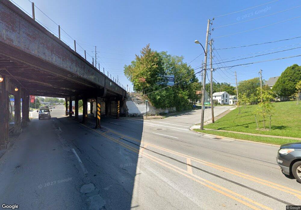
21949 Rear Land Rd Elyria, OH 44035
Estimated Value: $82,000 - $231,000
--
Bed
--
Bath
--
Sq Ft
0.78
Acres
About This Home
This home is located at 21949 Rear Land Rd, Elyria, OH 44035 and is currently estimated at $142,000. 21949 Rear Land Rd is a home with nearby schools including Crestwood Elementary School, Westwood Middle School, and Elyria High School.
Ownership History
Date
Name
Owned For
Owner Type
Purchase Details
Closed on
Jun 29, 2022
Sold by
Powell Lillie R and Powell Joe H
Bought by
Powell Joe H
Current Estimated Value
Purchase Details
Closed on
Mar 16, 1987
Sold by
Powell Joseph H and Powell Lillie R
Bought by
Powell Joe H and Powell Lillie R
Home Financials for this Owner
Home Financials are based on the most recent Mortgage that was taken out on this home.
Original Mortgage
$153,500
Interest Rate
2.9%
Mortgage Type
New Conventional
Create a Home Valuation Report for This Property
The Home Valuation Report is an in-depth analysis detailing your home's value as well as a comparison with similar homes in the area
Home Values in the Area
Average Home Value in this Area
Purchase History
| Date | Buyer | Sale Price | Title Company |
|---|---|---|---|
| Powell Joe H | -- | Lindsey John N | |
| Powell Joe H | -- | None Available |
Source: Public Records
Mortgage History
| Date | Status | Borrower | Loan Amount |
|---|---|---|---|
| Previous Owner | Powell Joe H | $153,500 |
Source: Public Records
Tax History Compared to Growth
Tax History
| Year | Tax Paid | Tax Assessment Tax Assessment Total Assessment is a certain percentage of the fair market value that is determined by local assessors to be the total taxable value of land and additions on the property. | Land | Improvement |
|---|---|---|---|---|
| 2024 | $27 | $490 | $490 | -- |
| 2023 | $143 | $2,058 | $2,058 | $0 |
| 2022 | $143 | $2,058 | $2,058 | $0 |
| 2021 | $135 | $2,058 | $2,058 | $0 |
| 2020 | $115 | $1,690 | $1,690 | $0 |
| 2019 | $114 | $1,690 | $1,690 | $0 |
| 2018 | $117 | $1,690 | $1,690 | $0 |
| 2017 | $120 | $1,690 | $1,690 | $0 |
| 2016 | $116 | $1,690 | $1,690 | $0 |
| 2015 | $109 | $1,690 | $1,690 | $0 |
| 2014 | $111 | $1,740 | $1,740 | $0 |
| 2013 | $107 | $1,740 | $1,740 | $0 |
Source: Public Records
Map
Nearby Homes
- 42937 Crestlane Dr
- 7018 Freeland Dr
- 43304 Dellefield Rd
- 42567 Adelbert St
- 41972 Griswold Rd
- 41827 Griswold Rd
- 6635 Lake Ave
- 529 Bayberry Rd
- 41796 Adelbert St
- 6321 Baldwin Blvd
- 43995 Middle Ridge Rd
- 6328 Baldwin Blvd
- 0 Appleseed Dr
- 42190 Helen St
- 1250 Bell Ct
- 1735 Lake Ave
- V/L N Ridge Rd
- 624 Mallard Dr
- 153 Sheriff St
- 41957 N Ridge Rd
- 42926 Crestlane Dr
- 42910 Crestlane Dr
- 42872 Crestlane Dr
- 42940 Crestlane Dr
- 42968 Crestlane Dr
- 42856 Crestlane Dr
- 42980 Crestlane Dr
- 42840/42846 Crestlane Dr
- 42925 Crestlane Dr
- 42915 Crestlane Dr
- 42951 Crestlane Dr
- 42891 Crestlane Dr
- 42963 Crestlane Dr
- 42857 Crestlane Dr
- 42826 Crestlane Dr
- 42975 Crestlane Dr
- 42843 Crestlane Dr
- 43002 Crestlane Dr
- 42987 Crestlane Dr
- 42910 Haven Dr
