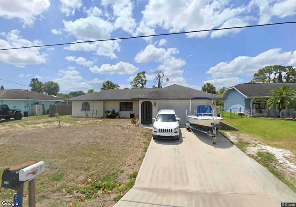
2195 Cannolot Blvd Port Charlotte, FL 33948
Estimated Value: $272,000 - $325,000
3
Beds
2
Baths
1,441
Sq Ft
$207/Sq Ft
Est. Value
About This Home
This home is located at 2195 Cannolot Blvd, Port Charlotte, FL 33948 and is currently estimated at $298,040, approximately $206 per square foot. 2195 Cannolot Blvd is a home located in Charlotte County with nearby schools including Liberty Elementary School, Murdock Middle School, and Port Charlotte High School.
Ownership History
Date
Name
Owned For
Owner Type
Purchase Details
Closed on
Oct 21, 2011
Sold by
Platt Michael H and Platt Auline
Bought by
Zajac Steven
Current Estimated Value
Purchase Details
Closed on
Aug 10, 1995
Sold by
Carson Colleen P
Bought by
Ello Rolando A and Ello Cresencia M
Home Financials for this Owner
Home Financials are based on the most recent Mortgage that was taken out on this home.
Original Mortgage
$72,000
Interest Rate
7.48%
Create a Home Valuation Report for This Property
The Home Valuation Report is an in-depth analysis detailing your home's value as well as a comparison with similar homes in the area
Home Values in the Area
Average Home Value in this Area
Purchase History
| Date | Buyer | Sale Price | Title Company |
|---|---|---|---|
| Zajac Steven | $88,000 | None Available | |
| Ello Rolando A | $90,000 | -- |
Source: Public Records
Mortgage History
| Date | Status | Borrower | Loan Amount |
|---|---|---|---|
| Previous Owner | Ello Rolando A | $72,000 |
Source: Public Records
Tax History Compared to Growth
Tax History
| Year | Tax Paid | Tax Assessment Tax Assessment Total Assessment is a certain percentage of the fair market value that is determined by local assessors to be the total taxable value of land and additions on the property. | Land | Improvement |
|---|---|---|---|---|
| 2023 | $2,130 | $128,675 | $0 | $0 |
| 2022 | $2,039 | $124,927 | $0 | $0 |
| 2021 | $2,024 | $121,288 | $0 | $0 |
| 2020 | $1,975 | $119,613 | $0 | $0 |
| 2019 | $1,886 | $116,924 | $0 | $0 |
| 2018 | $1,729 | $114,744 | $0 | $0 |
| 2017 | $1,707 | $112,384 | $0 | $0 |
| 2016 | $1,692 | $110,072 | $0 | $0 |
| 2015 | $1,680 | $109,307 | $0 | $0 |
| 2014 | $1,654 | $108,439 | $0 | $0 |
Source: Public Records
Map
Nearby Homes
- 2059 Cannolot Blvd
- 2051 Cannolot Blvd
- 18275 Troon Ave
- 18316 Monmouth Ave
- 18323 Troon Ave
- 2123 Cannolot Blvd
- 2267 Cannolot Blvd
- 18323 Yale Ave
- 2113 Barksdale St
- 18161 Windswept Ave
- 2281 Barksdale St
- 2145 Winningway St
- 18088 Windingvail Ave
- 18183 Windingvail Ave
- 2072 Barksdale St
- 18071 Windswept Ave
- 2083 Leisure St
- 2399 Bendway Dr
- 2331 Cannolot Blvd
- 2082 Winningway St
- 2187 Cannolot Blvd
- 2203 Cannolot Blvd
- 18291 Yale Ave
- 2179 Cannolot Blvd
- 2211 Cannolot Blvd
- 18268 Yale Ave
- 2204 Cannolot Blvd
- 2184 Barksdale St
- 2200 Barksdale St
- 2171 Cannolot Blvd
- 2219 Cannolot Blvd
- 18276 Yale Ave
- 2172 Cannolot Blvd
- 2176 Barksdale St
- 2051 & 2059 Cannolot Blvd
- 2019 Cannolot Blvd
- 2139 Cannolot Blvd
- 18276 Monmouth Ave
- 2163 Cannolot Blvd
- 2168 Barksdale St