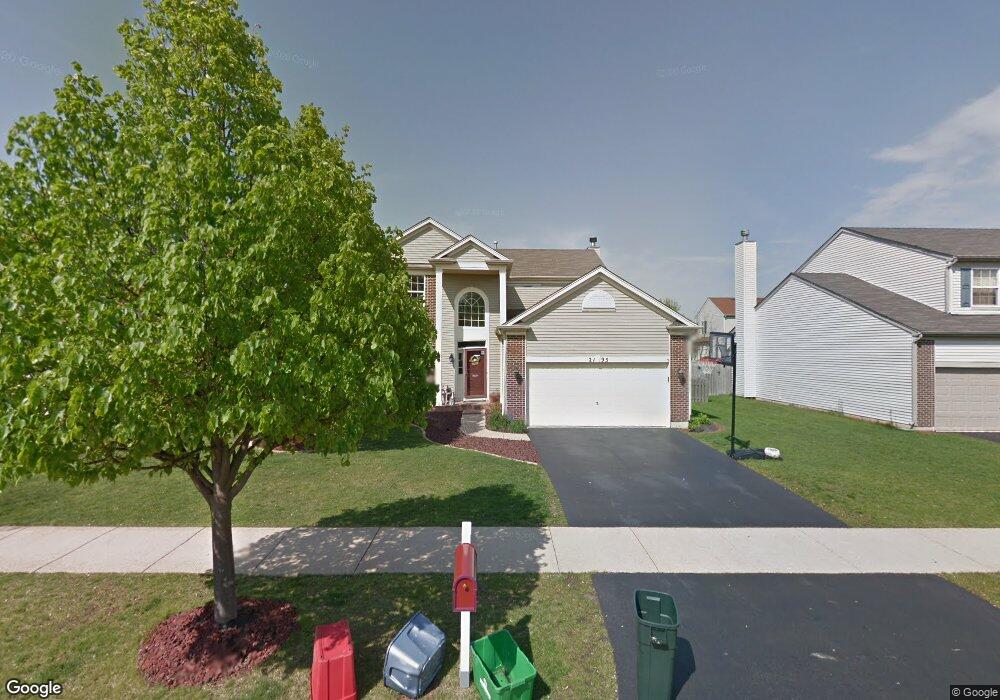
2195 Ione Ln Aurora, IL 60503
Far Southeast NeighborhoodEstimated Value: $448,000 - $454,889
3
Beds
3
Baths
2,292
Sq Ft
$197/Sq Ft
Est. Value
About This Home
This home is located at 2195 Ione Ln, Aurora, IL 60503 and is currently estimated at $451,630, approximately $197 per square foot. 2195 Ione Ln is a home located in Kendall County with nearby schools including The Wheatlands Elementary School, Bednarcik Jr. High School, and Oswego East High School.
Ownership History
Date
Name
Owned For
Owner Type
Purchase Details
Closed on
Oct 13, 2006
Sold by
Skelley Terence P and Skelley Tina M
Bought by
Whitney Thomas D and Whitney Stephanie M
Current Estimated Value
Home Financials for this Owner
Home Financials are based on the most recent Mortgage that was taken out on this home.
Original Mortgage
$65,000
Outstanding Balance
$37,967
Interest Rate
6.36%
Mortgage Type
New Conventional
Estimated Equity
$413,663
Purchase Details
Closed on
Sep 25, 2001
Sold by
Wheatland Single Family Llc
Bought by
Skelley Terence P and Skelley Tina M
Home Financials for this Owner
Home Financials are based on the most recent Mortgage that was taken out on this home.
Original Mortgage
$130,675
Interest Rate
6.62%
Create a Home Valuation Report for This Property
The Home Valuation Report is an in-depth analysis detailing your home's value as well as a comparison with similar homes in the area
Home Values in the Area
Average Home Value in this Area
Purchase History
| Date | Buyer | Sale Price | Title Company |
|---|---|---|---|
| Whitney Thomas D | $265,000 | Rtc | |
| Skelley Terence P | $226,000 | -- |
Source: Public Records
Mortgage History
| Date | Status | Borrower | Loan Amount |
|---|---|---|---|
| Open | Whitney Thomas D | $65,000 | |
| Previous Owner | Skelley Terence P | $130,675 |
Source: Public Records
Tax History
| Year | Tax Paid | Tax Assessment Tax Assessment Total Assessment is a certain percentage of the fair market value that is determined by local assessors to be the total taxable value of land and additions on the property. | Land | Improvement |
|---|---|---|---|---|
| 2024 | $10,475 | $123,897 | $29,663 | $94,234 |
| 2023 | $9,712 | $109,643 | $26,250 | $83,393 |
| 2022 | $9,712 | $102,470 | $24,533 | $77,937 |
| 2021 | $9,386 | $95,766 | $22,928 | $72,838 |
| 2020 | $9,299 | $93,888 | $22,478 | $71,410 |
| 2019 | $9,756 | $96,097 | $22,478 | $73,619 |
| 2018 | $9,152 | $88,122 | $20,613 | $67,509 |
| 2017 | $8,878 | $81,218 | $18,998 | $62,220 |
| 2016 | $8,517 | $76,984 | $18,008 | $58,976 |
| 2015 | $8,221 | $71,281 | $16,674 | $54,607 |
| 2014 | -- | $67,246 | $15,730 | $51,516 |
| 2013 | -- | $67,925 | $15,889 | $52,036 |
Source: Public Records
Map
Nearby Homes
- 1850 Wisteria Dr Unit 343
- 1875 Keating Dr
- 1874 Keating Dr
- 1871 Keating Dr
- 1868 Keating Dr
- 1866 Keating Dr
- 1862 Keating Dr
- 1859 Keating Dr
- 1858 Keating Dr
- 1855 Keating Dr
- 2100 Hammel Ave
- 1966 Congrove Dr
- 1900 Canyon Creek Dr
- 1959 Misty Ridge Ct Unit 15
- 1975 Misty Ridge Ct Unit 1-1
- 1782 Montrose Dr
- 1703 Baler Ave
- 1734 Baler Ave
- 1722 Baler Ave
- 1721 Stable Ln
Your Personal Tour Guide
Ask me questions while you tour the home.