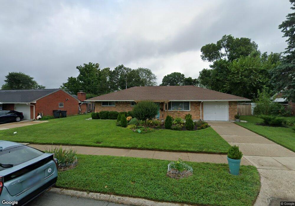
2195 Owendale Dr Dayton, OH 45439
Woodbourne-Hyde Park NeighborhoodEstimated Value: $182,000 - $196,000
3
Beds
1
Bath
1,080
Sq Ft
$175/Sq Ft
Est. Value
About This Home
This home is located at 2195 Owendale Dr, Dayton, OH 45439 and is currently estimated at $188,857, approximately $174 per square foot. 2195 Owendale Dr is a home located in Montgomery County with nearby schools including West Carrollton High School, Miami Valley Academies, and St. Albert the Great Catholic School.
Ownership History
Date
Name
Owned For
Owner Type
Purchase Details
Closed on
May 12, 2022
Sold by
Marie Snader Eulah
Bought by
Santiago Marcus and Santiago Nathalie
Current Estimated Value
Home Financials for this Owner
Home Financials are based on the most recent Mortgage that was taken out on this home.
Original Mortgage
$128,000
Outstanding Balance
$121,651
Interest Rate
5.3%
Mortgage Type
New Conventional
Estimated Equity
$67,206
Purchase Details
Closed on
Apr 30, 2012
Sold by
Wright Robert L
Bought by
Snader Jimmie and Snader Eulah Marie
Home Financials for this Owner
Home Financials are based on the most recent Mortgage that was taken out on this home.
Original Mortgage
$45,000
Interest Rate
4.08%
Mortgage Type
Future Advance Clause Open End Mortgage
Purchase Details
Closed on
Aug 12, 2005
Sold by
Wright Robert L
Bought by
Wright Robert L
Create a Home Valuation Report for This Property
The Home Valuation Report is an in-depth analysis detailing your home's value as well as a comparison with similar homes in the area
Home Values in the Area
Average Home Value in this Area
Purchase History
| Date | Buyer | Sale Price | Title Company |
|---|---|---|---|
| Santiago Marcus | $11,333 | Mantica Christopher J | |
| Snader Jimmie | $56,300 | None Available | |
| Wright Robert L | -- | -- |
Source: Public Records
Mortgage History
| Date | Status | Borrower | Loan Amount |
|---|---|---|---|
| Open | Santiago Marcus | $128,000 | |
| Previous Owner | Snader Jimmie | $45,000 |
Source: Public Records
Tax History Compared to Growth
Tax History
| Year | Tax Paid | Tax Assessment Tax Assessment Total Assessment is a certain percentage of the fair market value that is determined by local assessors to be the total taxable value of land and additions on the property. | Land | Improvement |
|---|---|---|---|---|
| 2024 | $2,975 | $41,540 | $7,820 | $33,720 |
| 2023 | $2,975 | $41,540 | $7,820 | $33,720 |
| 2022 | $2,599 | $27,880 | $5,250 | $22,630 |
| 2021 | $2,399 | $27,880 | $5,250 | $22,630 |
| 2020 | $2,405 | $27,880 | $5,250 | $22,630 |
| 2019 | $2,469 | $25,060 | $5,250 | $19,810 |
| 2018 | $2,313 | $25,060 | $5,250 | $19,810 |
| 2017 | $2,301 | $25,060 | $5,250 | $19,810 |
| 2016 | $2,336 | $24,610 | $5,250 | $19,360 |
| 2015 | $2,177 | $24,610 | $5,250 | $19,360 |
| 2014 | $2,177 | $24,610 | $5,250 | $19,360 |
| 2012 | -- | $25,930 | $7,000 | $18,930 |
Source: Public Records
Map
Nearby Homes
- 2090 Mattis Dr
- 1692 Hillwood Dr
- 1673 W Stroop Rd
- 4051 Ellery Ave
- 4207 S Dixie Dr
- 4301 Tait Rd
- 1952 Tait Circle Rd
- 1905 Tait Circle Rd
- 4629 Richwood Dr
- 4661 Richwood Dr
- 2639 Blanchard Ave
- 2050 William Ln
- 2571 Cluster Ave
- 4792 Loxley Dr
- 3720 Ridgeleigh Rd Unit D
- 5084 Mays Ave
- 1955 Kresswood Cir
- 1349 Tamerlane Rd
- 2399 Polo Park Dr
- 4400 Royal Ridge Way
- 2181 Owendale Dr
- 2207 Owendale Dr
- 2182 Mattis Dr
- 2168 Mattis Dr
- 2196 Mattis Dr
- 2167 Owendale Dr
- 2221 Owendale Dr
- 2196 Owendale Dr
- 2182 Owendale Dr
- 2210 Owendale Dr
- 2154 Mattis Dr
- 2210 Mattis Dr
- 2170 Owendale Dr
- 2224 Owendale Dr
- 2153 Owendale Dr
- 2235 Owendale Dr
- 2142 Mattis Dr
- 2226 Mattis Dr
- 2181 Mattis Dr
- 2156 Owendale Dr