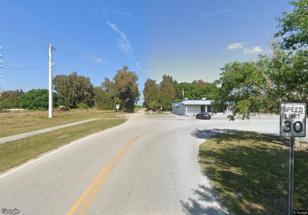
21950 SW Palm Way Indiantown, FL 34956
Estimated Value: $410,000 - $1,759,000
--
Bed
--
Bath
--
Sq Ft
20.58
Acres
About This Home
This home is located at 21950 SW Palm Way, Indiantown, FL 34956 and is currently estimated at $844,779. 21950 SW Palm Way is a home located in Martin County with nearby schools including Warfield Elementary School, Indiantown Middle School, and South Fork High School.
Ownership History
Date
Name
Owned For
Owner Type
Purchase Details
Closed on
Apr 30, 2013
Sold by
Triwater Llc
Bought by
Ricks Sail N and Ricks Sarah Quigley
Current Estimated Value
Home Financials for this Owner
Home Financials are based on the most recent Mortgage that was taken out on this home.
Original Mortgage
$286,300
Outstanding Balance
$63,282
Interest Rate
4.87%
Mortgage Type
New Conventional
Estimated Equity
$781,497
Purchase Details
Closed on
Nov 9, 2012
Sold by
Maya Llc
Bought by
Ricks Sail N & Sarah Quigley
Create a Home Valuation Report for This Property
The Home Valuation Report is an in-depth analysis detailing your home's value as well as a comparison with similar homes in the area
Home Values in the Area
Average Home Value in this Area
Purchase History
| Date | Buyer | Sale Price | Title Company |
|---|---|---|---|
| Ricks Sail N | $409,000 | Attorney | |
| Ricks Sail N & Sarah Quigley | $975,000 | -- |
Source: Public Records
Mortgage History
| Date | Status | Borrower | Loan Amount |
|---|---|---|---|
| Open | Ricks Sail N | $286,300 |
Source: Public Records
Tax History Compared to Growth
Tax History
| Year | Tax Paid | Tax Assessment Tax Assessment Total Assessment is a certain percentage of the fair market value that is determined by local assessors to be the total taxable value of land and additions on the property. | Land | Improvement |
|---|---|---|---|---|
| 2025 | $9,030 | $706,363 | -- | -- |
| 2024 | $7,257 | $523,480 | $523,480 | $163,330 |
| 2023 | $7,257 | $435,710 | $435,710 | $106,430 |
| 2022 | $6,170 | $371,180 | $304,580 | $66,600 |
| 2021 | $4,842 | $279,890 | $279,890 | $0 |
| 2020 | $3,122 | $179,050 | $179,050 | $0 |
| 2019 | $2,872 | $162,580 | $162,580 | $0 |
| 2018 | $2,813 | $162,580 | $162,580 | $0 |
| 2017 | $2,429 | $144,060 | $144,060 | $0 |
| 2016 | $2,379 | $139,940 | $139,940 | $0 |
| 2015 | -- | $139,940 | $139,940 | $0 |
| 2014 | -- | $139,940 | $139,940 | $0 |
Source: Public Records
Map
Nearby Homes
- 20601 SW Warfield Blvd
- 14745 SW 174th Ct
- 14699 SW Doctor Martin L King Junior Dr
- 14847 SW 170th Ave
- 14766 SW 169th Dr
- 14597 SW 170th Ave
- 23501 SW Cardamine St
- 16750 SW Conners Hwy
- 10790 SW Amaryllis Ave
- 10500 SW Amaryllis Ave
- 14338 SW Rain Rd
- 14336 SW Rain Rd
- 14337 SW Rain Rd
- 14330 SW Rain Rd
- 14329 Rain Rd
- 23993 SW Cardamine St
- 14230 SW Rain Rd
- 15800 SW Conners Hwy
- 16228 SW Indianwood Cir
- 16237 SW Indianwood Cir