21954 Road I SW Mattawa, WA 99349
Estimated Value: $273,000 - $465,801
4
Beds
4
Baths
6,516
Sq Ft
$56/Sq Ft
Est. Value
About This Home
This home is located at 21954 Road I SW, Mattawa, WA 99349 and is currently estimated at $362,450, approximately $55 per square foot. 21954 Road I SW is a home located in Grant County with nearby schools including Wahluke High School.
Ownership History
Date
Name
Owned For
Owner Type
Purchase Details
Closed on
Jan 29, 2020
Sold by
Dobson Francis Roy and Dobson Sharon K
Bought by
Dobson Katie J and Dobson Francis Roy
Current Estimated Value
Home Financials for this Owner
Home Financials are based on the most recent Mortgage that was taken out on this home.
Original Mortgage
$120,000
Outstanding Balance
$81,645
Interest Rate
3.7%
Mortgage Type
New Conventional
Estimated Equity
$280,805
Create a Home Valuation Report for This Property
The Home Valuation Report is an in-depth analysis detailing your home's value as well as a comparison with similar homes in the area
Home Values in the Area
Average Home Value in this Area
Purchase History
| Date | Buyer | Sale Price | Title Company |
|---|---|---|---|
| Dobson Katie J | $150,000 | Stewart Title Company |
Source: Public Records
Mortgage History
| Date | Status | Borrower | Loan Amount |
|---|---|---|---|
| Open | Dobson Katie J | $120,000 |
Source: Public Records
Tax History Compared to Growth
Tax History
| Year | Tax Paid | Tax Assessment Tax Assessment Total Assessment is a certain percentage of the fair market value that is determined by local assessors to be the total taxable value of land and additions on the property. | Land | Improvement |
|---|---|---|---|---|
| 2025 | $2,739 | $279,681 | -- | -- |
| 2024 | $2,687 | $279,681 | $47,781 | $231,900 |
| 2023 | $1,901 | $189,875 | $47,780 | $142,095 |
| 2022 | $2,046 | $189,875 | $47,780 | $142,095 |
| 2021 | $2,727 | $189,875 | $47,780 | $142,095 |
| 2020 | $2,361 | $245,485 | $47,780 | $197,705 |
| 2019 | $2,689 | $230,700 | $30,240 | $200,460 |
| 2018 | $3,029 | $236,515 | $30,240 | $206,275 |
| 2017 | $2,538 | $211,150 | $30,240 | $180,910 |
| 2016 | $2,513 | $209,670 | $30,240 | $179,430 |
| 2013 | -- | $210,625 | $23,485 | $187,140 |
Source: Public Records
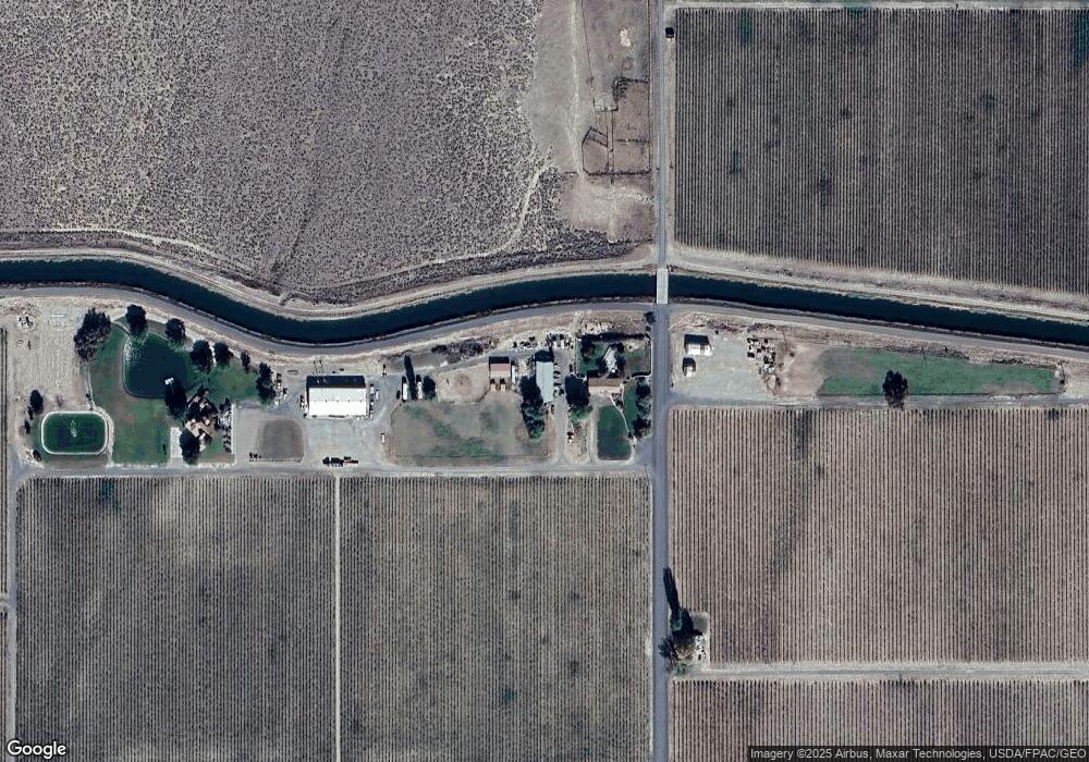
Map
Nearby Homes
- 0 Wahluke Rd SW
- 23547 Road K SW
- 0 Nka Road I SW
- Road 25 SW
- 0 25 Rd SW Unit NWM2431458
- 0 25 Rd SW Unit NWM2377644
- Unit 27 Block 26
- 0 Nka Road 27 Sw & Road P SW Unit NWM2459610
- 0 Red Rock Field Unit NWM2381752
- 0 Parcel 10 Road 13 6 SW
- 278 Calla Loop NW
- 224 Calla Loop NW
- 0 Lot 7 Poplar St
- 0 Lot 6 Karen Ave
- 0 Lot 10 Poplar St
- 0 Lot 28 Poplar St
- 0 Lot 18 Poplar St
- 0 Lot 11 Poplar St
- 0 Lot 21 Poplar St
- 0 Lot 24 Poplar St