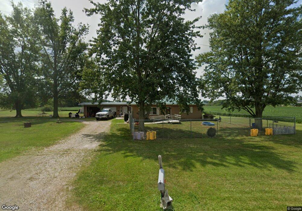
21963 State Route 347 Raymond, OH 43067
Estimated Value: $119,000 - $227,000
2
Beds
1
Bath
1,340
Sq Ft
$130/Sq Ft
Est. Value
About This Home
This home is located at 21963 State Route 347, Raymond, OH 43067 and is currently estimated at $174,761, approximately $130 per square foot. 21963 State Route 347 is a home located in Union County with nearby schools including Raymond Elementary School, Creekview Intermediate Elementary School, and Bunsold Middle School.
Ownership History
Date
Name
Owned For
Owner Type
Purchase Details
Closed on
Jan 26, 2011
Sold by
Stinemetz William K
Bought by
Stinemetz William K and John Stinemetz Trust
Current Estimated Value
Purchase Details
Closed on
Nov 23, 2010
Sold by
Brehm Dorothy L and Brehm Gerold E
Bought by
Stinemetz William K
Create a Home Valuation Report for This Property
The Home Valuation Report is an in-depth analysis detailing your home's value as well as a comparison with similar homes in the area
Home Values in the Area
Average Home Value in this Area
Purchase History
| Date | Buyer | Sale Price | Title Company |
|---|---|---|---|
| Stinemetz William K | -- | Attorney | |
| Stinemetz William K | $45,000 | Attorney |
Source: Public Records
Tax History Compared to Growth
Tax History
| Year | Tax Paid | Tax Assessment Tax Assessment Total Assessment is a certain percentage of the fair market value that is determined by local assessors to be the total taxable value of land and additions on the property. | Land | Improvement |
|---|---|---|---|---|
| 2024 | $1,723 | $37,380 | $10,840 | $26,540 |
| 2023 | $1,723 | $37,380 | $10,840 | $26,540 |
| 2022 | $1,697 | $37,380 | $10,840 | $26,540 |
| 2021 | $1,624 | $30,690 | $8,340 | $22,350 |
| 2020 | $1,556 | $30,690 | $8,340 | $22,350 |
| 2019 | $1,600 | $30,690 | $8,340 | $22,350 |
| 2018 | $1,281 | $22,840 | $6,790 | $16,050 |
| 2017 | $1,211 | $22,840 | $6,790 | $16,050 |
| 2016 | $1,207 | $22,840 | $6,790 | $16,050 |
| 2015 | $1,103 | $19,390 | $6,640 | $12,750 |
| 2014 | $1,083 | $19,390 | $6,640 | $12,750 |
| 2013 | $1,021 | $19,390 | $6,640 | $12,750 |
Source: Public Records
Map
Nearby Homes
- 21630 Main St
- 23156 State Route 739
- 0 Powder Lick Rd Unit 1016484
- 21875 Liberty Rd W
- 25400 Storms Rd
- 0 Liberty Rd W Unit 225028227
- 20971 Peoria Loop Rd
- 24097 Lunda Rd
- 24805 Rapp Dean Rd
- 25883 Lunda Rd
- 20499 Bear Swamp Rd
- 20350 Bear Swamp Rd
- 0 Johnson Rd Unit 225027964
- 0 Johnson Rd Unit 222024368
- 0 Johnson Rd Unit Lot 2 222024351
- 0 Benton Rd Unit Lot B 225022637
- 0 Benton Rd Unit Lot A 225022636
- 1299 Forest Edge Dr
- 1322 Forest Edge Dr
- 19250 Powder Lick Rd
- 21897 State Route 347
- 22037 State Route 347
- LOT 22 Ohio 347
- 21866 State Route 347
- 21849 State Route 347
- 21913 Ohio 347
- 21878 State Route 347 Unit ST
- 21829 State Route 347
- 21801 State Route 347
- 21801 Main St
- 21872 Main Peoria St
- 21796 State Route 347
- 21783 State Route 347
- 21783 Main St
- 21771 State Route 347
- 21774 State Route 347
- 21763 Main St
- 21761 Ohio 347
- 21764 Ohio 347
- 21751 State Route 347