Estimated Value: $201,000 - $276,868
3
Beds
3
Baths
2,712
Sq Ft
$87/Sq Ft
Est. Value
About This Home
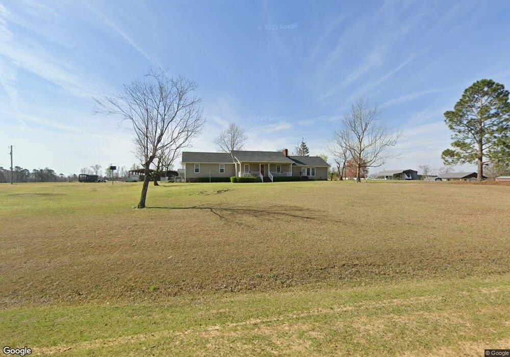
This home is located at 2197 Ga Highway 57 W, Kite, GA 31049 and is currently estimated at $237,217, approximately $87 per square foot. 2197 Ga Highway 57 W is a home located in Emanuel County with nearby schools including Swainsboro Primary School, Swainsboro Elementary School, and Swainsboro Middle School.
Ownership History
Date
Name
Owned For
Owner Type
Purchase Details
Closed on
Nov 12, 1999
Sold by
Meeks George Andrew
Bought by
Carter Henry A and Carter Kar
Current Estimated Value
Purchase Details
Closed on
Nov 22, 1996
Sold by
Meeks George Andrew
Bought by
Meeks George Andrew
Purchase Details
Closed on
Nov 1, 1991
Bought by
Meeks George Andrew
Purchase Details
Closed on
Mar 25, 1991
Bought by
Meeks Leann Powell
Create a Home Valuation Report for This Property
The Home Valuation Report is an in-depth analysis detailing your home's value as well as a comparison with similar homes in the area
Home Values in the Area
Average Home Value in this Area
Purchase History
| Date | Buyer | Sale Price | Title Company |
|---|---|---|---|
| Carter Henry A | $57,000 | -- | |
| Meeks George Andrew | -- | -- | |
| Meeks George Andrew | -- | -- | |
| Meeks Leann Powell | -- | -- |
Source: Public Records
Tax History Compared to Growth
Tax History
| Year | Tax Paid | Tax Assessment Tax Assessment Total Assessment is a certain percentage of the fair market value that is determined by local assessors to be the total taxable value of land and additions on the property. | Land | Improvement |
|---|---|---|---|---|
| 2024 | $2,277 | $81,784 | $2,838 | $78,946 |
| 2023 | $1,515 | $72,108 | $2,230 | $69,878 |
| 2022 | $1,761 | $65,892 | $2,230 | $63,662 |
| 2021 | $1,702 | $62,507 | $2,027 | $60,480 |
| 2020 | $2,129 | $73,923 | $3,992 | $69,931 |
| 2019 | $2,117 | $73,923 | $3,992 | $69,931 |
| 2018 | $2,127 | $73,923 | $3,992 | $69,931 |
| 2017 | $1,807 | $62,672 | $3,992 | $58,680 |
| 2016 | $1,750 | $62,672 | $3,992 | $58,680 |
| 2015 | -- | $62,672 | $3,992 | $58,680 |
| 2014 | -- | $61,942 | $3,992 | $57,950 |
| 2013 | -- | $60,238 | $3,983 | $56,254 |
Source: Public Records
Map
Nearby Homes
- 0 Asa Lindsey Rd Unit 10595336
- 0 Asa Lindsey Rd Unit 25496504
- 55 Hatcher St
- 2195 Montgomery St
- 53 Averett St
- 22 Jl Price Rd
- 728 Martin Rd
- 600 Alton Lawson Rd
- 400 Alton Lawson Rd
- 503 Alton Lawson Rd
- 0 Alton Lawson Rd
- 546 Alton Lawson Rd
- 87 Georgia Ave
- 0 Sardis Church Rd Unit 10601519
- 0 Trinity Church Rd
- 0 Old Wadley Rd Unit TRACT 9
- 0 Old Wadley Rd Unit TRACT 7
- 0 Old Wadley Rd Unit TRACT 10
- 143 Atkinson Dr
- 1016 Old Wadley Rd
- 2197 Georgia 57
- 2211 Ga Highway 57 W
- 1113 Bird Flanders Rd
- 1131 Bird Flanders Rd
- 8524 Pinetucky Rd
- 69 Flanders Rd
- 1060 Bird Flanders Rd
- 1060 Bird Flanders Rd
- 1693 Cow Ford Bridge Rd
- 1716 Cow Ford Bridge Rd
- 8483 Pinetucky Rd
- 2265 Ga Highway 57 W
- 8453 Pinetucky Rd
- 125 Flanders Rd
- 3 Bird Flanders Rd
- 78 Price Williams Rd
- 33 Price Williams Rd
- 2335 Ga Highway 57 W
- 2335 Georgia 57
- 28 Oak Chapel Rd