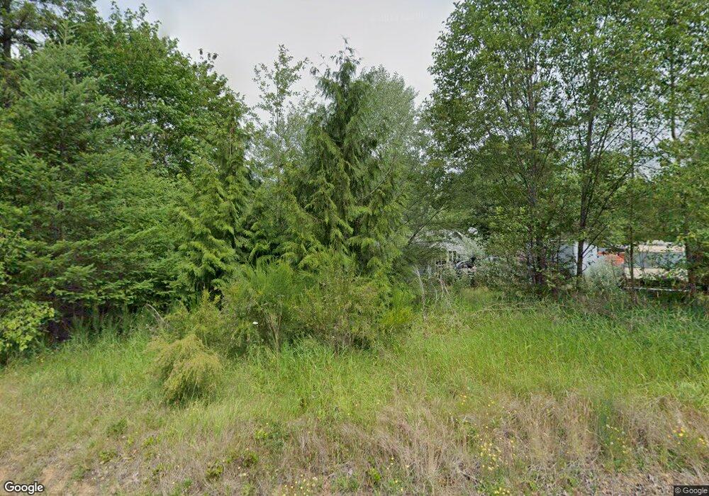
2197 Spencer Rd Salkum, WA 98582
Estimated Value: $386,080 - $616,000
3
Beds
2
Baths
1,940
Sq Ft
$271/Sq Ft
Est. Value
About This Home
This home is located at 2197 Spencer Rd, Salkum, WA 98582 and is currently estimated at $525,020, approximately $270 per square foot. 2197 Spencer Rd is a home located in Lewis County with nearby schools including Mossyrock Elementary School and Mossyrock Middle/High School.
Ownership History
Date
Name
Owned For
Owner Type
Purchase Details
Closed on
May 21, 2008
Sold by
Neilson Jeremy M and Neilson Traci L
Bought by
Gabrielson Jeffrey D
Current Estimated Value
Home Financials for this Owner
Home Financials are based on the most recent Mortgage that was taken out on this home.
Original Mortgage
$223,500
Outstanding Balance
$141,541
Interest Rate
5.88%
Mortgage Type
Construction
Estimated Equity
$383,479
Purchase Details
Closed on
Oct 1, 2003
Sold by
Worden David E and Worden Annette W
Bought by
Neilson Jeremy M and Neilson Traci L
Create a Home Valuation Report for This Property
The Home Valuation Report is an in-depth analysis detailing your home's value as well as a comparison with similar homes in the area
Home Values in the Area
Average Home Value in this Area
Purchase History
| Date | Buyer | Sale Price | Title Company |
|---|---|---|---|
| Gabrielson Jeffrey D | $63,000 | Title Guaranty | |
| Neilson Jeremy M | -- | Title Guaranty |
Source: Public Records
Mortgage History
| Date | Status | Borrower | Loan Amount |
|---|---|---|---|
| Open | Gabrielson Jeffrey D | $223,500 |
Source: Public Records
Tax History Compared to Growth
Tax History
| Year | Tax Paid | Tax Assessment Tax Assessment Total Assessment is a certain percentage of the fair market value that is determined by local assessors to be the total taxable value of land and additions on the property. | Land | Improvement |
|---|---|---|---|---|
| 2025 | $2,784 | $166,600 | $111,400 | $55,200 |
| 2024 | $2,784 | $432,500 | $114,900 | $317,600 |
| 2023 | $2,900 | $435,900 | $84,700 | $351,200 |
| 2022 | $2,898 | $344,300 | $67,100 | $277,200 |
| 2021 | $2,795 | $344,300 | $67,100 | $277,200 |
| 2020 | $2,713 | $303,800 | $55,900 | $247,900 |
| 2019 | $2,542 | $274,500 | $55,900 | $218,600 |
| 2018 | $2,491 | $246,700 | $49,900 | $196,800 |
| 2017 | $2,249 | $220,300 | $48,500 | $171,800 |
| 2016 | $2,321 | $200,700 | $50,000 | $150,700 |
| 2015 | $2,215 | $206,200 | $55,500 | $150,700 |
| 2013 | $2,215 | $216,000 | $55,500 | $160,500 |
Source: Public Records
Map
Nearby Homes
- 171 Barrier Dr
- 0 Spencer Rd Unit 656997086
- 0 Spencer Rd Unit NWM2430880
- 152 Fuller Rd
- 109 View Point Dr
- 2484 Spencer Rd
- 245 Stowell Rd
- 2699 Us Highway 12
- 269 Kennedy Rd
- 1956 US Highway 12
- 1950 U S 12
- 2833a U S 12 Unit A
- 1654 Spencer Rd
- 170 Gershick Rd
- 2958 U S 12
- 0 Shanklin Rd Unit NWM2414157
- 124 Gilbert Rd S
- 0 View Ridge Rd Unit NWM2434545
- 401 Huntting Rd
- 132 Salem Plant Rd
- 151 Barrier Dr
- 139 Barrier Dr
- 2169 Spencer Rd
- 312 Fuller Rd
- 152 Barrier Dr
- 2426 Us Highway 12
- 2162 Spencer Rd
- 164 Barrier Dam Dr
- 142 Barrier Dr
- 130 Barrier Dr
- 164 Barrier Dr
- 2143 Spencer Rd
- 168 Barrier Dr
- 0 Spencer Rd Unit 1273478
- 0 Spencer Rd Unit 975814
- 0 Spencer Rd Unit 975807
- 0 Spencer Rd Unit 975794
- 0 Spencer Rd Unit 964714
- 0 Spencer Rd Unit 787665
- 0 Spencer Rd Unit 653394
