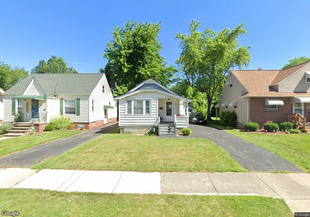
21971 Priday Ave Euclid, OH 44123
Estimated Value: $90,000 - $103,741
2
Beds
1
Bath
744
Sq Ft
$133/Sq Ft
Est. Value
About This Home
This home is located at 21971 Priday Ave, Euclid, OH 44123 and is currently estimated at $99,185, approximately $133 per square foot. 21971 Priday Ave is a home located in Cuyahoga County with nearby schools including Arbor Elementary School, Euclid Middle School, and Euclid High School.
Ownership History
Date
Name
Owned For
Owner Type
Purchase Details
Closed on
Jun 19, 2017
Sold by
City Of Euclid Land Reutilization Progra
Bought by
Thompson Adrian T
Current Estimated Value
Purchase Details
Closed on
May 6, 2015
Sold by
Roland Vivian
Bought by
City Of Euclid Land Reutilization Progra
Purchase Details
Closed on
Jun 30, 1983
Sold by
Vivian B Roland
Bought by
Roland Vivian B
Purchase Details
Closed on
Apr 2, 1982
Sold by
Lasinski John J
Bought by
Theodore John Lasky
Purchase Details
Closed on
Jan 1, 1975
Bought by
Lasinski John J
Create a Home Valuation Report for This Property
The Home Valuation Report is an in-depth analysis detailing your home's value as well as a comparison with similar homes in the area
Home Values in the Area
Average Home Value in this Area
Purchase History
| Date | Buyer | Sale Price | Title Company |
|---|---|---|---|
| Thompson Adrian T | -- | None Available | |
| City Of Euclid Land Reutilization Progra | -- | None Available | |
| Roland Vivian B | $16,500 | -- | |
| Theodore John Lasky | -- | -- | |
| Lasinski John J | -- | -- |
Source: Public Records
Tax History
| Year | Tax Paid | Tax Assessment Tax Assessment Total Assessment is a certain percentage of the fair market value that is determined by local assessors to be the total taxable value of land and additions on the property. | Land | Improvement |
|---|---|---|---|---|
| 2025 | $2,070 | $29,785 | $7,595 | $22,190 |
| 2024 | $1,996 | $29,785 | $7,595 | $22,190 |
| 2023 | $1,501 | $17,850 | $3,990 | $13,860 |
| 2022 | $1,466 | $17,850 | $3,990 | $13,860 |
| 2021 | $1,640 | $17,850 | $3,990 | $13,860 |
| 2020 | $1,446 | $13,510 | $3,010 | $10,500 |
| 2019 | $1,235 | $38,600 | $8,600 | $30,000 |
| 2018 | $615 | $13,510 | $3,010 | $10,500 |
| 2017 | $0 | $0 | $0 | $0 |
| 2016 | $455 | $0 | $0 | $0 |
| 2015 | -- | $13,510 | $3,010 | $10,500 |
| 2014 | -- | $13,510 | $3,010 | $10,500 |
Source: Public Records
Map
Nearby Homes
- 21971 Crystal Ave
- 21670 Crystal Ave
- 21481 Ball Ave
- 21391 Westport Ave
- 21051 S Lake Shore Blvd
- 21181 Ball Ave
- 21000 Crystal Ave
- 442 Clearview Dr Unit U9
- 422 Clearview Dr Unit J10
- 20931 Priday Ave
- 324 E 215th St
- 20900 Priday Ave
- 21300 Wilmore Ave
- 21250 Wilmore Ave
- 21051 Westport Ave
- 21170 Wilmore Ave
- 421 Kenwood Dr Unit G
- 273 E 208th St
- 22751 Fox Ave
- 20700 Crystal Ave
- 21951 Priday Ave
- 22001 Priday Ave
- 21931 Priday Ave
- 22051 Priday Ave
- 21901 Priday Ave
- 22071 Priday Ave
- 21930 Crystal Ave
- 21950 Crystal Ave
- 21910 Crystal Ave
- 21970 Crystal Ave
- 21890 Crystal Ave
- 21990 Crystal Ave
- 21871 Priday Ave
- 22101 Priday Ave
- 21870 Crystal Ave
- 21958 Priday Ave
- 22010 Crystal Ave
- 21950 Priday Ave
- 22000 Priday Ave
- 22050 Priday Ave
Your Personal Tour Guide
Ask me questions while you tour the home.