21973 W 881 Rd Cookson, OK 74427
Estimated Value: $117,853 - $233,000
3
Beds
2
Baths
924
Sq Ft
$182/Sq Ft
Est. Value
About This Home
This home is located at 21973 W 881 Rd, Cookson, OK 74427 and is currently estimated at $168,463, approximately $182 per square foot. 21973 W 881 Rd is a home located in Cherokee County.
Ownership History
Date
Name
Owned For
Owner Type
Purchase Details
Closed on
Nov 25, 2024
Sold by
Eastman Karen Ann and Eastman Brian
Bought by
Maciver Donald
Current Estimated Value
Purchase Details
Closed on
Nov 5, 2008
Sold by
Harmon Charles
Bought by
Harmon Charles and Cornsilk Vicki J
Purchase Details
Closed on
Apr 24, 2003
Sold by
Estate Of Goldie Harmon
Bought by
Charles Harmon
Purchase Details
Closed on
Aug 10, 2001
Sold by
Virginia G Blue
Bought by
Goldie Harmon
Purchase Details
Closed on
Jun 29, 2001
Sold by
Denver and Florence Hooper
Bought by
Virginia G Blue
Create a Home Valuation Report for This Property
The Home Valuation Report is an in-depth analysis detailing your home's value as well as a comparison with similar homes in the area
Home Values in the Area
Average Home Value in this Area
Purchase History
| Date | Buyer | Sale Price | Title Company |
|---|---|---|---|
| Maciver Donald | $55,000 | Fidelity National Title | |
| Harmon Charles | -- | None Available | |
| Charles Harmon | -- | -- | |
| Goldie Harmon | -- | -- | |
| Virginia G Blue | $35,000 | -- |
Source: Public Records
Tax History Compared to Growth
Tax History
| Year | Tax Paid | Tax Assessment Tax Assessment Total Assessment is a certain percentage of the fair market value that is determined by local assessors to be the total taxable value of land and additions on the property. | Land | Improvement |
|---|---|---|---|---|
| 2024 | $49 | $2,566 | $706 | $1,860 |
| 2023 | $49 | $2,566 | $706 | $1,860 |
| 2022 | $45 | $2,566 | $706 | $1,860 |
| 2021 | $45 | $2,566 | $706 | $1,860 |
| 2020 | $46 | $2,566 | $770 | $1,796 |
| 2019 | $45 | $2,566 | $770 | $1,796 |
| 2018 | $136 | $1,705 | $770 | $935 |
| 2017 | $45 | $2,566 | $770 | $1,796 |
| 2016 | $45 | $2,566 | $770 | $1,796 |
| 2015 | $44 | $2,566 | $770 | $1,796 |
| 2014 | $44 | $2,566 | $770 | $1,796 |
Source: Public Records
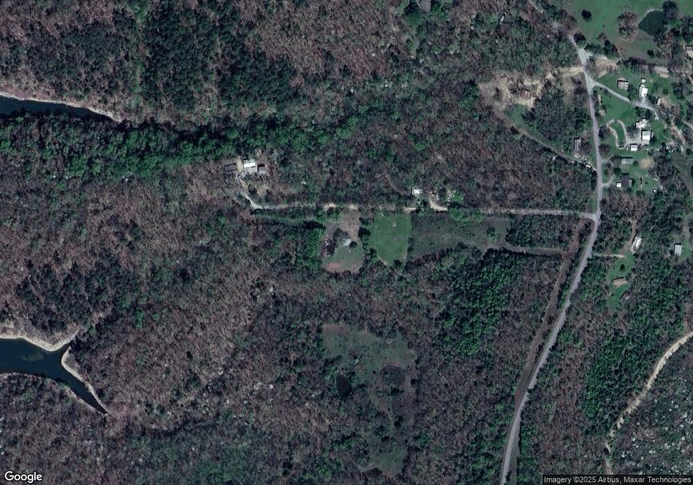
Map
Nearby Homes
- 15 S 550 Rd
- 21595 W 888 Rd
- 21245 W 888 Rd
- 30998 S Molly Brown Rd
- 29300 Hwy 82 Unit 119
- 29300 State Highway 82 Unit 92
- 20717 W 888 Rd
- 0000 Stones Throw
- 13029300 State Highway 82
- 11029300 State Highway 82
- 5029300 State Highway 82
- 6629300 State Highway 82
- 13129300 State Highway 82
- 7929300 State Highway 82
- 7829300 State Highway 82
- 7729300 State Highway 82
- 0 S Hickory Ln Unit 2522684
- 28917 S Ranch Ln
- 23507 E Riverview Dr
- 21331 W Cookson Bend Rd
- 21996 W 881 Rd
- 22014 W 881 Rd
- 21964 W 881 Rd
- W S 550 Rd
- 0 W 550 Rd W
- 29985 S 550 Rd
- 29851 S 550 Rd
- 21650 W 884 Rd
- 7 S 550 Rd
- 29982 S 550 Rd
- 30038 S 550 Rd
- 0 552 Rd Unit 909389
- 0 552 Rd Unit 1820403
- 0 552 Rd Unit 1926310
- 8 S 550 Rd
- 29989 S 552 Rd
- 29976 S 552 Rd
- 30125 S 552 Rd
- 22056 W 877 Rd
- 21648 W 884 Rd