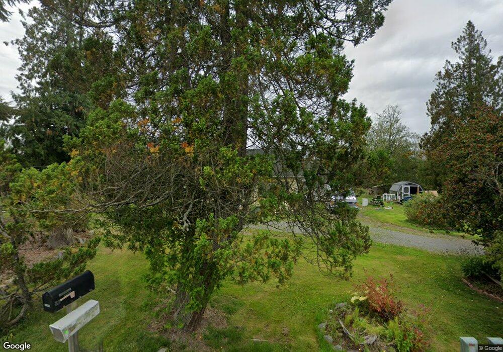
21975 Grip Rd Sedro Woolley, WA 98284
Estimated Value: $423,539 - $687,000
2
Beds
1
Bath
1,224
Sq Ft
$424/Sq Ft
Est. Value
About This Home
This home is located at 21975 Grip Rd, Sedro Woolley, WA 98284 and is currently estimated at $519,385, approximately $424 per square foot. 21975 Grip Rd is a home located in Skagit County with nearby schools including Sedro-Woolley Senior High School.
Ownership History
Date
Name
Owned For
Owner Type
Purchase Details
Closed on
Dec 7, 2012
Sold by
Phillips Howard L
Bought by
Phillips Howard L and Phillips Kathi K
Current Estimated Value
Home Financials for this Owner
Home Financials are based on the most recent Mortgage that was taken out on this home.
Original Mortgage
$127,000
Outstanding Balance
$87,990
Interest Rate
3.37%
Estimated Equity
$431,395
Purchase Details
Closed on
Dec 20, 2005
Sold by
Phillips Howard L
Bought by
Phillips Howard L
Create a Home Valuation Report for This Property
The Home Valuation Report is an in-depth analysis detailing your home's value as well as a comparison with similar homes in the area
Home Values in the Area
Average Home Value in this Area
Purchase History
| Date | Buyer | Sale Price | Title Company |
|---|---|---|---|
| Phillips Howard L | -- | None Available | |
| Phillips Howard L | -- | -- |
Source: Public Records
Mortgage History
| Date | Status | Borrower | Loan Amount |
|---|---|---|---|
| Open | Phillips Howard L | $127,000 |
Source: Public Records
Tax History Compared to Growth
Tax History
| Year | Tax Paid | Tax Assessment Tax Assessment Total Assessment is a certain percentage of the fair market value that is determined by local assessors to be the total taxable value of land and additions on the property. | Land | Improvement |
|---|---|---|---|---|
| 2024 | $3,169 | $352,600 | $239,700 | $112,900 |
| 2023 | $3,169 | $332,600 | $220,200 | $112,400 |
| 2022 | $2,822 | $311,900 | $204,800 | $107,100 |
| 2021 | $2,496 | $246,800 | $157,200 | $89,600 |
| 2020 | $2,348 | $203,100 | $0 | $0 |
| 2019 | $1,763 | $196,800 | $0 | $0 |
| 2018 | $2,004 | $171,100 | $0 | $0 |
| 2017 | $1,748 | $150,900 | $0 | $0 |
| 2016 | $1,759 | $131,800 | $82,700 | $49,100 |
| 2015 | $1,690 | $126,700 | $82,700 | $44,000 |
| 2013 | $1,889 | $117,600 | $0 | $0 |
Source: Public Records
Map
Nearby Homes
- 6948 Howell Ln
- 22484 Grip Rd
- 4776 Prairie Ln
- 7203 Erna Ln
- 5353 Wildlife Acres Ln
- 7514 Avalon Heights Way
- 7583 Avalon Heights Way
- 22788 Grip Rd
- 20063 Parkridge Ln
- 7220 Cliffside Ln
- 5649 Parkridge Place
- 23404 Prairie Rd
- 7311 State Route 9
- 20758 Hartry Ln
- 8520 District Line Rd
- 19379 Morton Rd
- 3955 Humphrey Hill Rd
- 426 Longtime Ln
- 23945 Martin Rd
- 514 Wellington Place