21977 S Patrick Way Estacada, OR 97023
Estimated Value: $1,016,000 - $1,441,000
3
Beds
3
Baths
2,600
Sq Ft
$492/Sq Ft
Est. Value
About This Home
This home is located at 21977 S Patrick Way, Estacada, OR 97023 and is currently estimated at $1,277,938, approximately $491 per square foot. 21977 S Patrick Way is a home located in Clackamas County with nearby schools including Clackamas River Elementary School, Estacada Middle School, and Estacada High School.
Ownership History
Date
Name
Owned For
Owner Type
Purchase Details
Closed on
May 5, 2025
Sold by
Alves Gregory A and Alves Lisa S
Bought by
Gregory And Lisa Alves Trust and Alves
Current Estimated Value
Purchase Details
Closed on
Aug 21, 2007
Sold by
Hennessy Dean and Hennessy Paula
Bought by
Alves Gregory A and Alves Lisa S
Home Financials for this Owner
Home Financials are based on the most recent Mortgage that was taken out on this home.
Original Mortgage
$702,000
Interest Rate
6.73%
Mortgage Type
Credit Line Revolving
Purchase Details
Closed on
Nov 17, 2004
Sold by
Allen Brian K
Bought by
Hennessy Dean and Hennessy Paula
Purchase Details
Closed on
Mar 18, 2003
Sold by
Waheed Abdul
Bought by
Allen Brian K
Create a Home Valuation Report for This Property
The Home Valuation Report is an in-depth analysis detailing your home's value as well as a comparison with similar homes in the area
Home Values in the Area
Average Home Value in this Area
Purchase History
| Date | Buyer | Sale Price | Title Company |
|---|---|---|---|
| Gregory And Lisa Alves Trust | -- | None Listed On Document | |
| Alves Gregory A | $780,000 | Chicago Title Insurance Co | |
| Hennessy Dean | $185,000 | Fidelity Natl Title Co Of Or | |
| Allen Brian K | -- | -- |
Source: Public Records
Mortgage History
| Date | Status | Borrower | Loan Amount |
|---|---|---|---|
| Previous Owner | Alves Gregory A | $702,000 |
Source: Public Records
Tax History Compared to Growth
Tax History
| Year | Tax Paid | Tax Assessment Tax Assessment Total Assessment is a certain percentage of the fair market value that is determined by local assessors to be the total taxable value of land and additions on the property. | Land | Improvement |
|---|---|---|---|---|
| 2024 | $6,602 | $507,511 | -- | -- |
| 2023 | $6,602 | $492,735 | $0 | $0 |
| 2022 | $6,278 | $478,383 | $0 | $0 |
| 2021 | $6,085 | $462,751 | $0 | $0 |
| 2020 | $5,844 | $449,270 | $0 | $0 |
| 2019 | $5,769 | $436,187 | $0 | $0 |
| 2018 | $5,541 | $416,480 | $0 | $0 |
| 2017 | $5,279 | $404,345 | $0 | $0 |
| 2016 | $5,249 | $392,570 | $0 | $0 |
| 2015 | $5,059 | $381,135 | $0 | $0 |
| 2014 | $5,087 | $370,039 | $0 | $0 |
Source: Public Records
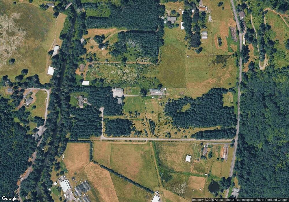
Map
Nearby Homes
- 19588 S Mattoon Rd
- 20698 S Mattoon Rd
- 19636 S Ridge Rd
- 20800 S Mattoon Rd
- 20878 S Ridge Place
- 22352 S Redland Rd
- 22486 S Redland Rd
- 18385 S Springwater Rd
- 18223 S Springwater Rd
- 20959 S Springwater Rd
- 0 Clackams River Unit 677330024
- 0 S Strowbridge Rd Unit 329200310
- 0 S Strowbridge Rd Unit 24366285
- 687 SE Woods Rd
- 20044 S Fischers Mill Rd
- 21216 S Springwater Rd
- 18460 S Clark Ln
- 19595 S Fischers Mill Rd
- 19670 S Fischers Mill Rd
- 19670 S Fischers Mill Rd
- 21800 S Mija Ln
- 21954 Circle Diamond Ln
- 20301 S Mattoon Rd
- 21672 S Mija Ln
- 21822 S Mija Ln
- 21999 Circle Diamond Ln
- 21966 S Circle Diamond Ln
- 21872 S Mija Ln
- 21484 S Mckenzie Ln
- 21988 Circle Diamond Ln
- 20228 S Mattoon Rd
- 21434 S Mckenzie Ln
- 21917 S Mija Ln
- 19918 S Mattoon Rd
- 21794 S Mckenzie Ln
- 0 S Mckenzie Ln Unit 23179849
- 0 S Mckenzie Ln Unit 14590264
- 0 S Mckenzie Ln Unit 1800 15187871
- 0 S Mckenzie Ln
- 20238 S Mattoon Rd