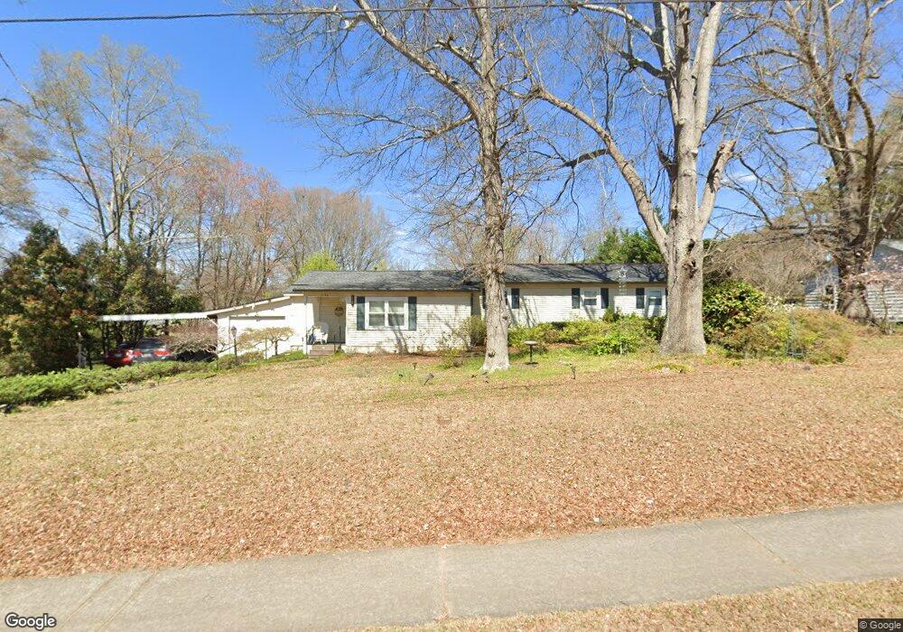
2198 Clay Rd SW Austell, GA 30106
Estimated Value: $268,301 - $291,000
3
Beds
2
Baths
1,669
Sq Ft
$168/Sq Ft
Est. Value
About This Home
This home is located at 2198 Clay Rd SW, Austell, GA 30106 and is currently estimated at $280,325, approximately $167 per square foot. 2198 Clay Rd SW is a home located in Cobb County with nearby schools including Deerwood Elementary School, Clarkdale Elementary School, and Garrett Middle School.
Ownership History
Date
Name
Owned For
Owner Type
Purchase Details
Closed on
May 14, 2021
Sold by
Harper Nancy J
Bought by
Gallardo Osvaldo Martinez and Martinez Delmy Aracely
Current Estimated Value
Home Financials for this Owner
Home Financials are based on the most recent Mortgage that was taken out on this home.
Original Mortgage
$216,015
Outstanding Balance
$195,035
Interest Rate
3%
Mortgage Type
New Conventional
Estimated Equity
$85,290
Create a Home Valuation Report for This Property
The Home Valuation Report is an in-depth analysis detailing your home's value as well as a comparison with similar homes in the area
Home Values in the Area
Average Home Value in this Area
Purchase History
| Date | Buyer | Sale Price | Title Company |
|---|---|---|---|
| Gallardo Osvaldo Martinez | $220,000 | None Available |
Source: Public Records
Mortgage History
| Date | Status | Borrower | Loan Amount |
|---|---|---|---|
| Open | Gallardo Osvaldo Martinez | $216,015 |
Source: Public Records
Tax History Compared to Growth
Tax History
| Year | Tax Paid | Tax Assessment Tax Assessment Total Assessment is a certain percentage of the fair market value that is determined by local assessors to be the total taxable value of land and additions on the property. | Land | Improvement |
|---|---|---|---|---|
| 2025 | $2,607 | $86,512 | $30,608 | $55,904 |
| 2024 | $2,608 | $86,512 | $30,608 | $55,904 |
| 2023 | $2,212 | $73,352 | $28,996 | $44,356 |
| 2022 | $1,933 | $63,688 | $19,332 | $44,356 |
| 2021 | $988 | $45,868 | $14,500 | $31,368 |
| 2020 | $310 | $45,868 | $14,500 | $31,368 |
| 2019 | $303 | $43,288 | $11,920 | $31,368 |
| 2018 | $290 | $38,964 | $10,956 | $28,008 |
| 2017 | $249 | $35,740 | $7,732 | $28,008 |
| 2016 | $250 | $35,740 | $7,732 | $28,008 |
| 2015 | $267 | $35,740 | $7,732 | $28,008 |
| 2014 | $238 | $29,064 | $0 | $0 |
Source: Public Records
Map
Nearby Homes
- 2236 Clay Rd
- 2125 Clay Rd SW
- 2276 Clay Rd SW
- 2179 Warren Dr
- 4809 Hemlock Dr
- 2331 Weslan Dr
- 4747 Nelda Dr
- 5164 Medford Ln
- 5154 Medford Ln
- 5069 Flint Hill Rd Unit AB
- 5069 A B Flint Hill Rd
- 2349 Shire Ct
- 1 Perkerson Mill Rd SW
- 2163 Willow Ln
- 2373 Buckley Ct
- 6025 Park Wood Ct
- 2136 Perkerson Mill Rd SW
- 2110 Plum Ln
- 2650 Park Ave