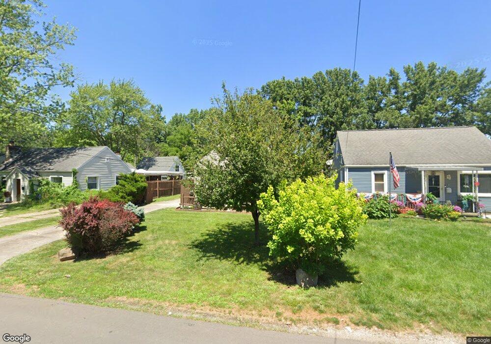
2198 Lehner Rd Columbus, OH 43224
North Linden NeighborhoodEstimated Value: $165,000 - $230,000
3
Beds
1
Bath
1,050
Sq Ft
$192/Sq Ft
Est. Value
About This Home
This home is located at 2198 Lehner Rd, Columbus, OH 43224 and is currently estimated at $201,240, approximately $191 per square foot. 2198 Lehner Rd is a home located in Franklin County with nearby schools including North Linden Elementary School, Medina Middle School, and Mifflin High School.
Ownership History
Date
Name
Owned For
Owner Type
Purchase Details
Closed on
Jul 8, 2004
Sold by
Eaton Jimmy D and Eaton Barbara
Bought by
Shepherd Michael E
Current Estimated Value
Home Financials for this Owner
Home Financials are based on the most recent Mortgage that was taken out on this home.
Original Mortgage
$83,000
Outstanding Balance
$40,183
Interest Rate
5.75%
Mortgage Type
Purchase Money Mortgage
Estimated Equity
$161,057
Purchase Details
Closed on
Sep 7, 2000
Sold by
Kolarik Sylvester and Kolarik June D
Bought by
Eaton Jimmy D and Eaton Barbara
Create a Home Valuation Report for This Property
The Home Valuation Report is an in-depth analysis detailing your home's value as well as a comparison with similar homes in the area
Home Values in the Area
Average Home Value in this Area
Purchase History
| Date | Buyer | Sale Price | Title Company |
|---|---|---|---|
| Shepherd Michael E | $83,000 | Title First | |
| Eaton Jimmy D | -- | -- |
Source: Public Records
Mortgage History
| Date | Status | Borrower | Loan Amount |
|---|---|---|---|
| Open | Shepherd Michael E | $83,000 |
Source: Public Records
Tax History Compared to Growth
Tax History
| Year | Tax Paid | Tax Assessment Tax Assessment Total Assessment is a certain percentage of the fair market value that is determined by local assessors to be the total taxable value of land and additions on the property. | Land | Improvement |
|---|---|---|---|---|
| 2024 | $2,891 | $50,060 | $10,680 | $39,380 |
| 2023 | $2,860 | $50,050 | $10,675 | $39,375 |
| 2022 | $1,797 | $24,680 | $6,340 | $18,340 |
| 2021 | $1,800 | $24,680 | $6,340 | $18,340 |
| 2020 | $1,802 | $24,680 | $6,340 | $18,340 |
| 2019 | $1,542 | $19,540 | $5,080 | $14,460 |
| 2018 | $1,614 | $19,540 | $5,080 | $14,460 |
| 2017 | $1,540 | $19,540 | $5,080 | $14,460 |
| 2016 | $1,935 | $22,190 | $4,130 | $18,060 |
| 2015 | $1,688 | $22,190 | $4,130 | $18,060 |
| 2014 | $1,691 | $22,190 | $4,130 | $18,060 |
| 2013 | $922 | $24,640 | $4,585 | $20,055 |
Source: Public Records
Map
Nearby Homes
- 2283 Ward Rd
- 2144 Colfax Ave
- 2220 Sale Rd
- 2219 Sale Rd
- 4111 Walford St
- 2023 Ferris Rd
- 4090 Cleveland Ave
- 1997 Ferris Rd
- 1936 Case Rd
- 2091 Radnor Ave
- 1863 Ward Rd
- 4103 Arbury Ln
- 2529 Ferris Park Dr S
- 2020 E Cooke Rd
- 2547 Ferris Park Dr S
- 3685 Cleveland Ave
- 2561 Adda Ave
- 2588 Adda Ave
- 2594 Adda Ave
- 3801 Westerville Rd