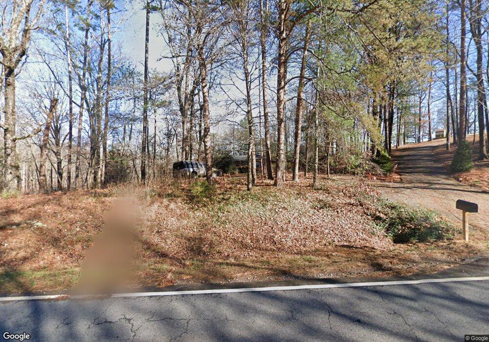
2199 Auraria Rd Dahlonega, GA 30533
Estimated Value: $287,000 - $382,000
--
Bed
2
Baths
1,816
Sq Ft
$180/Sq Ft
Est. Value
About This Home
This home is located at 2199 Auraria Rd, Dahlonega, GA 30533 and is currently estimated at $326,664, approximately $179 per square foot. 2199 Auraria Rd is a home located in Lumpkin County with nearby schools including Clay County Middle School and Lumpkin County High School.
Ownership History
Date
Name
Owned For
Owner Type
Purchase Details
Closed on
May 24, 1996
Sold by
Upchurch William Lou
Bought by
Upchurch William Lou
Current Estimated Value
Purchase Details
Closed on
Sep 1, 1994
Sold by
Upchurch Lora Mae
Bought by
Upchurch William Lou
Purchase Details
Closed on
Jan 1, 1991
Sold by
Upchurch Lora Mae
Bought by
Upchurch Lora Mae
Purchase Details
Closed on
Mar 16, 1972
Bought by
Upchurch Lora Mae
Create a Home Valuation Report for This Property
The Home Valuation Report is an in-depth analysis detailing your home's value as well as a comparison with similar homes in the area
Home Values in the Area
Average Home Value in this Area
Purchase History
| Date | Buyer | Sale Price | Title Company |
|---|---|---|---|
| Upchurch William Lou | -- | -- | |
| Upchurch William Lou | -- | -- | |
| Upchurch Lora Mae | -- | -- | |
| Upchurch Lora Mae | -- | -- |
Source: Public Records
Tax History Compared to Growth
Tax History
| Year | Tax Paid | Tax Assessment Tax Assessment Total Assessment is a certain percentage of the fair market value that is determined by local assessors to be the total taxable value of land and additions on the property. | Land | Improvement |
|---|---|---|---|---|
| 2024 | $1,616 | $67,558 | $20,708 | $46,850 |
| 2023 | $1,490 | $63,336 | $19,353 | $43,983 |
| 2022 | $1,457 | $58,846 | $16,126 | $42,720 |
| 2021 | $1,340 | $52,345 | $16,126 | $36,219 |
| 2020 | $1,340 | $50,783 | $15,451 | $35,332 |
| 2019 | $1,352 | $50,783 | $15,451 | $35,332 |
| 2018 | $1,331 | $46,921 | $15,451 | $31,470 |
| 2017 | $1,383 | $47,791 | $15,451 | $32,340 |
| 2016 | $1,315 | $43,974 | $15,451 | $28,523 |
| 2015 | $1,186 | $43,974 | $15,451 | $28,523 |
| 2014 | $1,186 | $44,975 | $15,451 | $29,524 |
| 2013 | -- | $45,475 | $15,451 | $30,024 |
Source: Public Records
Map
Nearby Homes
- 0 Honey Tree Terrace Unit 10448792
- 0 Honey Tree Terrace Unit 7516071
- 3149 Auraria Rd
- 251 Bearslide Hollow
- 775 Crooked Creek Dr
- 1047 Nugget Ct
- Lot 5 Still Rd
- 191 Sleepy Hollow Rd
- 190 Grand Oak Ln
- 0 Falling Pines Rd Unit 10643861
- 0 Falling Pines Rd Unit 7681028
- 120 Rivermont Ln
- 114 Funaro Ln
- 1170 Calhoun Rd
- 1415 Calhoun Rd
- 15 Baker St
- 735 Calhoun Rd
- 99 Madeline Anthony Road Lots 44 and 45
- 99 Madeline Anthony Rd
- 0 Dawsonville Hwy Unit 10631159
- 2161 Auraria Rd
- 0 John Walker Rd Unit 8382568
- 0 John Walker Rd
- 0 John Walker Rd Unit 8147424
- 0 John Walker Rd Unit 7245728
- 0 John Walker Rd Unit 7441833
- 0 John Walker Rd Unit 8639773
- 2205 Auraria Rd
- 61 John Walker Rd
- 2218 Auraria Rd
- 2217 Auraria Rd
- 62 John Walker Rd
- 2319 Auraria Rd
- 67 John Walker Rd
- 2011 Auraria Rd
- 43 Walkabout Way
- 67 Walkabout Way
- 127 John Walker Rd
- 127 John Walker Rd Unit 1
- 93 Walkabout Way